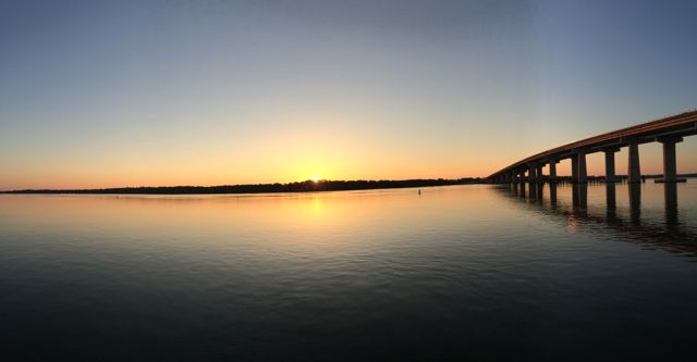
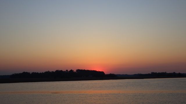
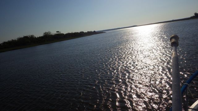
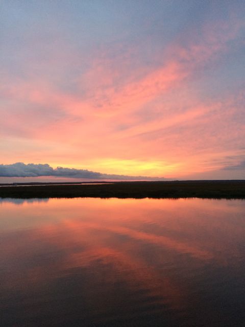
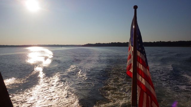
We were up at first light. This might look like yesterday’s sunrise, but it truly is today’s. Another gorgeous day for boating!
Sunrise in Beaufort, SC 6:36am
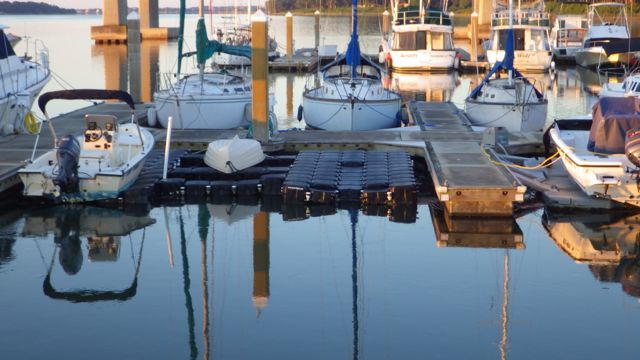
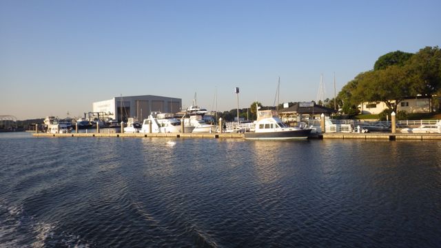
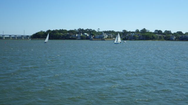
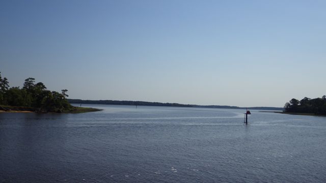
The three Looper crews we met were off the dock ahead of us at first light. Today is a 70 mile day from Beaufort, SC to Charleston, SC. At least 7 – 8 hours on the water way. We were primed and ready to go!

Leaving Port Royal Landing Marina
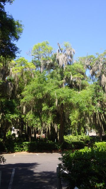
First view from Always Home this morning is the tree lined waterway. I almost didn’t see the tree for all the spanish moss hanging down from it. Wow. Can the moss kill the tree?? I don’t see much green.

Tree overwhelmed with Spanish Moss
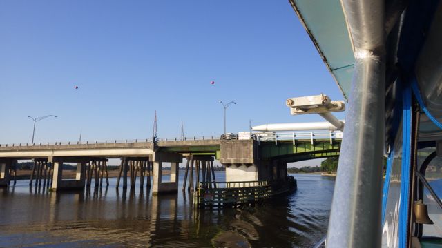
Ladys Island Swing Bridge was open for the sail boat going south. We took the opportunity to go through it at the same time. We didn’t need to since it has a 30ft clearance. We just enjoy watching the mechanics of these pivoting bridges.

Ladys Island Swing Bridge

Fully opened Lady Island Swing Bridge
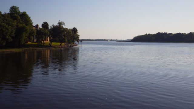
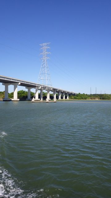
Clear skies in the forecast. Beautiful! We had to get our sunglasses on for the glare it was so bright! After that rough first night of ‘bouncy-bouncy’ we have had smooth water.
Clear skies at 7:50am. No one following us.
Looks like an Osprey nest on this ICW marker. The marker doesn’t move and a safe place to raise a few young ones. We didn’t see anyone around. OR they were ducking down?! Actually, I am surprised I haven’t seen more wild life along the way. (psst…if you look forward to the left you will see one of the boats we are following today..)
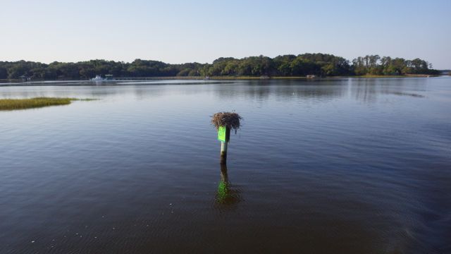
Ospry nest on a ICW channel marker
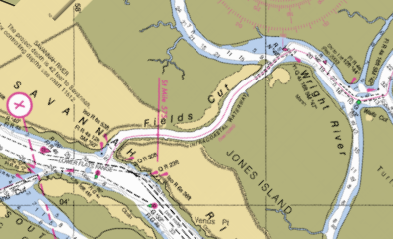
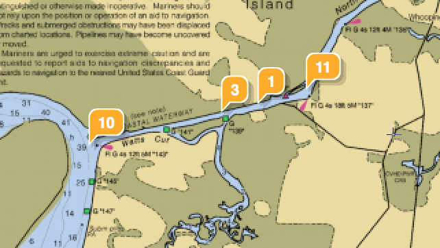
We do have a several challenges today. Again, scary sounding in that the we were forewarned to take these challenges at mid-tide or better. We are going to take these two challenges on a rising tide. We are learning to read the tide tables and determine the best times for our transits. Never a dull moment when moving a boat along the ICW!
You see the orange markers? That is where the shoaling hazards have been indicated. During low tide or very low water there is an opportunity to scrape the gunk off the bottom of your boat. We just had our bottom cleaned so we didn’t really need to test the depth.
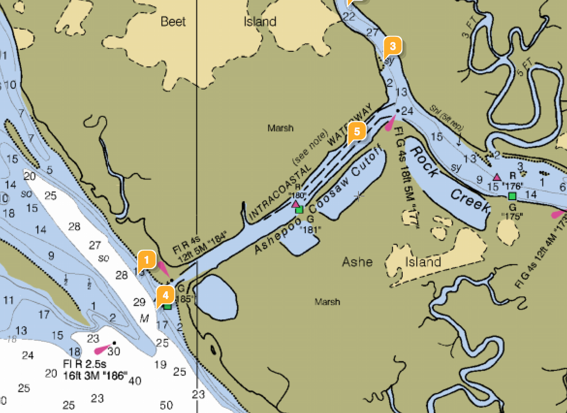
Ashepoo Coosaw Cutoff
Here is what I saw as Wayne was ready to pass Green marker 85 down our starboard side. Going a bit wide of the green marker since it was a bit shallow for the boat up ahead. Doesn’t look that scary, does it? It is far more narrow than the water we just left. Fingers crossed and we won’t see less than 6 ft of water!!
Entering Ashepoo Coosaw Cut – 9.17am
As always, I stand behind Wayne reading out the depths from our depth finder as he expertly drives the boat trying to both maintain depth, follow the magenta line or not, and keep the boat midpoint between both shores. No pictures… I was busy. 😉 The Loopers ahead were communicating on the VHF radio their depths and warnings as they guided us through these narrow parts.
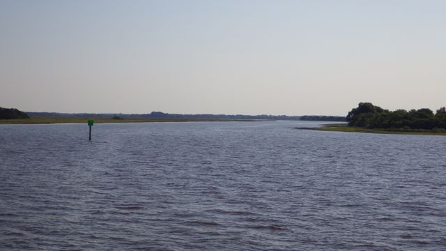
The next challenge doesn’t look too bad.

Fenwick Cut – small
As we turn the corner, you can see the Fenwick Cut on the left.
Approaching Fenwick Cut
You can see all the way across the cut! It isn’t that long. Aren’t humans marvelous to put a bi-pass here so we don’t have to travel around this area. Marvelous.

Entering Fenwick Cut
Our third challenge is Watts Cut:
Watts Cut
You can see the boats ahead that we were following. Wonderful crews. Helping newbies like us.
Entering Watts Cut
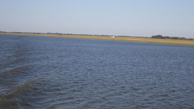
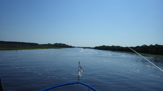
We made it through, no problems. Or not that I can remember. hahaha Stress makes the memory disappear when everything calms down. I was able to relax and enjoy a bit of lunch. Yes. I did give Wayne a break. He rested his eyes as I drove the boat through deep wide waters. I think I took these next few photos while I was driving. Don’t tell Wayne. Our view as we were motoring up the North Edisto River.
Port side view
Starboard side view
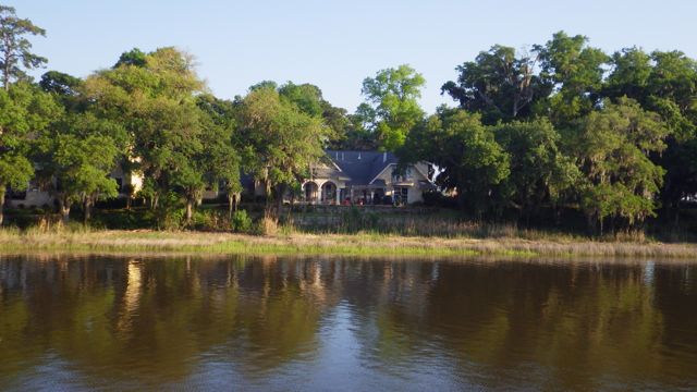
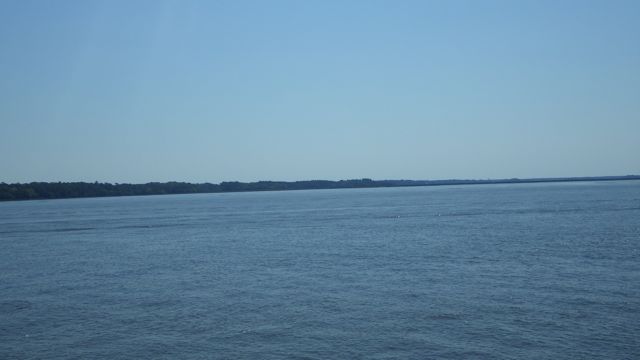
More views of the homes along the river. Can’t see them? We can’t either in some cases. Their docks are jutted out from the mainland quite a distance. I bet they don’t come out to the end often. Looks like almost a 1/2 mile long!
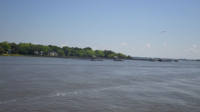
Dock along way from land
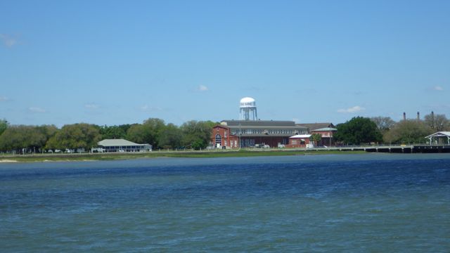
Looks like a busy marina or boat works. Looks like a barge or two stopping in for work.
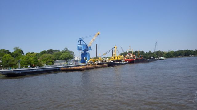
Boat dock?
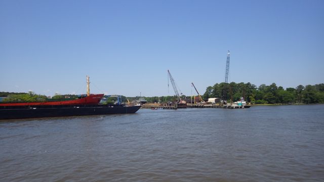
Boat Works looks busy!
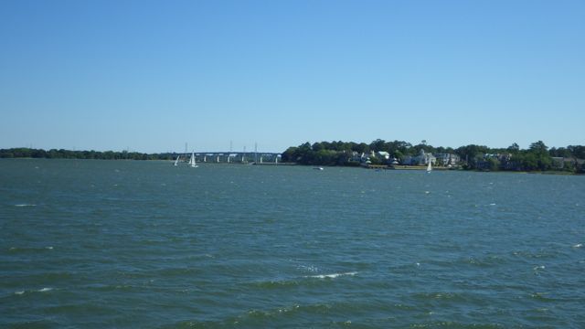
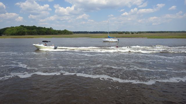
The last challenge for the day is going through Elliot Cut on the outside of Charleston Harbor. Of course, we found lots of boaters on the water. It was Sunday, after all. We had to slow down to a crawl so that we wouldn’t rock these folks out of their dinghies.
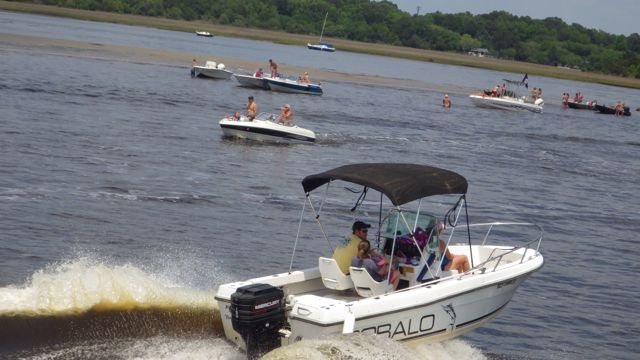
“Go-Fast-Boats” passing us with nary a wave
More “Go-Fast-Boats”

If you see dogs at play , it must be low water!
The challenge to Elliot Cut is the current. All that water from Stono River on the ICW running through the narrow channel to Ashley River in Charleston Harbor.
Elliot Cut
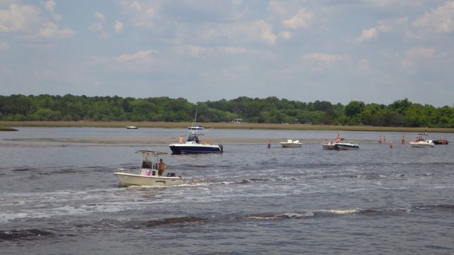
The unexpectant challenge was all the extra boaters in the water!
Entering the Elliot Cut
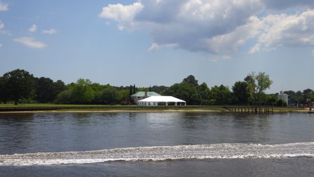
An Event location? Ready for the next wedding or party
We didn’t see more than than 3 boats ahead all day. Now there are people, boats, and more boats everywhere!!
More “Go-Fast-Boats” as we exited Elliot Cut
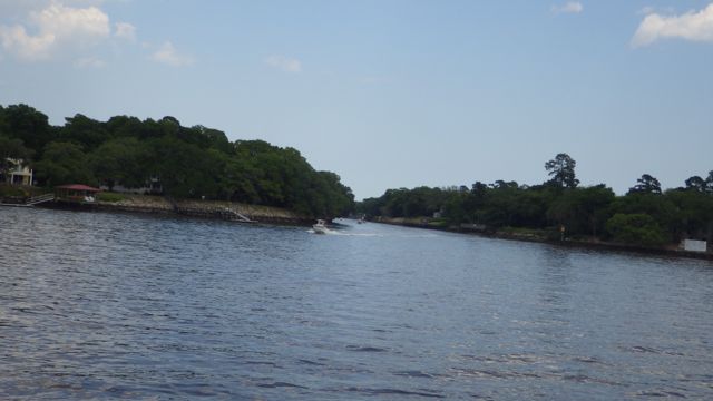
Into Ashley River and finding our way to the marina. I am busy with the binoculars scouting for boating traffic, commercial traffic, and more humans!
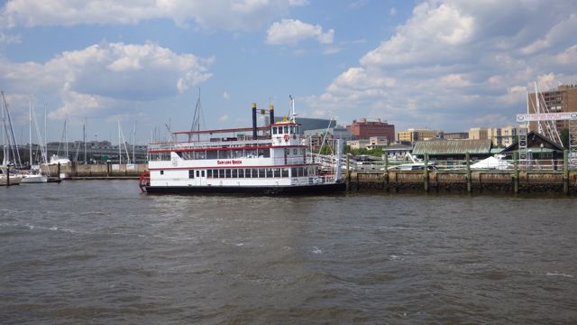
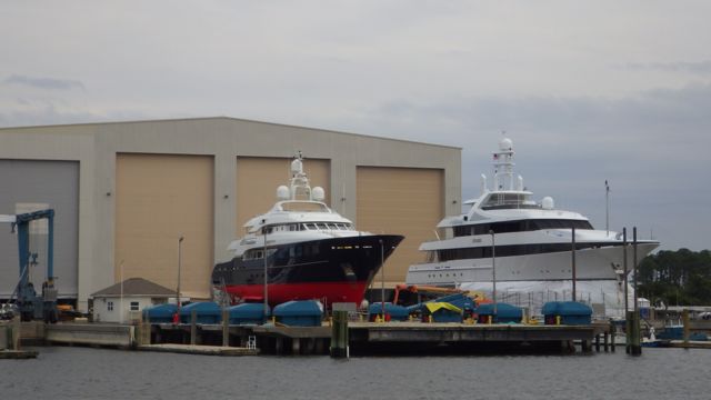
Carolina Queen at dock
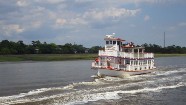
We are passing Delta Lady
We are docked on the inside of the long dock.

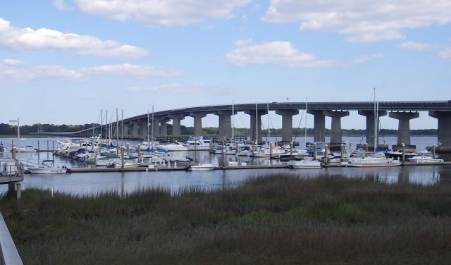
We have arrived at the Harborage at Ashley Marina
Opposite us is the “Research Vessel” Dan Moore. Some of you were wondering why I label our blog MVAlwaysHome. MV = Motor Vessel. SV = Sailing Vessel and now I have shown you a RV = Research Vessel. Not to be confused with Recreational Vehicle.
Apparently, it is no longer a “research vessel”. It was purchased last year from Cape Fear Community College and is now a salvage vessel and treasure hunter. We didn’t see any gold doubloons hanging around on the deck. Maybe next time.
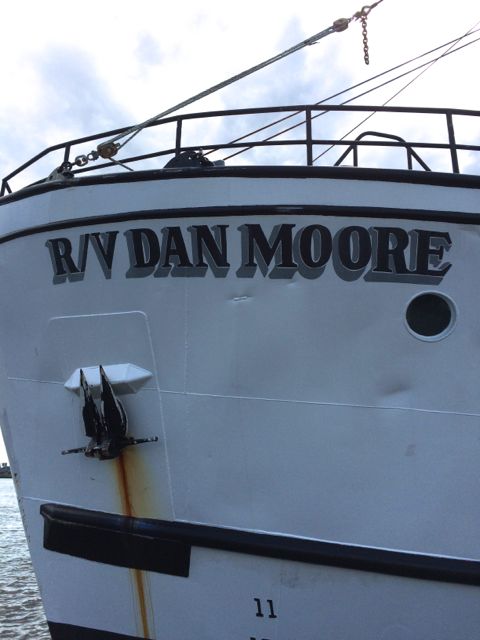
RV Dan Moore – Charleston SC
By the time we were settled, we indeed had a 8.5 hour day. The Docks Master’s check-in location is a small building at the end of the dock. We didn’t need to walk far to just check in. It is again some distance to land. We saw several folks with bicycles going from land to their boat. The marina is that big. Wow!!

Harborage at Ashley as the afternoon waned.
Tomorrow morning the wind should be less than 5mph. Should be an easy departure. We are exhausted. Time for a quick dinner and bed. I think we were in bed before sunset.