
Red sky in the morning means?? I don’t think so. Not today, sailor!! We are on our way to Port Royal Landing Marina in Beaufort, SC. The rain has passed and it is time to go.
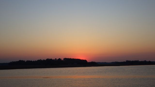
Sunrise in Thunderbolt Marina
We said our goodbyes and thanks for the donuts! We even got them this morning just as we were getting the boat ready to travel. How awesome is that?
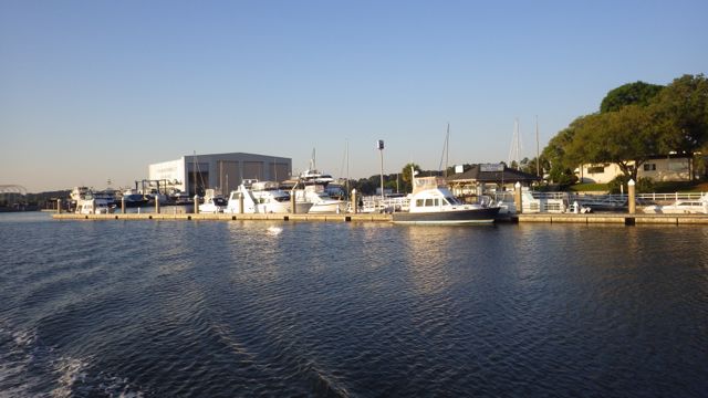
Leaving Thunderbolt Marina
From the waterway you can see Bonaventure Cemetery… noted for historical significance and the trees. Yes, a movie or two have been shot at the cemetery. A few famous people have been buried there. No one I know. It is the TREES that capture most people’s eye. It is over 150 acres and you can still petition to be buried there. The trees are wonderful!

Bonaventure Cemetery
The boat ahead of us on the end of the dock is headed in our direction! They mentioned they were going to have to wait for the swing bridge. What swing bridge?? I hadn’t read anything about a bridge that we had to wait for. Oh…they have tall antennas and needed more than 30 ft. This swing bridge has a height of 21 feet. We can get under that! No need for us to wait. Besides, the signage said no opening between 7am – 9am for rush hour traffic. Hmmm…. it is opening at the half hour? Hmmmm what day is today? Ahhhh. Sunday!! No wonder it is opening. No rush hour! haha I really need to look at a calendar more often than I do.
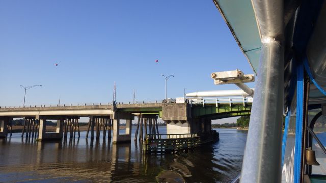
Sam Varnadoe Swing Bridge – 21 ft.
We decided to follow the boat through Field’s Cut. The challenge for the day. It seems there are at least one challenge per day. Sometimes two. Today, should be ok. All the reports mention to sail through this cut at high tide or better. Some folks have found less than 3.5 ft. That just wouldn’t do for us with a draft of 4.5 ft. High tide was just at 7:30am. We were right on time!!
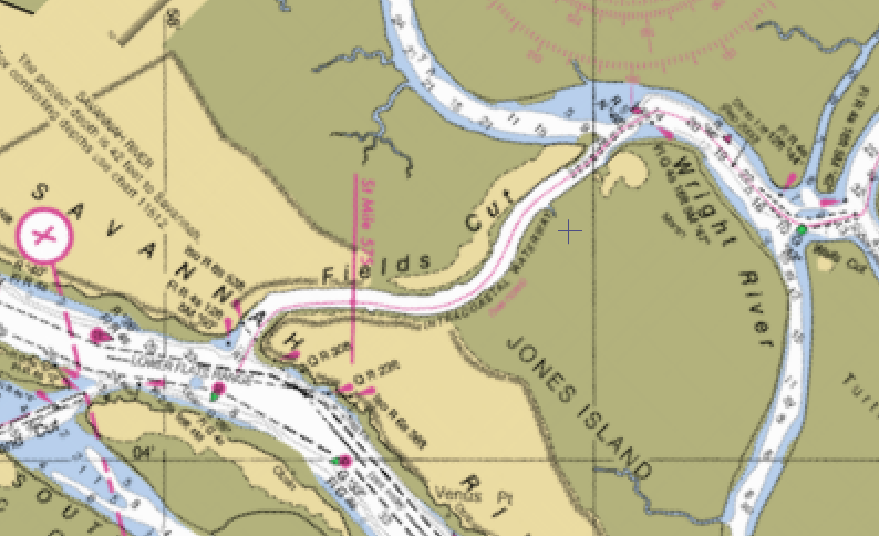
Field’s Cut
Part of the challenge is that you are leaving deep wide rivers for small man-made looking canals. These canals or cuts fill with sediment rather easily from the larger rivers. These areas are considered “known” hazardous areas to the local folk. Unaware transient boaters sometimes get caught and hit bottom. The good news is that the bottom is sandy and if they wait long enough the tide will change and help them lift the boat off the bottom.
There were a couple of shallow spots but with me reading out the depths to Wayne so he could concentrate on driving the boat, we had plenty of water.
Nice looking houses along the water front. The grasses and marsh area in front of the house really gives it character.
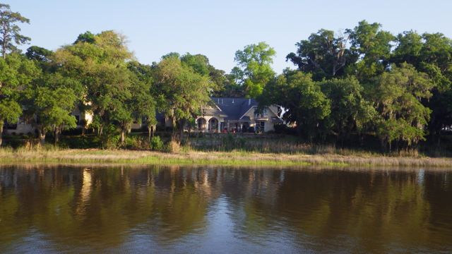
Home along the waterfront.
Just how long were we in Georgia? Where is that calendar? We crossed over into South Carolina in the early morning. Right around here…
Crossing into South Carolina
We motored through winding rivers. I got a picture of us following this trawler.
Following a Trawler
Same trawler….flatter land… more marsh… You can see that the waterway is winding around. It looks a lot closer than it is, water-wise.
Same Trawler we are following
Approaching Hilton Head Island meant finding more boats in the water. Lots of little sail boats playing in the wind. A few “go fast boats” to keep our eye on as they zipped past us far too fast.
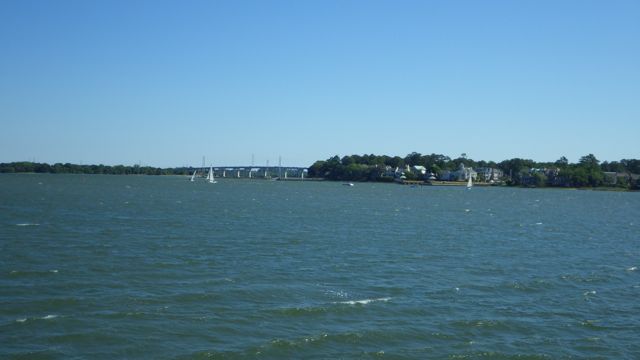
Sail boats ahead
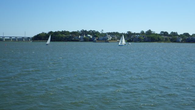
Little sail boats
And you did see that bridge in the picture? People are always near bridges as I have noted.
On the other side of this bridge are what my Father used to call “Land Gobblers”. Where ever you see these huge electrical towers, the land around them is cut away, cleaned out, grabbed by the monster!! They grab the land and sea, apparently!! Notice this gobbling the next road trip you take. You’ll see.
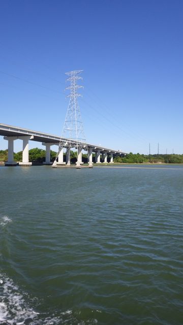
Land grabbers
As we rounded the bend or two from Hilton Head, I noticed this land of small buildings. It looked unusual. Maybe a prison? A housing development. Single level buildings surrounded by trees. Maybe a college. Just a different sort of groupings of buildings that I have seen before.
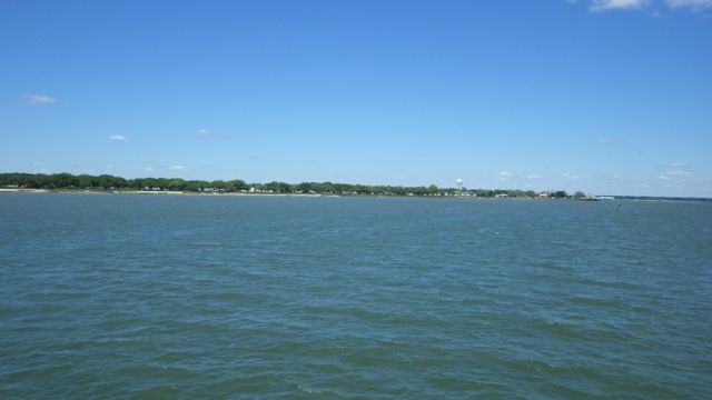
Low buildings?
I got out the binoculars…. zero’d in on the tower. It is labeled “We Make Marines”. Parris Island. The land of the Marine Builders!! Now it makes sense!!
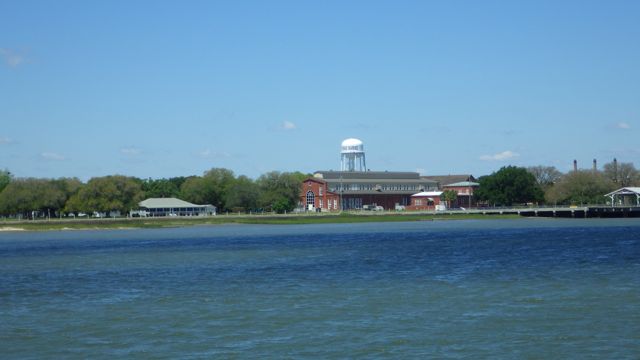
“We Make Marines” on the water tower
Easy day, relatively. The wind kicked up a bit, but Wayne was able to get the boat fueled and docked with minimal problems. We were put w-a-y out there on the end of the pier. On the outside which meant we felt a bit more waves than anyone on the “inside”. Our boat bounced up and down at least 2-3 ft for several hours until the wind died down and the boat traffic eased. We even had a couple of fellow Loopers stop by and remark…. “Yep, the wind should die down soon! Yep, about 7:30pm. Too bad you couldn’t get an inside slip.”
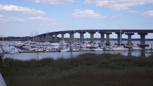
See our boat?
Night fell to a calm sea and fast asleep.
