November 11, 2015 – From Pensacola, FL to Sandestin, FL

Good Morning Floridians!!  A cloudy day for us all.  We have a 55 mile day planned for today.  You see, we are on another “hurry up” to get the maximum distance during these beautiful days ahead to get to Apalachicola so we can “wait” for the optimal weather for crossing the Gulf of Mexico.  Additionally, some big wind is coming this weekend and we want to be safely secured place for 25-35 mph winds.  We have heard that those kinds of winds are not terribly bad within the protected waters of the ICW (GIWW).  I don’t know since this is the first time we have ever been in the GIWW.  Caution becomes our watch word.  Patience is the other.  I am sure you can imagine all the other words that might pop up in your mind that I might say.  hahaha

7.34am - rocket ship in the morning? 11-11-15

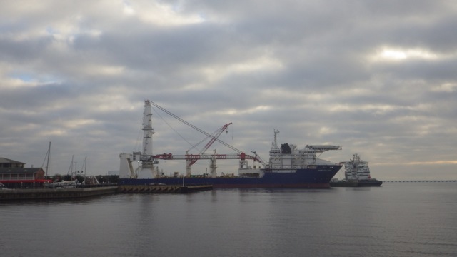
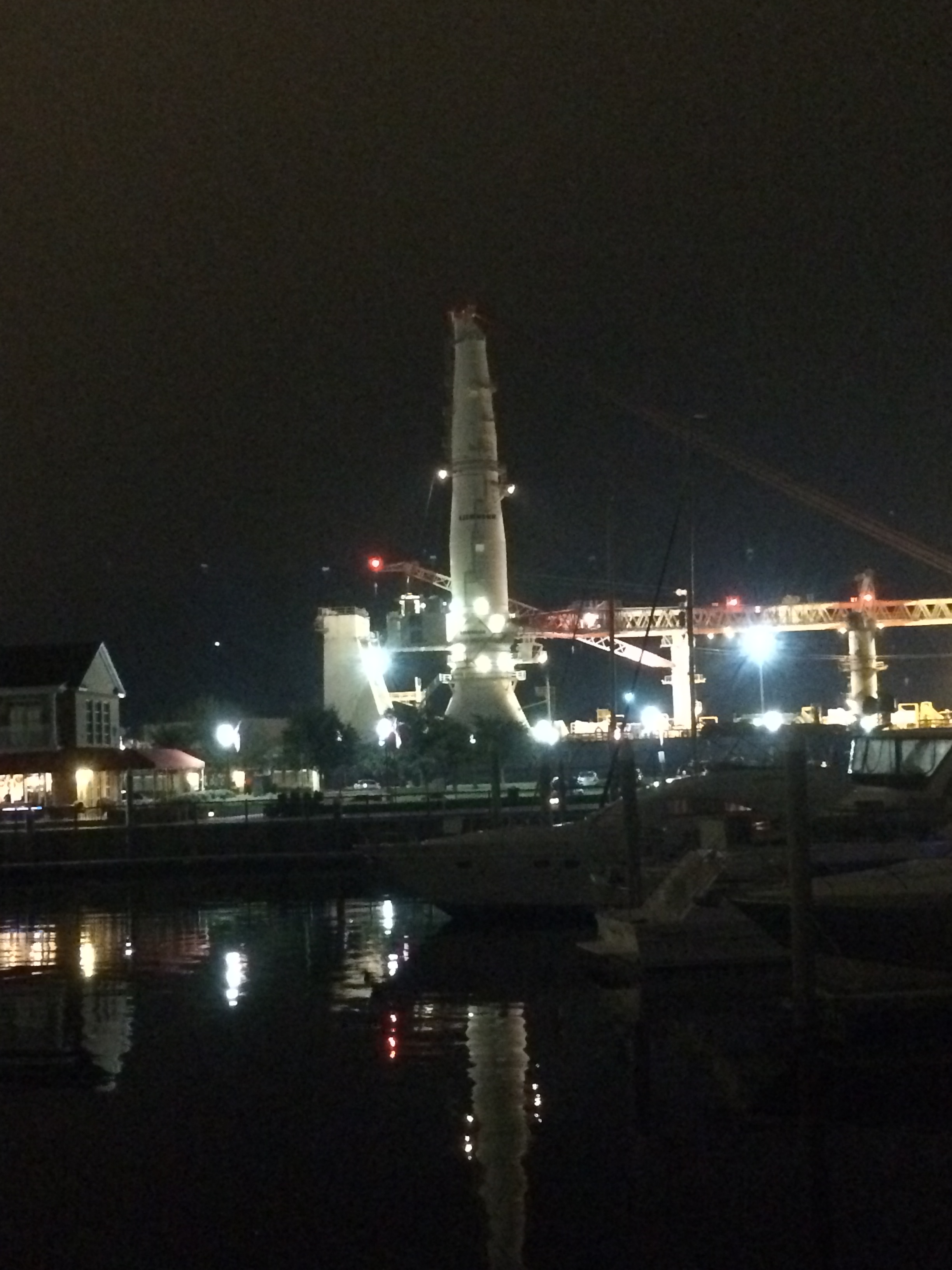
Still looks like a rocket ship ( to Mars?) in the morning light!

If you haven’t been able to tell up to this point, I am really a SciFi fan and that does look like an old style rocket ship.  It could be taller, though.  Did you ever see the Star Trek Movie “First Contact” about an engineer who caught the Vulcan’s attention with his warp engine on a rocket ship that looked just like that one?!?!  Well, if you did, you know what I mean.  If you haven’t watched it, it has enough humor for even the non-science viewer to appreciate.  (Live Long and Prosper)

7.36am - leaving Palafox Pier 11-11-15

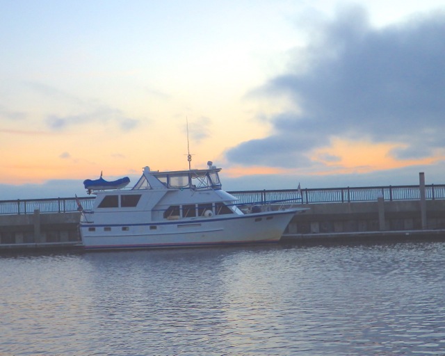
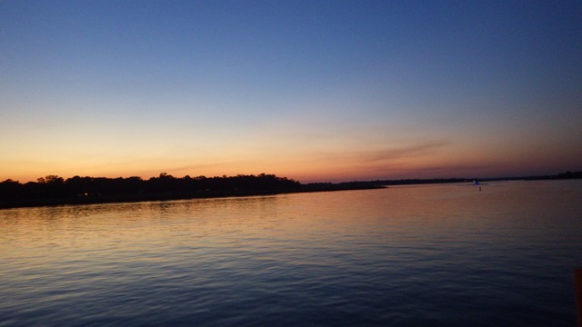
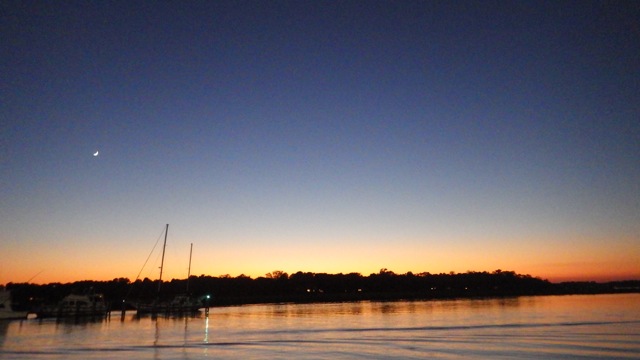
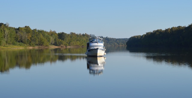
Leaving Palafox Pier, Panama City, FL

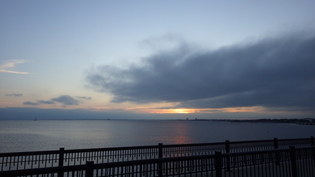
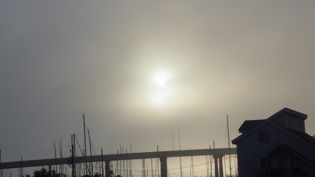
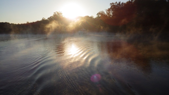
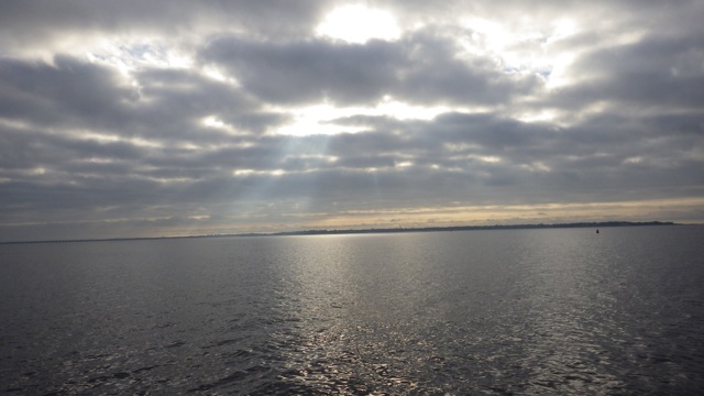
Wayne looked over and told me to capture this moment.  Sun rays peeking the cloudy morning.

7.42am - past sunrise clouds and rays 11-11-15

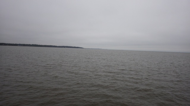
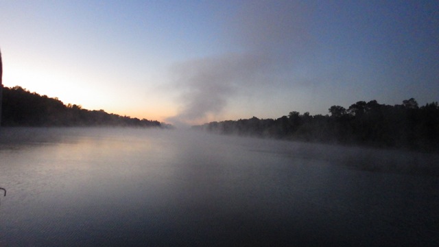
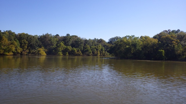
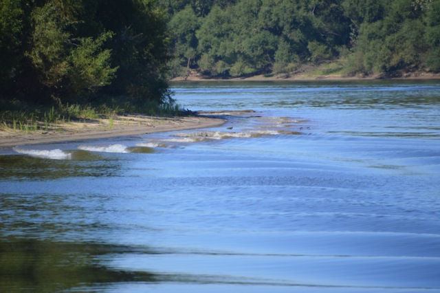
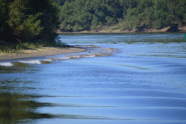
As with all forecasts, we were expecting about a foot of waves in this area.  Maybe out in the Gulf because we had almost flat water within the GIWW.  I thought I read that we might have a “light chop” but this certainly wasn’t choppy either.  Very nice boating!!

8.04am - calm waters! 11-11-15

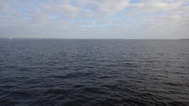
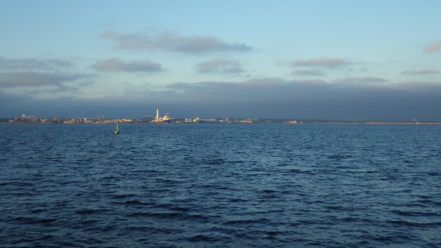
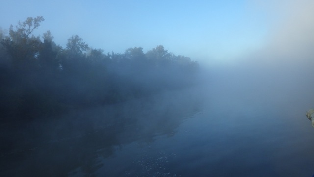
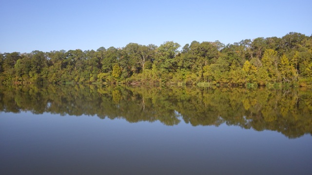
Calm Waters this morning!

9.41am - along the GIWW 11-11-15

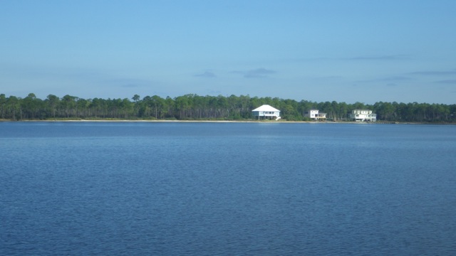
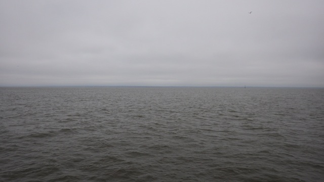
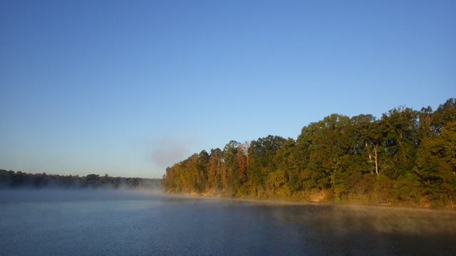
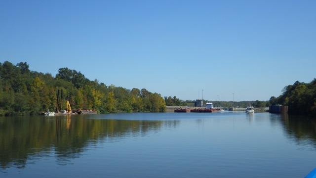
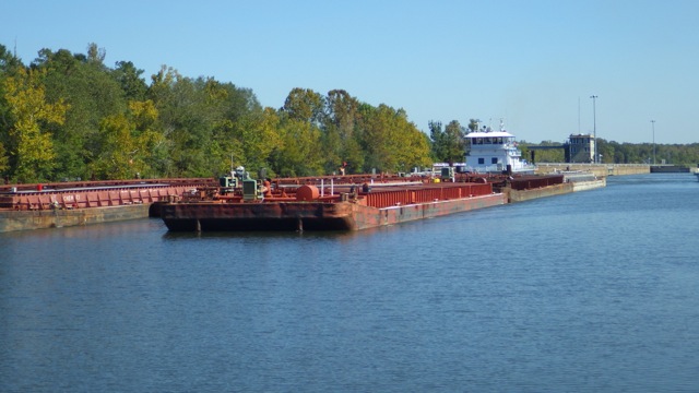
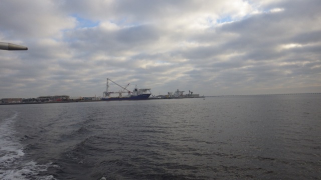
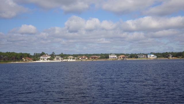
Scenery along the GIWW this morning

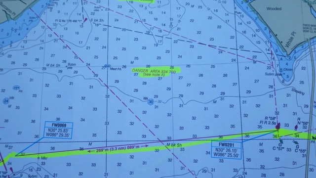
We like to use paper charts so we can see the big picture.  We had taken the advice of another Looper ( Gold now ) to highlight the path we plan on traveling the next day.  It makes it easier to see all the day’s travel easier.  As I highlighted today’s path, I saw a couple of “warnings” that looked interesting.

Eglin Air Force base is close by.  Danger 334.700 refers to this area being used as a gunnery range (https://www.law.cornell.edu/cfr/text/33/334.700).  By definition at the link, we can boat in these waters unless the Air Force is using the area for firings.  They will notify the public.  Great!  That little warning about unexploded bombs certainly would keep the normal fishermen out of the area!!  Who wants to troll around these waters?  Wowza!!
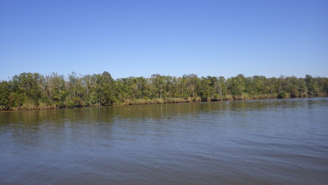
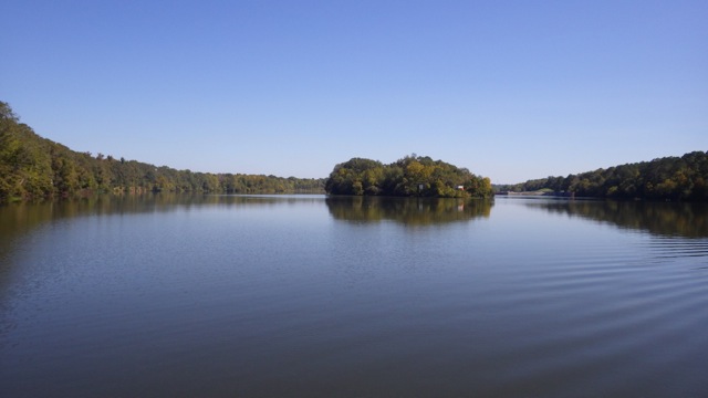
10.24am - long view charts with danger zones 11-11-15

Choctoawhatchee Bay

10.24am - charts with danger zones 11-11-15

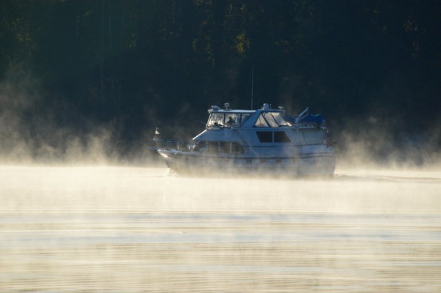
Interesting to note, we saw very very few boats in these waters!!  Very few.  Actually, I think we were the only boat we saw almost all day.  We didn’t dawdle either.  Just made me nervous.

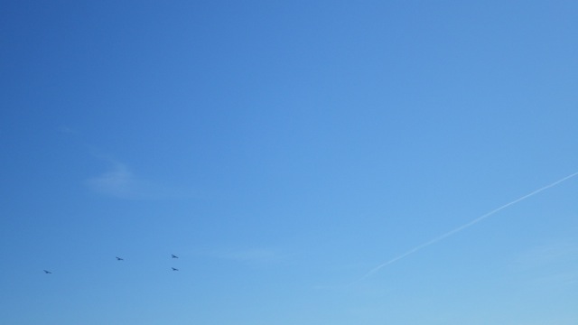
Then Wayne notices these planes flying above our heads.  Undoubtedly, they were practicing formation patterns.  Nothing to worry about.  Really.  There are movies that come to mind where people are chased by planes like this.  Can you think of at least one?

11.36am - planes flying over? 11-11-15


10.29am - scenery along the GIWW 11-11-15

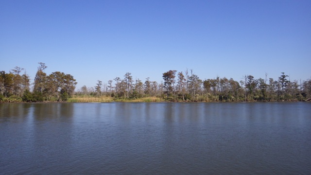
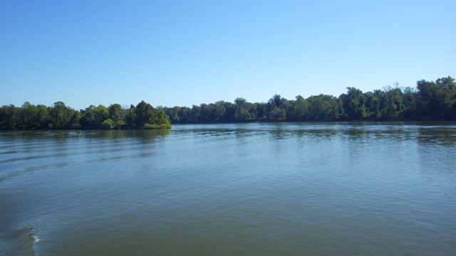
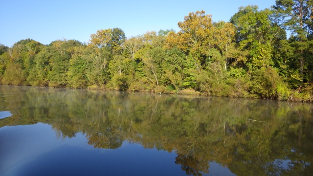
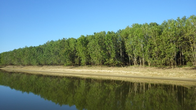
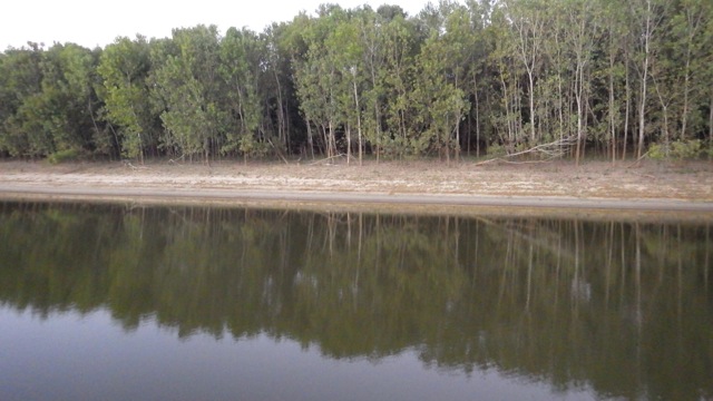
Late morning view along the waterway


Dolphins in the morning!!  Several dolphins in this group.  Lovely to see these fine creatures follow along even for a few minutes.  


We can’t hazard a guess what this tall structure is supposed to be.  Actually, Wayne’s first thought is that it is a very poorly disguised UFO.  “Men in Black” type.  We aren’t exactly sure whether this is a Light House that doesn’t appear on the charts or chart plotter software.  Looks quite interesting.

10.55am - exactly what is this? tower 11-11-15

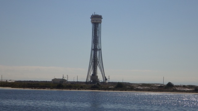
Alien? UFO holder? Light House?

The charts have identifiers I have mentioned before.  Towers, Radar Dome, etc so that you can tell where you are based on the landmarks around you.  That thing above??  Isn’t noted.  Maybe it is new.

10.55am - radar dome 11-11-15

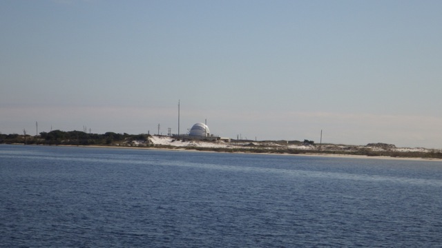
Radar Dome! This IS noted on the charts


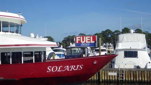
We arrived at BayTowne Marina, Sandestin, FL in the early afternoon.  Plenty of time for a short nap before walking into the “The Village of Baytowne Wharf” for dinner.

Baytowne marina Sign 11-12-15

We were told to follow the Wharf walkway from the Marina to the Village.  The path is amongst those trees.  Wayne said…did you actually see someone walking on the path?  Are you sure it really leads to the Village.  Of course, it does!!

walkway to the little village at Sandesting 11-11-15

The Walkway from the marina to the Village

The Wharf walkway lets you meander by several viewing towers, dog park, and swampy smells.  No unusual critters seen, though.  Trees overhang the walkway.  It is like stepping back in time from the modern beach scenes with fast boats and tennis rackets  to vintage south.

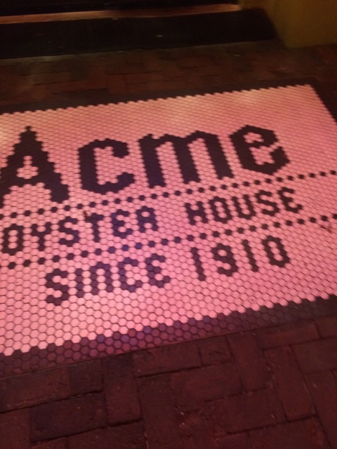
The Village is quaint collection of restaurants and stores.  Steaks, seafood, pizza, hamburgers, and mexican eateries.  We must have been early.  The only restaurant with more than a few patrons was the Acme Oyster House.  We ate where all the people were.  Pretty darn good.

17.50 - 5.50pm - Acme Oyster House Sandestin, FL 11-12-15

As the evening darkened, the Village streets were alive with light and more patrons.

IMG_4147

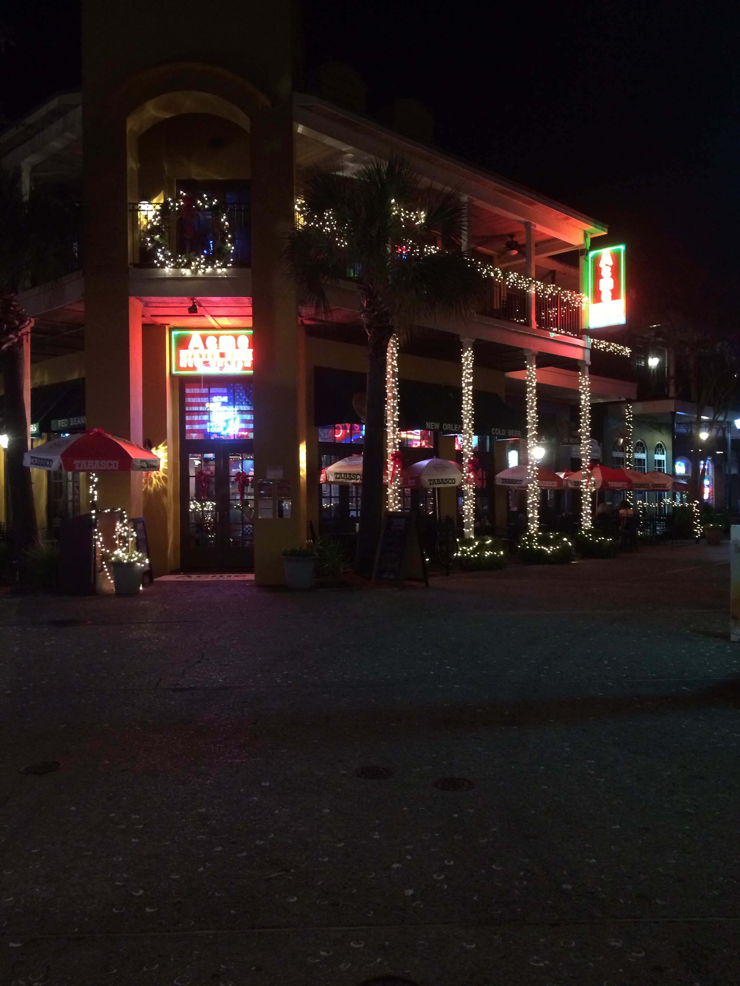
Street lights in the Village

That swampy smelling, dark wooden, go back in time walkway became a nice pleasant walk back to the marina.  I hadn’t noticed the lights before.  The path was well lit and seemed less menacing.  No strange swamp noises were heard.  🙂

IMG_4148

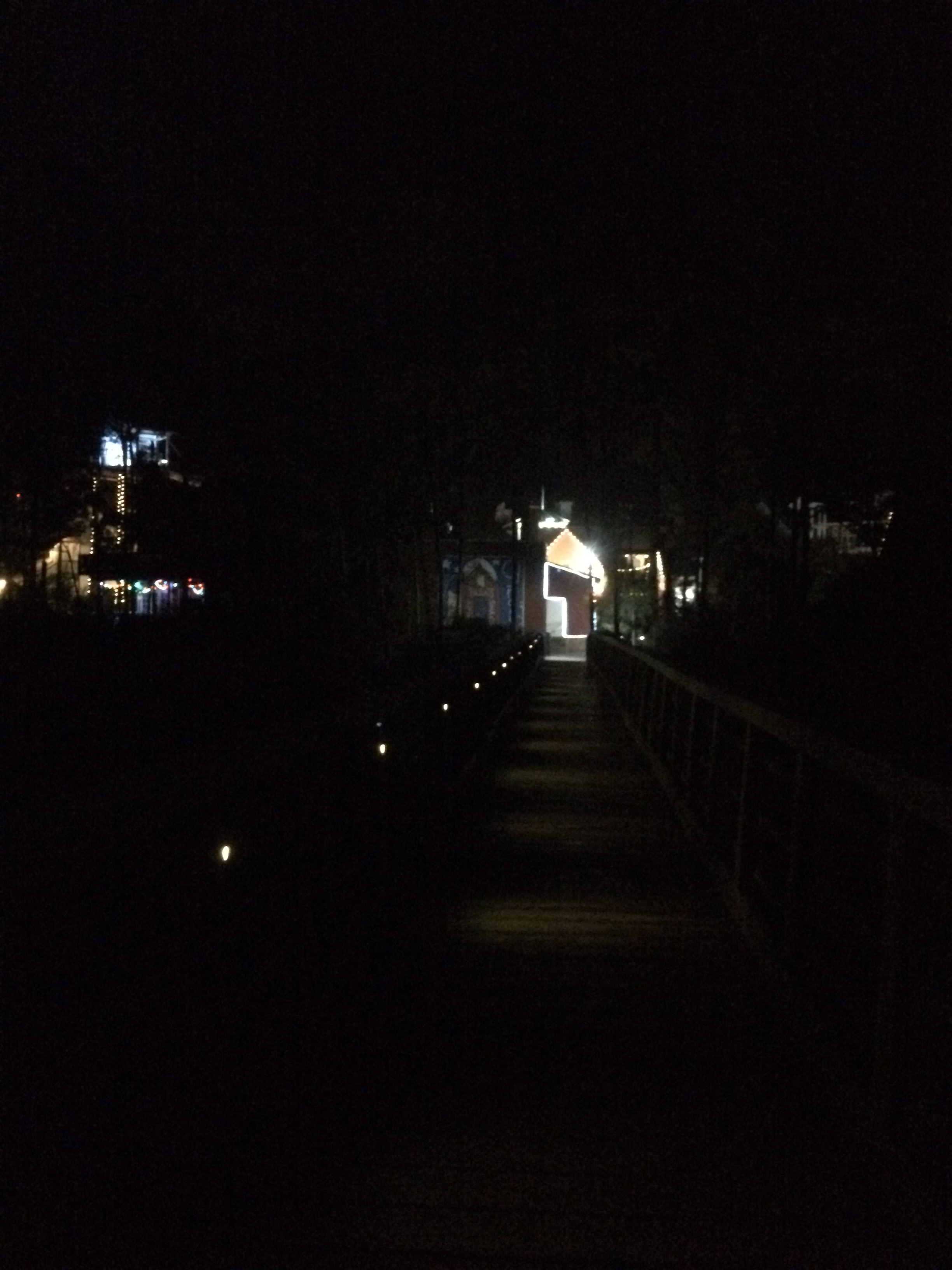
Well lit pathway back to the Baytowne Marina

Early to rise tomorrow!  Eastward, young people, eastward!!

Posted in Looping | 1 Comment

November 10, 2015 – From Mobile, AL to Pensacola, FL

Good Morning Cruisers!!  It is back on the water for us this morning.  We are so excited to be cruising again.  Will we remember how after being stationary for such a long time?  Wayne took to the helm like he has never left it.  We backed away from the dock, re-docked at the fuel dock to get a pump out, then backed away again to get on our way.  You might even call us “Old Pros” at this whole boating thing by now!  🙂

The day started late for us actually.  Cold, misty and gray.  Several boats were ahead of us at the fuel dock doing their thing.  By the time we left Dog River is was a very late 9:30am. We have generally liked to be on the water by 7-8am.  But misty, foggy conditions made us stay later.

9.46am Leaving dog river channel into mobile bay 11-10-15

Leaving Dog River and into the Mobile Bay Channel

We encountered less than a foot of water all across the bay.  We had expected a bit more waves and were pleasantly surprised on how flat the water was.  Perfect.

10.38am - crossing the Mobile Bay - flat water 11-10-15

Crossing Mobile Bay into Bon Secour Bay

I know you can’t tell much by this picture, but we are just entering the GIWW – Gulf Intracoastal Water Way – different notation so we know we are traveling along the Gulf Coast.

12.22pm - entering GIWW ICW 11-10-15

Entering GIWW – or ICW

Along the GIWW – ICW – are the water front homes we have come to expect.  Tall, stately, stilted, and many look empty.  Several areas with patel colored condos or vacation rentals. Not many boaters on the water.  We are always surprised by that.  We did see this one:

12.17 - 2.17pm Betsy Ann Riverboat 11-10-15

We passed the Betsy Ann Riverboat – isn’t it pretty?!!?

I can never tire of watching the Dolphins play in our wake.  Here is a few that followed us for a few minutes.

14.31 - 2.31pm - flat water inside the GIWW 11-10-15

Scenery within the GIWW –

15.01- 3.01pm - entering Florida 11-10-15

3pm – Entering Florida!!! -slightly out of focus since I was driving the boat – sorry

Looks like these fellows were putting in a red buoy.  We got a short wave from them as we passed.

15.10 - 3.10pm - Coast Guard vessel 11-10-15

Coast Guard Vessel hard at work

We forgot the time since we were having such a grand time on the water.  Before we knew it, sun down was fast approaching.  Can you believe it?  Sundown at 4:45pm.  That is just late afternoon!!  Not evening!  I know…I know…it is getting closer to that shortest day of the year.  I still find it too early for my sunset picture.  This is Central Time.

16.27 - 4.27pm - approaching Palafox Pier Marina Pensacola 11-10-15

Approaching Palafox Pier Marina in Pensacola, FL

16.55 - 4.55pm - Always Home at the dock - lighten - 11-10-15

Always Home at the dock – 5pm

16.49 - 4.29pm - sunset in Pensacola, FL 11-10-15

Sunset in Pensacola, FL

Right next to the Palafox Pier is a large construction site.  I didn’t pay too much attention until nighttime when the lights lit up the sky.  It looks like a rocket ship is being built.  Just based on the shape of the tall object.  Wayne thinks they are building an underwater structure-platform.  Hmmm it just looks curious.

20.43 - 8.43pm - looks like a rocket 11-10-15

Tall rocket ship ??


We went to bed early.  We are quickly going across the panhandle of Florida to get in position for our over-night crossing of the Gulf of Mexico.  More on that later.

Probably not a rocket ship.  😉

Posted in Looping | 1 Comment

October 16 – November 9, 2015 – Time out in Mobile, Al

Good Morning Sports Fans!!  Did your favorite college team win this past weekend?  I distinctly remember hearing over and over again…  ROLL TIDE!!!!  At first I thought there must be a huge moon to cause an enormous tide that could roll over into the city?  Godzilla coming?  That just didn’t seem to fit everyone’s mood and angst over the recent game.  It must be about FootBall!!  Welcome to SEC football.

We have been in Mobile for several weeks visiting the fine city where Wayne was raised.  He remembered the city streets like the back of his hand.  Ok…maybe a few age spots got in the way. New roads were built in the last 30 years and names have changed.  He remembered the major streets and could find our way from the marina to his sibling’s house.  ( Yes, I had Google maps on just in case he took a wrong turn! )

Wayne’s siblings and ‘siblings-in-law’ are the best!  They were very helpful in making our Mobile visit productive and fun.  We split our time between all the family members as best as we could with our schedule.  Thanks Siblings!!  Ya’ll are the best!!

Most of our visit was doing that mundane thing every boat owner / home owner does.  Shopping.  Wash and fold laundry.  Wash the dishes.  Clean the toilets.  Get other boat chores done that were difficult to do with moving on the water.  Get a common cold from doing all that shopping in places with humans all around.

We all know that Mardi Gras began in Mobile before New Orleans took the concept over and made it their own.  Did you know that Mobile is the “rainiest city in the US”?  Mobile has gets over 5 feet of rain annually.  The 5 feet of rain seemed to come during our stay here.  It rained.  A lot!  Remnants of Hurricane Patricia came through and flooded parts of the marina, city streets, and knocked down a few trees.  The water drained off really fast as if the ground knew more would be coming.

14.23 - 2.23pm - rain off the back of the house B 10-26-15

Even the birds didn’t like the weather!

10.59am - birds on the pier - 10-25-15

No one flying today. They were all on the pier watching the waves come in

With rain, you get all sorts of things that grow in high humidity.  This fungi is actually rather pretty living 5 feet up the trunk of an old oak tree.

15.27 - 3.27pm - fungi on Oak tree C 10-25-15

Of course, that made me look into other backyards.  These I call my ‘mushroom nest’…

Nest of Mushrooms 10-27-15

Appearing overnight in a small cluster of pine needles

Nest of Mushrooms day 2 10-28-15

The next day after even more rain

Mushroom nest in Terrys yard 10-30-15

Day 4 of the Nest

I didn’t take a picture of the Nest dead after only a 6 days.  Such is life as a backyard fungi.

We had fog and hazy days.

Hazy morning 11-02-15

Hazy Morning

Fog - out our back door 11-02-15

Fog looking up the Dog River

It didn’t rain everyday while in Mobile.  I remember blue skies.  I even took a picture of downtown Mobile on such a day.

Downtown Mobile 11-04-15

This is just fun.  We saw this small gatherings of ducks.  One just seems different than the rest?!

White duck 11-08-15

Which one doesn’t belong?

I saw an occasional jelly fish swim by the boat.

9.17am - jelly fish dog river marina 10-17-15

Interesting lighting for this picture – the tentacles are really apparent

As chores get done and the rain looks like it might stop for a couple of days, it is time to get back on the water and cruise to Florida.  Onward to Pensacola!!

Wait!!  We were also very privileged to celebrate with a Looper crossing their wake in Mobile and become “Gold Loopers!!”  Congrats to the crew of Nearly Perfect!  We have really missed our friends up the river who have also completed their loop and become “Goldies”.  Sea Horse, Bama Dream, Penny Pinchin’, and Aunt Aggie.  So many others.

18.40 - 6.40pm - sunset at Dog River 10-16-15

Sunset at Dog River Marina, Mobile, AL

PS.  We also were able to celebrate in Daylight Saving time change – again.  Now sunset is at 4:30pm.  How can that be?  That is just afternoon.  Not time time!!!

Posted in Looping | 1 Comment

October 15, 2015 – Sunshine Cutoff Anchorage to Mobile, Alabama

Good morning Alligator Hunters!!  Did you spy any alligators last night?  We did not.  We were asleep!  hahaha  That means there may have been visitors during the night.  They just didn’t knock on the door.

We were up early and ready to hit the waterway by 7am.

6.26am - early morning at the Sunflower Cutoff Anchorage 10-15-15

Early morning at the Sunflower Cutoff Anchorage

It looked like a great morning.  A bit of that early morning mist rising from the water.

DSC_1908 8.10am Sunflower in the fog 10-14-15 copy

Always Home in the morning mist – courtesy of the crew from Lorelei IV

We did hit heavy fog intermittently.  Weird that the fog would come and go until you look at the map below.  See the horse shoe curves?  We traveled around the corners and met at the heavy fog locations in these straight spots between the curves.  Makes sense.  Miles and miles of twists and turns.

Fog Curve

Fog Curve!!

By 8:30am the sun burned off the fog.  Our goal is to make Mobile by night fall.  79 miles to downtown Mobile and another 6 miles to Dog River.  85 mile day.  Doable.  No locks to contend with.  Just tows, bridges and boat congestion in the downtown area.

Sunflower to Mobile

Sunflower to Mobile, Alabama

9.30am - white herons hanging out 10-15-15

White spots are herons

10.19am - Alabama Cutoff - 10-15-15

Alabama Cutoff Anchorage – looks quiet

13.58 - 1.58pm - scenery 10-15-15

Black Warrior Tombigbee Waterway Scenery

14.46 - 2.46pm - scenery 10-15-15

Look at the blue cloudless skies! Gorgeous day!

As we have experienced before, the Black Warrior-Tombigbee Waterway is joined with other rivers.  The name changes on the charts.  Black Warrior becomes Mobile River.

11.06am - alabama river junction & Mobile River B 10-15-15

Alabama River junction with Mobile River

15.08 - 3.08pm - I-10 Bridge entering Mobile Bay 10-15-15

1-10 Bridge over Mobile River

By mid afternoon we were finally approaching mile 0 at downtown Mobile, AL.  We expect a great deal of activity as indicated by all the cruising guides.  We are watchful of the tows, freighters, and barges.

15.10 - 3.10pm - barges in Mobile River 10-15-15

Barges in Mobile River

We saw a few freighters along the water’s edge.  A few more interesting boats as well.

15.20 - 3.20pm - cemtex innovation again 10-15-15

Cemtex Innovation

15.30 - 3.30pm - Austal new ships- high speed military craft 40 knots 10-15-15

Austal New High Speed military craft protype

15.26 - 3.26pm - downtown Mobile skyline 10-15-15

Downtown Mobile skyline

15.30 - always home enters Mobile -DSC_0179 - Into downtown Mobile 10-15-15 copy

Always Home enters Mobile Bay – courtesy of the Lorelei IV crew

15.33 - 3.33pm - USS Brunswick 10-15-15

USS Brunswick

15.45 - 3.45pm - old navy vessel turned lab 10-15-15

USS Shadwell – 1944 – 1988 Serving as a research vessel on Little Sand Island in Mobile Bay

15.40 - 3.40pm - loading a ship B 10-15-15

Loading/unloading a freighter –

It is always a surprise to see debris in the river.  Large debris.  We had no problems going around this one.

15.31 - 3.31pm - debris in the water 10-15-15

log in the water

Before we knew it, we were out of the congestion and into Mobile Bay!  About 1 foot waves.  Not too bad.  The wind was picking up and we will need to stay closely within the channel markers to have the deeper water under our keel.  Otherwise, on either side of the suggested channel, the water shallows to less than a foot in many places.

16.15 - 4.15pm - 1 foot seas in Mobile Bay 10-15-15

Mobile Bay

Afternoon sentinel keeping an eye on the bay.

16.36 - 4.36pm - pelican on sign in Mobile Bay 10-15-15

We had a very long day.  Glad to be safely docked at the Dog River Marina.  We will be here for several days to rest up from our travels down the rivers,  for performing boat chores and visiting family.

18.50 - 6.50pm - sunset at Dog River Marina

Sunset at Dog River Marina

Posted in Looping | 2 Comments

October 14, 2015 – Bashi Creek Anchorage to Sunflower Cutoff Anchorage, Al

Good Morning!!  We had a noisy night at our anchorage – crickets, cicadas, and birds kept us awake for seconds!  We didn’t feel or hear any other tows passing in front of us during the night.  A nice anchorage to be sure.

7.31am - leaving Bashi Creek Anchor 10-14-15

Leaving Bashi Creek

7.32am - morning on the river 10-14-15

Early morning on the Black Warrior-Tombigbee Waterway

The mist turned to FOG briefly.

7.46am - fog!! 10-14-15

Wayne enthusiastically communicated for me to stop taking pictures and keep a look out for the Lorelie IV ahead of us and any tows.  Fine.  I put my camera down till …

8.28am - morning scenery 10-14-15

Less than a hour later –

9.38am - reflections 10-14-15

Reflections on the still river water

8.29am - Morning Scenery 10-14-15

Bobby’s Fish Camp is actually the last place you can get fuel until you get to Mobile.  It isn’t a ‘marina’ but 150 feet of dock you can tie up to.   We kept on going southward.  Beautiful setting.

10.27am - Bobby's Fish Camp 10-14-15

Bobby’s Fish Camp

As we approached our last lock going south on the rivers, you can see a Y with a nice little island in the middle.  Take the waterway to the right.  It doesn’t look it from here, but the left lane goes to the dam!  It just looks so calm.  Glad we have our chart plotter that lets us know which way to go!

11.04am - to the right to Coffeeville lock 10-14-15

Approaching Coffeeville Lock – going down 34 feet

11.11am - tow coming out. approaching Coffeeville lock 10-14-15

A tow is coming out. We are ready to go in!

11.14am - tow going north out of Coffeeville lock 10-14-15

Tow going north out of the Coffeeville Lock

A small boat joined us in the lock.  They moved over to the huge ruler inside of the lock wall.  As we went down, they washed off the ruler.  How clever.

11.23am - cleaning the ruler within the Coffeeville lock 10-14-15

Cleaning the water level marker within the Coffeeville lock

11.32am - workers waiting for Coffeeville lock to open 10-14-15

All done!!

11.36am - white heron on the floating bollard 10-14-15

White heron on the floating bollard

11.37am - leaving our last lock 10-14-15

Leaving Coffeeville Lock

We were on the lookout for live alligators ever since I heard they lived along the waterway.

12.28pm - scenery 10-14-15

Is there an alligator other there?

The fantastic crew of the Lorelei IV have keen eyes and quick reflexes to capture at least 2 alligators sunning themselves on the sandy beaches.  The trawler ahead of us, the Lorelei IV, stirred up the water and the alligator silently slid into the water.

DSC_0059 - asleep on the river bank - alligator 10-14-15 copy

Courtesy of the Lorelei IV

By the time we cruised by, this is all we saw…

13.45 - 1.45pm - alligator into the water 10-14-15

Alligator already back under the water

Thank you to the crew of the Lorelie IV for providing us with photos of the alligator as they saw it.  Outstanding pictures!!  These are their pictures.

DSC_0077 alligator awakened by the waves - 10-14-15 copy

Alligator awakened by the waves

DSC_0092 - alligator waves 10-14-15 copy

DSC_0095 - alligator waves 10-14-15 copy

DSC_0097 - alligator waves 10-14-15 copy

DSC_0099 - alligator waves 10-14-15 copy

DSC_0101 - alligator waves 10-14-15 copy

Great photographs of our friendly alligator moving back into the water.  Thank you Lorelei IV.  

16.42 - 4.42pm - anchorage ?? 10-14-15

Anchorage opposite the Sunflower Cutoff at MM 78.8

We kept a lookout for any strange water creatures along the sandy beach by our anchorage.  None seen.  We had plenty of water along this sandy beach.  The tows can see us as they round the bend north and south of us.

18.30 - 6.30pm - looking for eyes at anchorage 10-14-15

Looking for anything strange along the river bank…

DSC_0105- at anchor at Sunflower Anchor 10-15-15 copy

At Sunflower Cutoff Anchorage – courtesy of Lorelei IV

Only two tows passed us during the night that we know of.  If there were more, they crept by slowly and didn’t interrupt our sleep.  Another calm and peaceful night.

18.02 - 6.02pm - dark - evening at anchorage 10-14-15

Evening at the Sunflower Cutoff Anchorage


Posted in Looping | 1 Comment