Good Morning, Loopers and Cruisers!!
Gulf of Mexico – Here we come!! We were up early to get the last minute preparations done before hitting the water. We didn’t sleep as well as we expected probably because of anticipation and excitement. Wayne was thinking about all the things that had to be done before we left the dock. I was thinking about the long journey – overnighter – that we hadn’t done in a long long time. Did I copy enough music and interviews on my iPod to last the night? Will the interviews be strange enough to keep us awake and alert? Will the music have that “keep me awake at all hours” beat? You know… preparations for an all-nighter. Snack food is a given. Caffeinated drinks is a given. They are the easy preparations, actually. We are ready! Let’s go!!
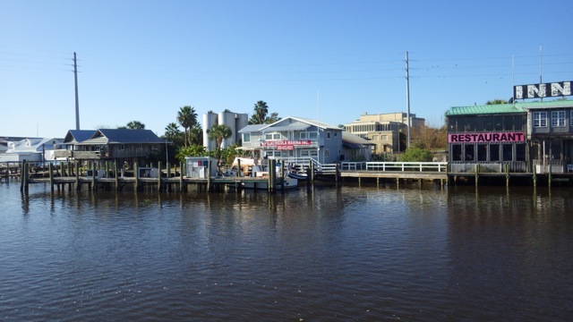
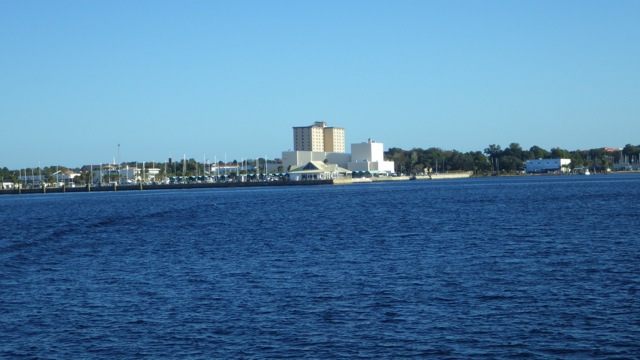
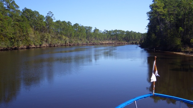
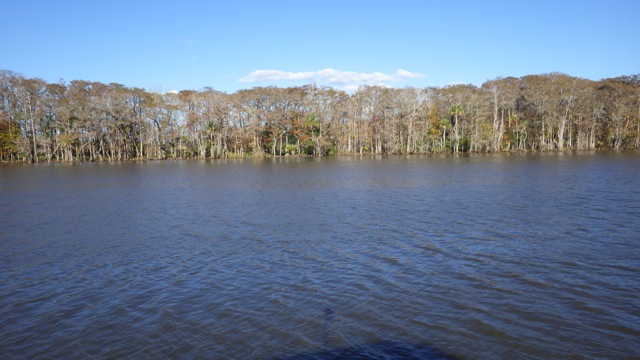
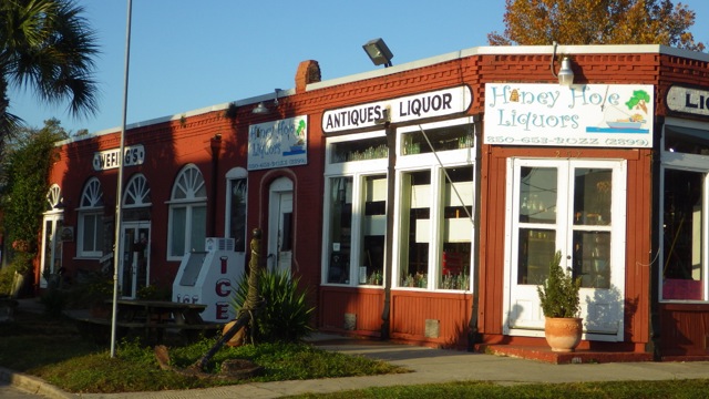
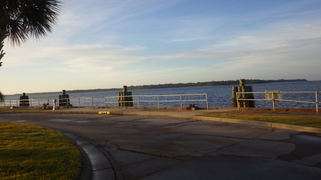
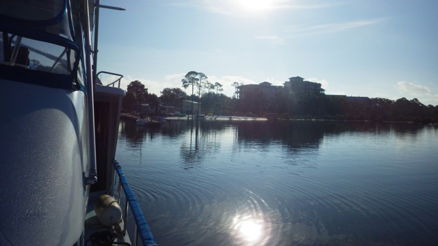
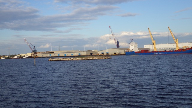
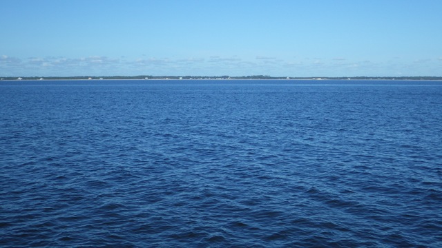
Leaving Apalachicola Marina
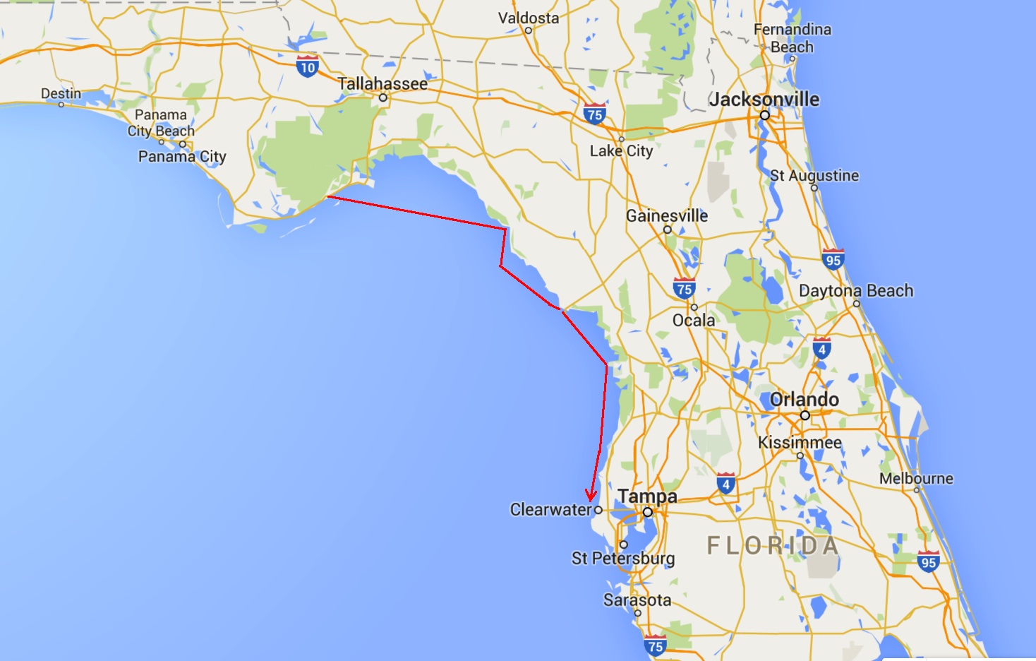
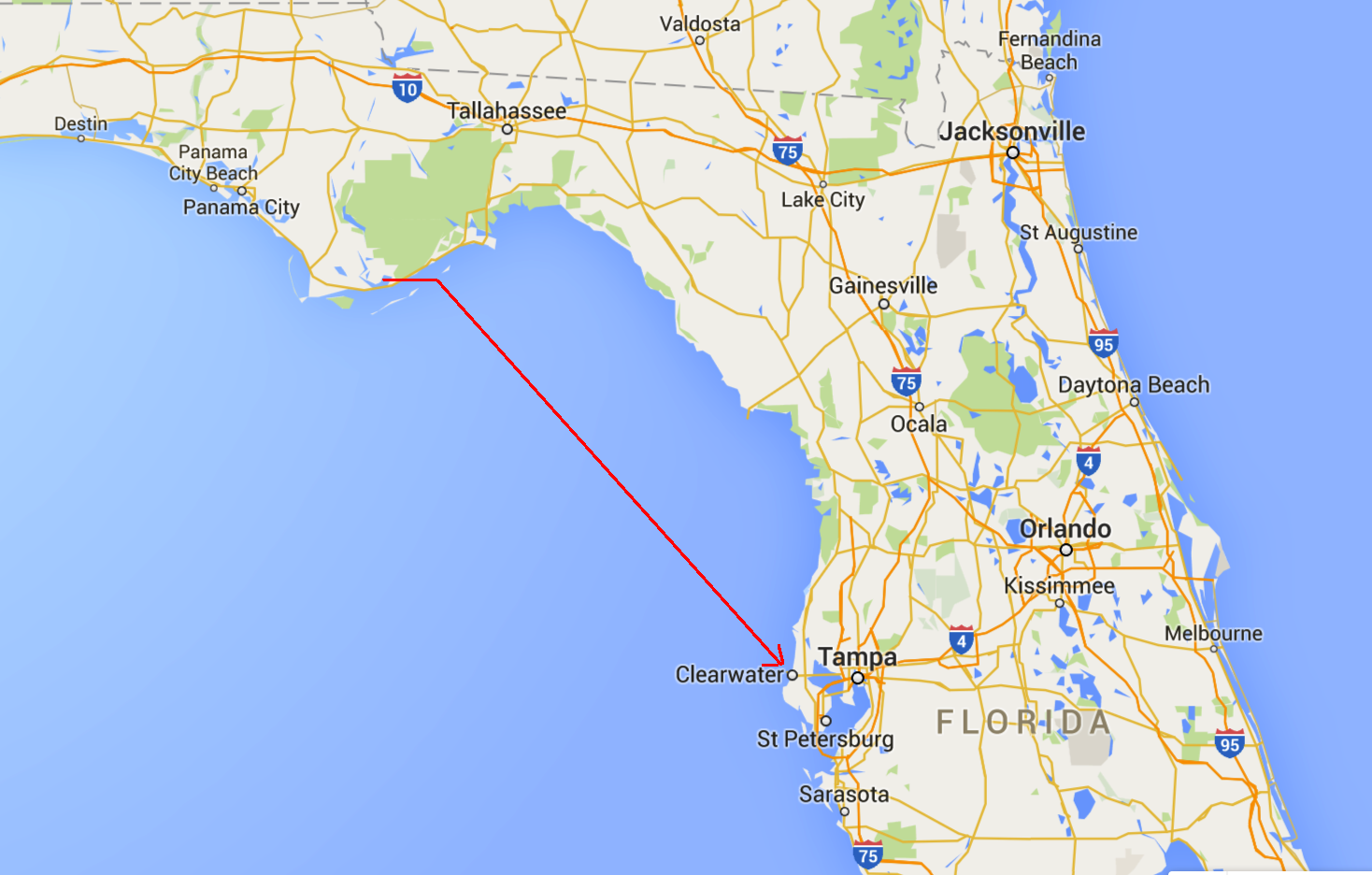
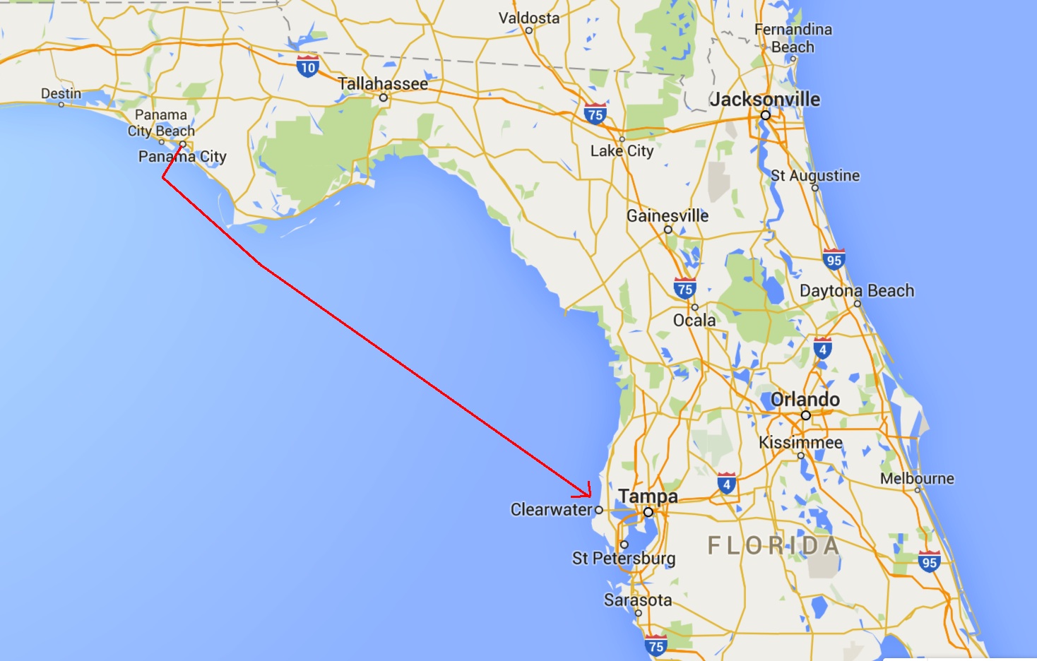
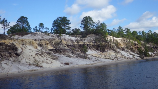
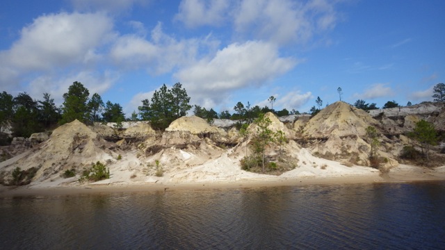
Here is a small map of the area as we leave Apalachicola. We will be cruising eastward toward “East Pass” between St. George Island and Dog Island. There is another pass that we were thinking about going through from Apalachicola Bay to the Gulf – The Government Cut. The rumors we heard was the Government Cut was deep because the shrimp boats go through there all the time. The approach would be the problem. The water gets shallow and sandy bottom is constantly changing. We opted to go the long way around and go through the “East Pass”. As far as we know, there is no problem with water depth going that way. Easy Peasy!
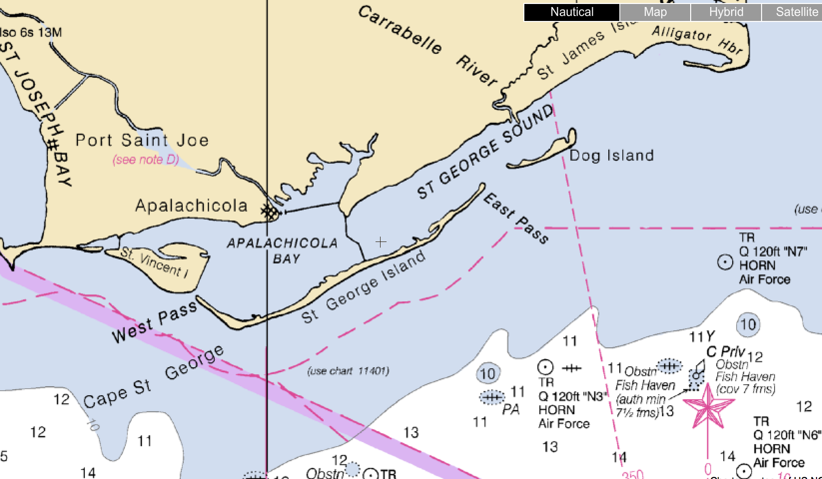
NOTE: See those numbers in the white portion of the chart above? 11, 12, 14, kind of numbers? They are not feet. When we were out into that deeper water, we saw 70 -80 feet. What gives? Checking the charts, we found the units were in Fathoms. Which is 6 feet. So 12 x 6 = 72 feet. About right. We thought 12 feet was too shallow for the Gulf. Ooops. Things to remember…check the units of measure!
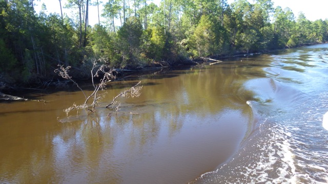
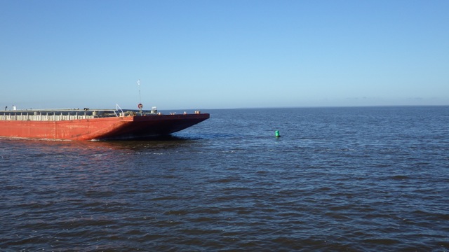
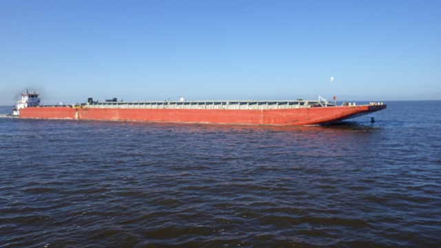
Upon entering the Apalachicola Bay, we met with a large tow and barge we hadn’t seen since the Rivers. It was cruising right along and finally made its 90° turn toward us in the ICW preferred channel. It looked huge!! It looks like it is making a bee-line right toward us. We increased our speed to get out of its way!
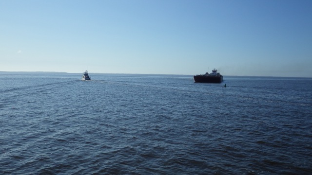
Tow making its turn toward us after leaving Apalachicola
We watched the tow approach the Green marker. It looked like it was going to run it over! By the way, the channel was rather shallow around this turn. We were in maybe 7 feet water giving us very little room to move out of the Tow’s way and not hit aground. The tow did run over the marker! It popped right back up after the tow got past it. Glad everything worked out for all of us and the marker! There is another Looper behind us and they will need that marker to stay in the channel.
The water looks pretty good. Not flat as a pancake, but very low wave action. I would estimate less than a foot. Nearly perfect cruising conditions. 56°F, sunny, and clear!
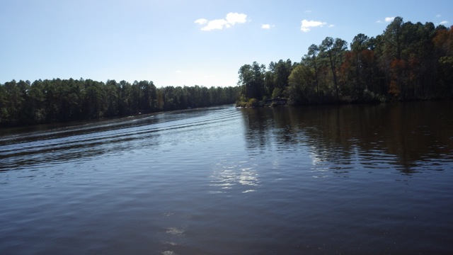
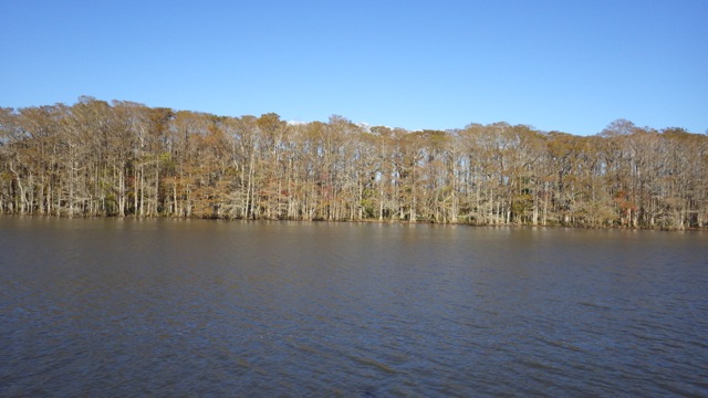
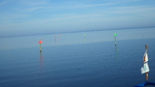
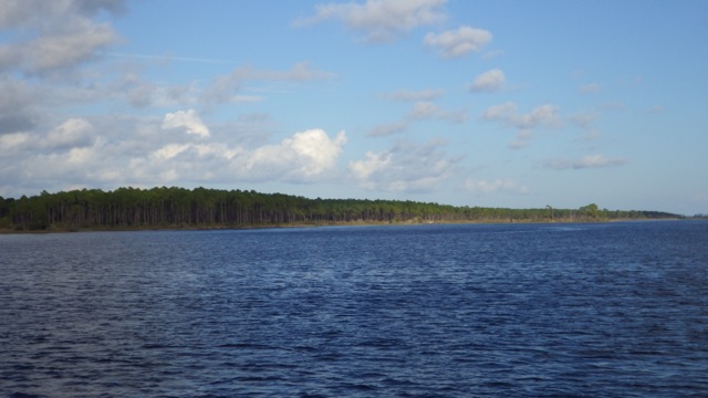
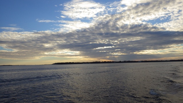
Entering East Pass toward the Gulf of Mexico
12:45pm Entering the Gulf of Mexico!! Nov. 29, 2015

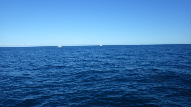
On our way across the Big Bend with 2 other Loopers in the lead
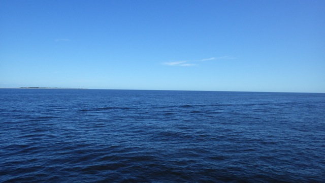
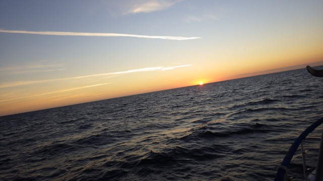
Gulf of Mexico – view along the way
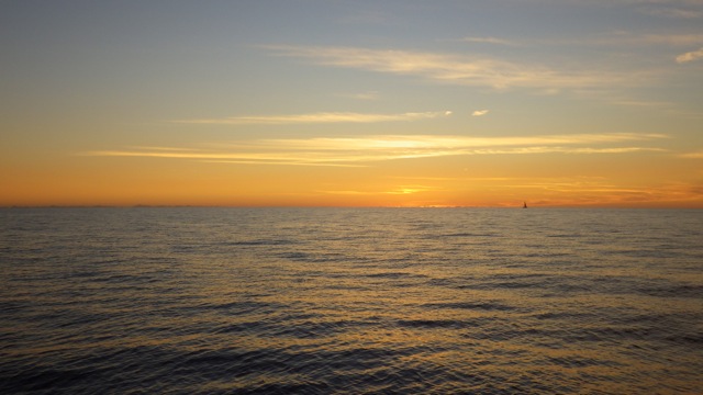
Sunset on the Gulf of Mexico
Our chart plotter has a night-time screen option. Certainly will come in handy during our overnighter. As night fell, we got our red lights out. Always Home doesn’t have red night-time lighting. Who cruises at night? Normally, we wouldn’t even think about it! We read that to save your night vision you need red lights. We found a string of red LED Christmas lights and a couple of light bulbs. We hung the light string above the helm. The light bulbs went into light fixtures in the saloon and back enclosure area. I don’t know what we looked like in the water from a distance, but it certainly worked for us.
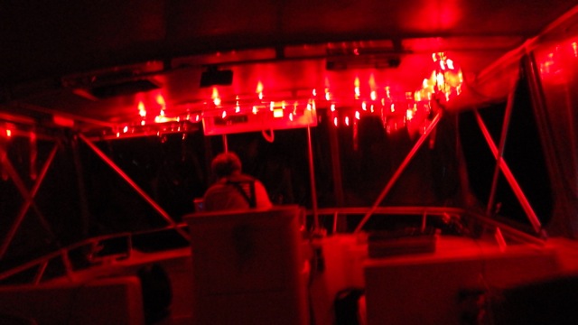
Red Christmas lights for our helm area – Wayne manning the helm
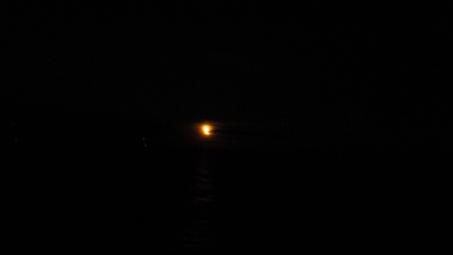
Moon rising just above the horizon
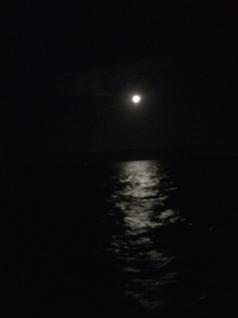
10:30pm Moon Reflections on the Gulf of Mexico waters
The night passed as boring as it is always hoped it to be. During the night we kept our eye out for the other boats traveling with us. We saw a couple more boat lights in the distance. The two Loopers started angling for Tarpon Springs, north of Clearwater just after midnight. We were on our path to Clearwater. The distance between us increased but we could still see each other and contact between the boaters was made during the night.
We went from smooth to lumpy water. That means the boat intermittently went up and down, side to side. Then we had smooth again. The wave action wasn’t so bad that we couldn’t walk around the boat. We did. Just really carefully. It would be called the boat dance. Walking between the waves. Yes, every tenth wave was a bit higher than the preceding nine. Yes, I had plenty of time to count. Sometimes, we had 2 high waves in a row. I lost my count and had to start over again. 😉 That is how you stay awake past midnight!
We were steering southeast all night. Jupiter made an excellent ‘star’ to focus on. Straight ahead in the night sky.
I took these dawn pictures and had no idea they weren’t straight until I posted them here. You can see the rollers. What would you say? 1.5 feet? Less than 2 feet was predicted. They were correct! Wayne would argue that these were higher than 2 feet, though.
7.04am – sunrise on the Gulf of Mexico 11-30-15

7.06am – sunrise on the Gulf of Mexico 11-30-15
After Jupiter and Mars rising in the eastern sky, came our Sun! It was quite blinding and we were glad we were still out in the Gulf. As we approached the coast line, we were expected to start seeing Crab Pot buoys. About 10 miles out, we saw our first of many crab pot markers. I call them “daubers”, for short. I blogged about them months ago.
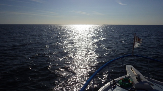
9.25am – sun reflections on the Gulf of Mexico
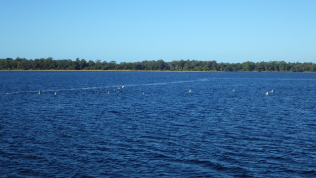
Is that the city on the horizon?? Can you see the daubers? We could barely. I ended up standing and staring into the sunny reflections for any round thing in the water. Luckily most of the crab pots were our of our cruising heading.
That is civilization!! Clearwater in the horizon!
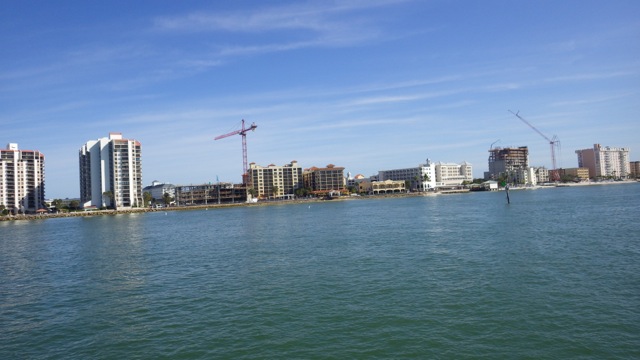
10:30am Approaching Clearwater, Florida
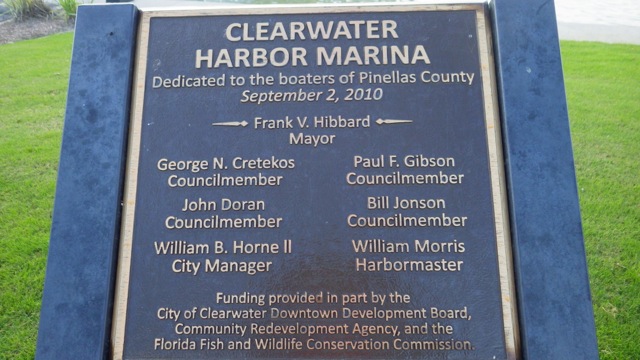
We docked. We had lunch and a couple of beers in celebration of surviving the night. We napped. Then we checked in. The Clearwater Downtown Harbor Marina staff were busy helping other boaters arrive behind us. Everyone exhausted and glad that trip was over.
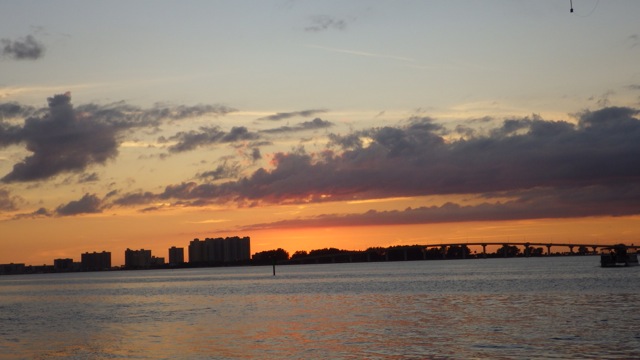
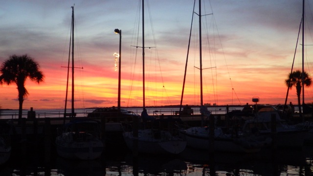
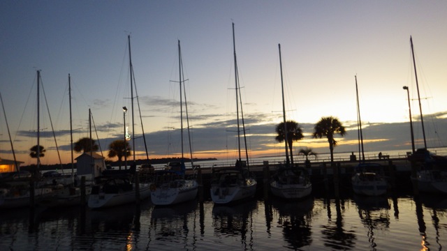
Sunset in Clearwater, Florida