January 9, 2015 – Stuart, FL – Loggerhead Marina

The wind was a bit fierce overnight with winds 10mph and gusts up to 22mph but we didn’t feel too much in our protected marina.  We found calm waters in the morning.  Compare this picture with the yesterday’s picture of the marina.  Waters are very calm!  Wayne backed us up, turned us around and we were off to the next destination.

8.55am leaving River Forest with sign

Leaving River Forest Marina

We wanted calm waters because we have one more lock to go through in Florida.  Why not try something entirely different.  Right?

9.02am calm waters ahead

Calm Waters on the St Lucie Canal

9.02 calm waters behind us

Calm Waters behind us.

Here it is!!  St Lucie Lock:

9.09am St Lucie lock sign

St. Lucie Lock sign

This lock looks different than the others.  More metal and less concrete.  The lock master provided the lines as before.  Not all locks do that, as we are told.  Sometimes we have to use our own lines (ropes) to hold on to the wall.  We also changed things up this time.

9.17am lock walls - metal and concrete

Lock walls – metal and concrete

I grabbed on to the line at the bow and cleated it quickly.  I walked quickly to the rear of the boat (stern) and grabbed a line.  Wayne left the bridge and went to the front (bow) so he could see what was going on.  This gives Wayne the ‘heads up’ he can let go of the bow line, climb back up to the fly bridge and get the boat ready to move forward out of the lock.  Seemed to work better.  The lock master told us we were going down to the river level.  What?  I am getting shorter?  Just how short am I going to get? 17 feet shorter.  Do you see the water lines level lines?  Yep…water line is very evident.  I counted the steps I saw along the wall and 17 was the count.  How fascinating!

9.21am lock doors beginning to open

lock doors beginning to open

9.24am lock doors opening

Lock doors opening

Every lock should be this calm!!  The lock master also told Wayne we had a manatee go through the lock with us. “It has a damaged fin so please be careful going out of the lock, Captain” said the Lock Master.  We didn’t see it.

9.26 am Leaving St Lucie Lock

Leaving St Lucie Lock – do you see the Manatee?


As we have seen along this waterway, lots of fine looking house.  This one stood out because workers were finishing up on the exterior.  Notice the painted rails on the lawn as if they were drying in the sunlight waiting to be put on the second story?

9.50 house being built

House being built, not yet complete


Right up the waterway and we go under a couple rather tall bridges.  55 feet clearance.  No need to duck!  Wayne says you know when you are on the east coast of FL.  I-75 is on the west side.  I-95 is on the east side.  Just how do those facts stay lodged in his brain?  Check it out.  He is right!

9.34am sign under I-95 sign

I-95 Overhead

Old Roosevelt 9 foot bridge loomed up ahead.  We waited a few minutes for another tall fishing boat to go through the opening with us.  Actually, in this picture you can see 3 bridges.  The Old Roosevelt 9ft bridge (blue), the Britt Point rail road bridge (brown raised structure), and the new Roosevelt Bridge with its 65 ft clearance in the far background.

10.28 am Bridge opening for us

3 Bridges

Finally, the last corner to negotiate and we are at our destination for the next several days.

sunset 5.35pm Loggerhead marina

Sunset at Stuart, FL

A good day on the river today. A short day compared to some.  Only 10 nautical miles or so.  Smooth and calm.  The next several days will be rough and windy.  For now, everything is still calm.  City lights from our back deck of Highway 1.

Evening lights along highway

Evening lights along the Highway 1 over the St Lucie River


Posted in Looping | 2 Comments

January 8, 2015 – River Forest Marina, Stuart, FL

We had to leave Indiantown Marina first thing in the morning.  Apparently, the marina needed us to move because they were having a boat launch at 8am.  We were parked right in front of that location, didn’t you know.  Since we had to move and there was no more space in the marina, we moved to the next available marina, River Forest Marina just up the road.  We were concerned about the expected high winds overnight and wanted to settle in before the wind got too bad.

The cold front arrived during the night.  It was a bit cooler this morning.  52°F.  We put our gloves and knit caps on.

Leaving Indiantown Marina Jan 8 2015

Leaving Indiantown Marina

Indiantown Railroad swing bridge is open.  No waiting!

7.54am railroad swing bridge open

Indiantown Swing Bridge


Only one other boat on the St. Lucie Canal with us.  Nice calm waters.  We saw some very nice homes along the way…

8.49am nice house

Nice house along the river

8.49am nice house with colorful chairs

Love the colorful chairs on the back patio


Our first barge!!  It was going in the west.  It looked so threatening because it is so big.  At first we thought it was an obstruction.  Like a 4 poster bed coming at us.  All I saw were the uprights with a little white thing behind it.  It was in the middle of the channel and we were wondering what to do.  The canal looked a bit shallow on our side so we slowed down and let this behemoth pass.

8.36am barge as it passes..

Our first barge!


He didn’t have to give us a toot signal that means…move over idiot!!  We had moved as far as we dared.  We got the thumbs up and a wave from the barge driver.  Awesome!!

Short day trip today.  We arrived early, docked, and rested for the rest of the day.


River Forest sign out front

River Forest sign out front


Always Home at River Forest Jan 8 2015

Always Home at River Forest Jan 8 2015


Posted in Looping | Leave a comment

January 7, 2015 – Across Lake Okeechobee!

A beautiful morning greets us in Moore Haven, FL.  65°F

good morning Moore Haven

Good Morning Moore Haven, FL

We left Moore Haven just before 8am.  We enjoyed this wooden dock.  We were able to step right off our boat to the landing without deploying the ladder.  The only remaining boats are the three boats that were planning to stay a second night.  All the other boats left the docks before sun up. We thought we were late.  Looks like a beautiful morning on the river.

looking back at Moore Have 7.54am

Looking back at Moore Haven City Docks

I guess we should have left earlier from what happened next.  The first bridge we encountered was this rail road bridge.  The bridge is normally open unless a train is going by.  So far, this is the first rail road bridge actually closed.  The train only took 15 minutes to cross the river.

train crossing the bridge

A train passing on the Rail Road Bridge

The swing bridge was supposed to open after the train passed.  Right?  The swing bridge didn’t open!  We waited rather patiently for almost 30 minutes before starting to make some phone calls to find out why the swing bridge hadn’t reopened.  It looked like it was stuck.  Moore Haven Lock sent someone to check the rail road bridge and he opened it for us.  It was an hour before we actually left Moore Haven City.  That was interesting.

Right after the rail road bridge is the Moore Haven Lock.  We were hopeful this lock would be easier than the last one!  We were the only boat in the lock.

door opening 9.25 am

Moore Haven Locks opening

Travel in the lock went pretty well.   We grew taller again!  At least another 5 feet.  Isn’t that exciting?!

leaving Moore Haven lock

Leaving Moore Haven Lock

We clung to the wall on the starboard side.  See, we are learning already.

Sometimes it is nice to look behind you to see if anyone is following along.  Any “go fast boat” that might cause us any trouble?  Nope.  All clear.

behind us view

Where we have been

Just like driving along a motor highway, you have…

along the side of the waterway

To the right is grass median

swamp to the left of us 9.58am

To the left is swamp!


Construction ahead.  It looks like it is taking up half of the waterway.  We slowed to a crawl to safely go by this huge obstruction.  It is reported that there is shoaling and very skinny water around this construction.  Skinny water means shallow water, I think. Another term to add to my new language list.  Wayne had to drive between the tall metal structure, orange mooring balls on the left and skinny water.   It looks like we can barely go through the opening.

Construction – beware

Yea, we made it.  Slow and careful!  Piece of cake.

after the construction

The construction behind us.

You do see a seagull following us?  This one had been following long enough for me to give her a name.  Gertrude?

We approached a “Y”.  One way to a short cut to the Okeechobee but is not recommended to use.  We chose the waterway to the right toward Clewiston, FL.

right or left...y -

Decisions – Decisions – The road taken


We turned at the sign as we approached Clewiston.  Just like on the road, they have places to eat, sleep, and anchor!  Those big things in the air are turkey vultures.  Wonder what they found so interesting.  Maybe I really don’t want to know.

clewiston sign

Clewiston ahead


This is the Okeechobee Waterway.  We were halfway across the total voyage from Fort Myers to Stuart.  The alternative would have been to go around the southern tip of Florida in the Gulf of Mexico.  We decided to sail the route across the Lake.  For an interactive Lake Okeechobee map go to the link.  (http://w3.saj.usace.army.mil/h2o/images/webcams/owwmap.pdf )

Lake Okeechobee

Lake Okeechobee Waterway

We had arrived just outside of Clewiston, FL which is the staging point to start across Lake Okeechobee.   The Corp of Engineers monitor the lake levels.  We will be taking Route 1 across the lake.  39 miles across the lake.  Route 2 or the Rim Route is the alternative.  The water depth on the Rim Route has 6 feet of water and lots of skinny waters.  It is recommended for our sized boat to take Route 1.  Today there is over 9 feet of water all across the lake.  Pretty good depth for us.

horizon at 11.27 crossign the O - land

Entering Lake Okeechobee

We were told that once you get on the lake, we wouldn’t be able to see land.  We saw land all the way across.  Comforting, actually.  It was in the distance, but we could still see land.

horizon at 11.17 - land

Horizon – land!!

We saw only one small sail boat.  Otherwise, we had the Okeechobee all to ourselves.  The most marvelous sight was the birds following in our wake.  It was as if they were coasting in our airstream.  We had heard that the seagulls like to follow boats so they can feed off the guppies brought up by our wake.  I didn’t see many birds land and feed.  Over a dozen birds followed our boat all the way across the lake.   Mostly just follow along…

I am not sure if you notice the land close by out the back door.  Obviously, this was shot shortly after entering the Okeechobee.  Waves were 1 – 2 feet.  That didn’t sound too bad.  Especially since the next few days after our crossing the waves were expected to be 6-7 feet high.  It was like between riding a bronco bull and walking in a fun house.  Several times I just sank abruptly to the bench so that I wouldn’t fall to the floor.  My legs got their workout.  Hey, maybe that is an idea for all you cross trainers out there.  Learn to stay standing during high seas!  Ok, we weren’t on high seas, but even low seas can give you quite the workout.

By early afternoon we made the crossing.  We knew we made it when we saw the Port Mayaka Lock!

Port Mayaka Lock at 1.22 pm

Entering Port Mayaka Lock

Our experience was a bit bumpy mainly due to our recent locking experience and trying to tie up too soon.  The lock master again lowered the lines from the wall.  We were rocking and rolling from the lake wind and waves.  Trying to get the lines and holding on to the side of the boat.  Whoa!!  Then the lock master closed the lock doors.  The waters calmed down and we easily handled the rest of the lock experience.  I can’t remember if I grew or shrunk this time.

The first thing I noticed as we entered St. Lucie Canal is flies.  We had several hitchhike with us.  These were the first flies we have seen in months.  How strange.  Remember I mentioned there were no flies bothering the street restaurant patrons in Downtown Sarasota?  These flies didn’t stay with us for long.  Thank goodness.

hitchiker FLY

Hitchhiker

Oh no!  Another Rail Road bridge up ahead.  Ugh…

Wait.  It is up!!  The Port Mayaca Rail Road Lift Bridge was up and we easily sailed under it.  A lift bridge rather than a swing bridge.  Looks fantastic, doesn’t it.  The wonders of transportation in America.

RR lift bridge- Indiantown rr bridge

Indiantown Rail Road Bridge


We tucked into Indiantown Marina in Indiantown, FL for the night.  It had been a very exciting day and we just didn’t think we needed to go further.  At 4pm it was time to call it a day.  Indiantown Marina is a small family owned marina.  Nice.

We had a very quiet night.  No sunset picture… I think I was already asleep.

Posted in Looping | 1 Comment

January 6, 2015 – Leaving Ft Myers onward to Moore Haven, FL

Only 49 nautical miles from Ft. Myers, FL to Moore Haven, FL.  Sounds like an easy day.  Right?  We had 2 locks to go through and several bridges to wait for.  Something new for us.  Locks.  More on that later.

leaving Legacy Harbor

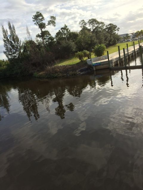
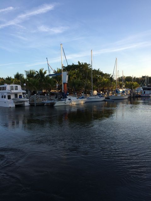
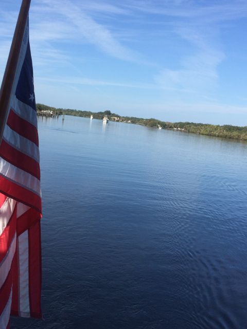
Leaving Legacy Harbor, Ft. Myers, FL


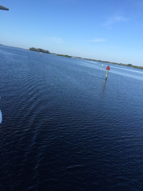
You can see some boats in the distance.  They are anchored out behind the small islands.

9.35 am clear saiing ahead

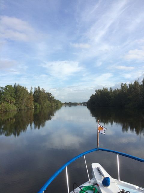
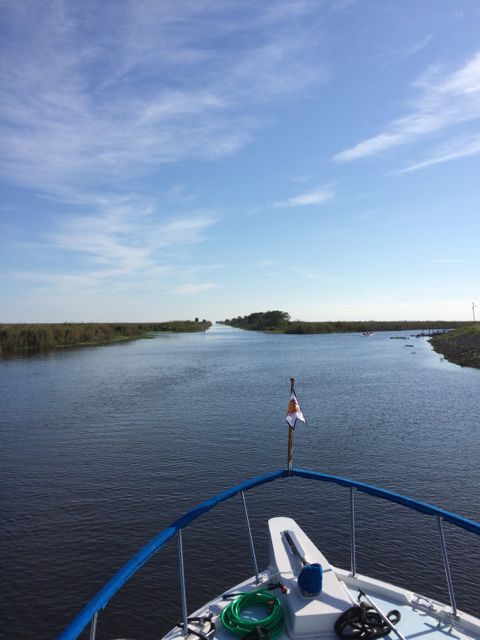
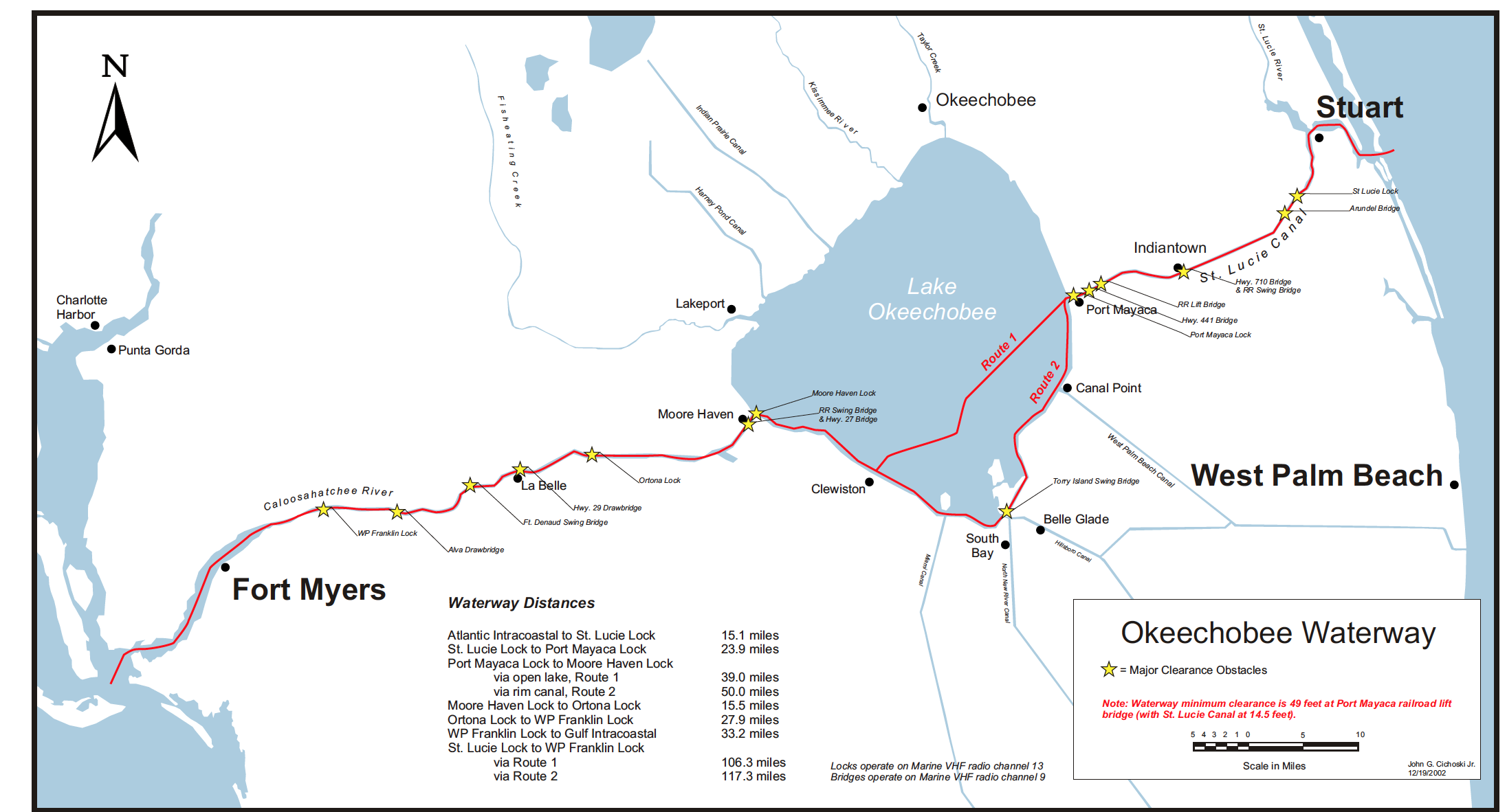
Clear sailing ahead!

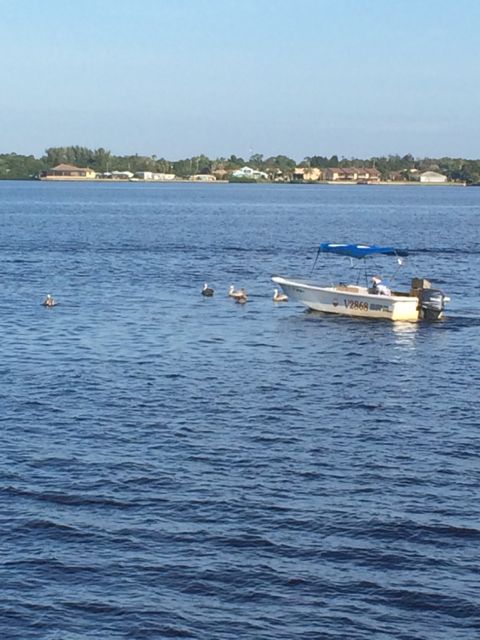
We saw a small group of pelicans surrounding this boat.  Apparently, the man was pulling fish out of his crab pots and gave the fish to the birds.  How lucky they were.  Easy pickings!!

9.20 crabber feeding pelicans

Crabber feeding pelicans

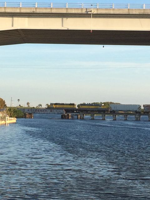
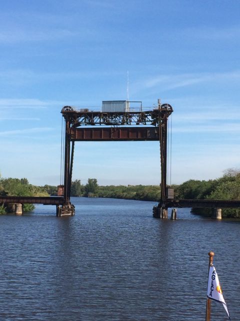
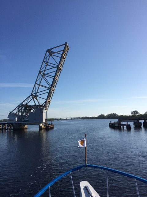
Our first of many bridges today. Beautiful Island Railroad Bridge has 9 foot of clearance.  It usually is open unless a train is coming.  Still, this means no delays here and easy sailing under.

9.41 railraod bridge open and we are going thru!

Beautiful Island Railroad Bridge is open!


The Power plant is possible manatee spotting area. Manatees like the warm waters coming out of the plant.  I looked and didn’t see any today.  Maybe the air was too cool and they were all under water.
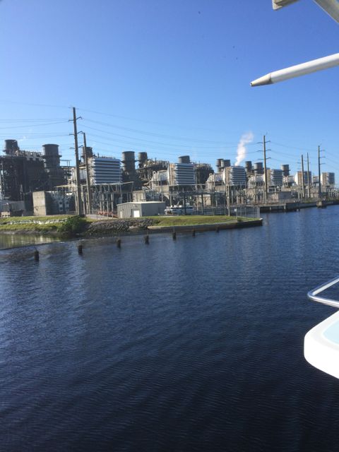
10.03 power plant - USE THIS ONE!!

Power Plant


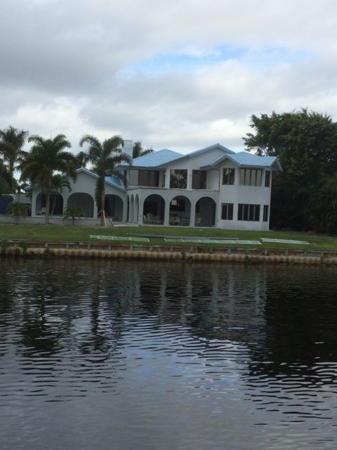
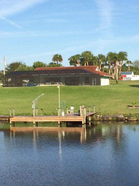
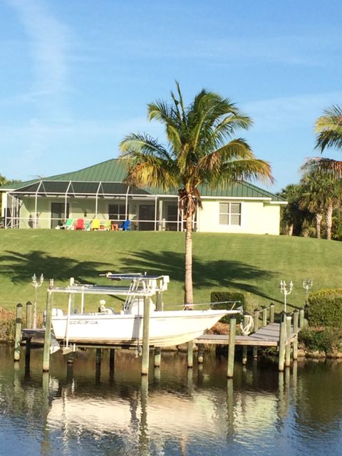
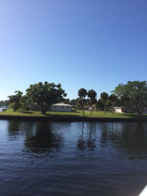
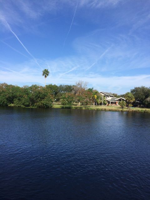
Lovely Florida home along the river bank.  It looks so close to the river.

10.18 house along the way

House along the river bank

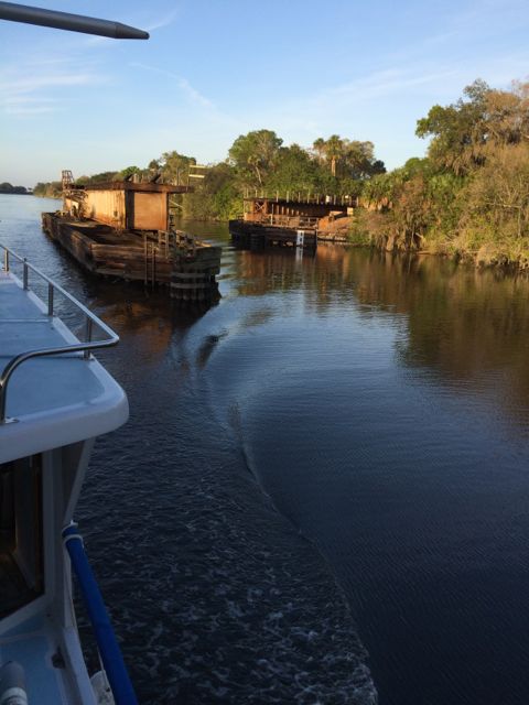
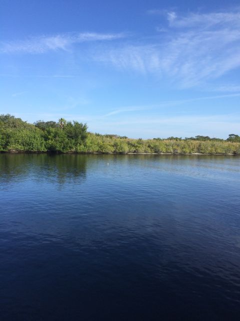
The other side of the river looks like this:

10.21 am view

Swampy.


The next homes we saw were that ever present mobile home park!  Everything so nice and neat.   Is anyone home?

10.34am mobile homes

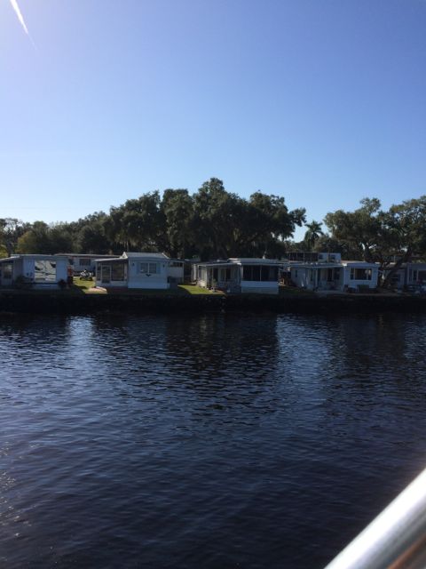
Mobile homes right on the river bank. How pleasant is that?!

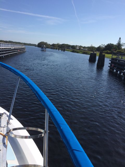
We are one of 4 boats in a row heading in the same direction.  This view is out our back door.  Two are following behind us.

10.47 behind us...view


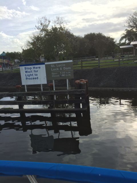
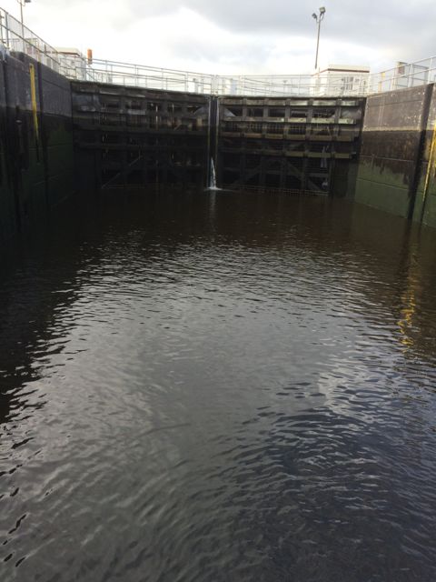
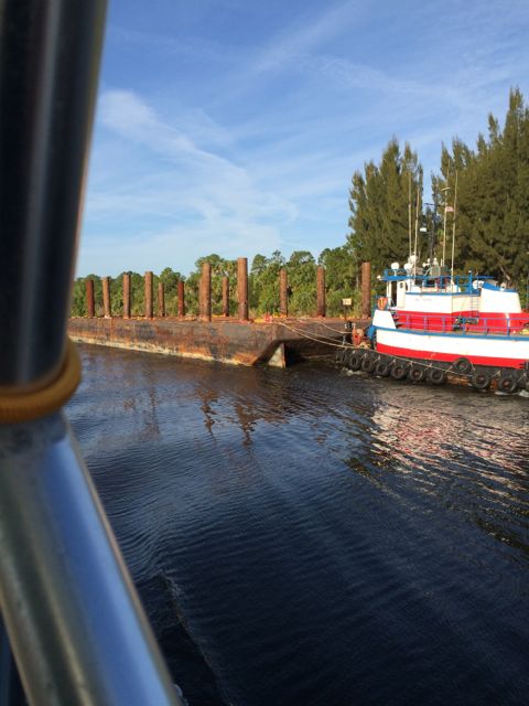
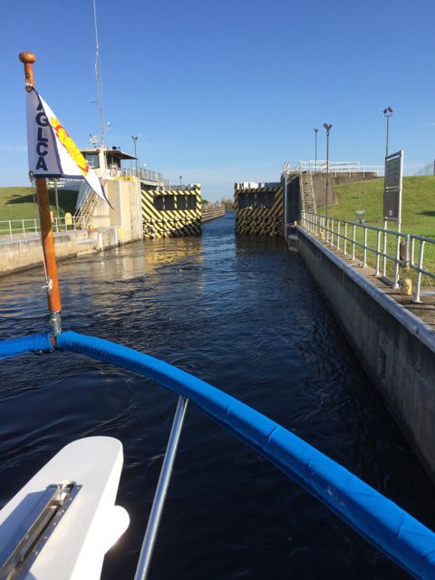
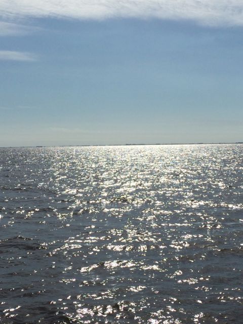
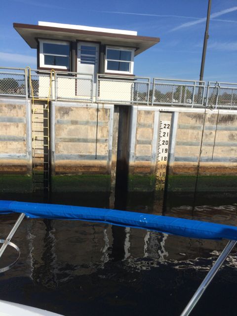
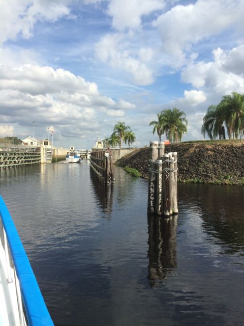
We are approaching our first ever Lock!  The Franklin Lock.  The doors are actually at the end of this pathway.  There is one boat ahead of us.  There were 4 of us.  All along the same side.  Once we were in and set, the back door was closed.

10.51 am entering Franklin lock c

Entering the Franklin Lock

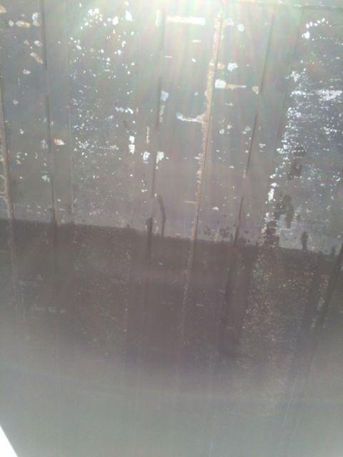
The lock master was really nice.  He communicated to both Wayne and I separately so we would know what to expect.  The lines ( ropes ) are supplied by the lock master and  were hanging down along the concrete wall.  As Wayne piloted us into the lock behind the other boat, I grabbed a line and wrapped it around the front bow cleat.  Tight enough to hold the boat close to the wall as the water rose us 3 feet higher.  As the boat rose, I kept reeling in the line keeping the boat close to the wall.  The lock master told me I was going to get taller today!  Yea!   You can see the water marks along the wall.  Algae never lies.

10.52am current level in franklin lock

Franklin Lock – Raising us 3 feet today.

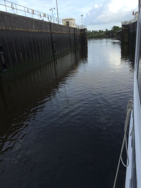
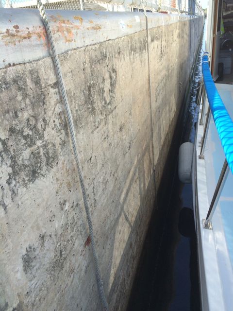
Wayne left the engines on and went back to pick up a stern line.  Holding the back of Always Home steady as the water rushed in.  The rushing water enters into the left side and causes lots of turbulence as we found out later.  Our side, not much turbulence at all.

10.56am getting lines from the lockmaster

Looking back along the wall hoping to see Wayne. You can see the lines along the wall.

Actually, this was the best locking experience ever and for the rest of the day!  Had we known we might have turned around and done it again!  We were on the starboard (right) side of the lock.   Calm waters.  Good communication.

11.14am leaving Franklin Lock

Leaving Franklin Lock – am I taller?

Right past the Franklin Lock everyone sees a camel sitting by the side of the waterway.  We didn’t see a camel.  We saw llamas.  Trust me, we saw them. Alas, this shot is too far away.  OR the llama knew and hid behind the trees.  Must be a petting zoo.

11.37am llama - no camel

No camel today.

As we are motoring along Wayne said… Plane.  “Sea plane is landing.”  I thought he said, “See a plane is landing”.  I was busy looking for the camel and didn’t see the plane. Two different things.  I finally see a small plane ON THE WATER through the binoculars.  Oh…a Sea Plane.  We saw it do that touch and go landings up in front of us for a hour.  Just as we were getting close, the plane would take off and soar ahead of us to land again in the still river waters.  I finally was able to get a final picture of the plane going to a grassy field.

12.18pm plane

Sea Plane! or is it River Plane.

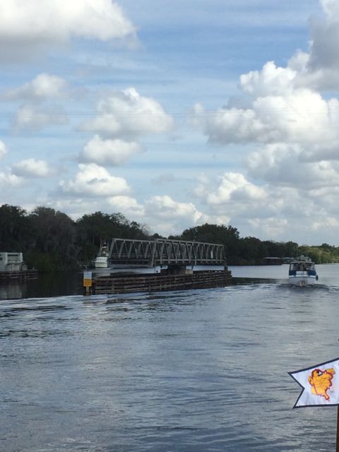
Fort DeNaud Swing Bridge was open.  The operator walks to the center of the bridge to open it.  Two of us got through before the bridge tender had to close it.  Too many cars were waiting for us slow poke Trawlers to pass.  Next time you are sitting in a car and need to wait for some boaters to pass, be patient.  We can only go 3 mph!!  Slow speeds are required around bridges.  It’s the law.

12.36a swing bridge open for us!

Fort DeNaud Swing Bridge open and waiting for us to pass!


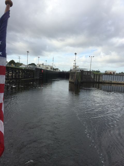
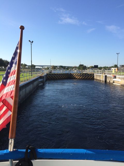
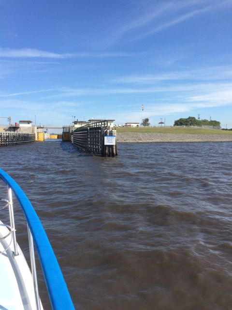
Our second lock of the day.  Ortona Lock.  We had such a pleasant first experience, we thought this locking thing is going to be a piece of cake!!  However… we should have known things would be different.  The process is to call the lock master and ask when the next available time the lock would be opened.  No answer back.  As we got closer, we found two other boats ahead of us.  We three waited about 15 minutes for the 4th to finally come up behind us.  Which means you are at idle watching the current and the position of the other boats.  What is going on?  What are we waiting for?  Why won’t the lock master say howdy folks.  The lock master was waiting for the 4th boat to fill the space. The 4th boat got caught at the swing bridge.  It was very considerate. Had we known we would have been less worried.  You know, the thoughts that run through your mind…what do we do if the lock is broken?  Is the lock broken?  Why won’t the lock master tell us what is going on?  OMG!

2.21 pm entering 2nd lock of the day

Entering the Ortona Lock

The lock master finally came on the radio and let us know the first two boat were to go along the starboard (right) side and we and the last boat would be on the port (left) side.  Ok.  Here we go.

2.26 pm water pouring into lock

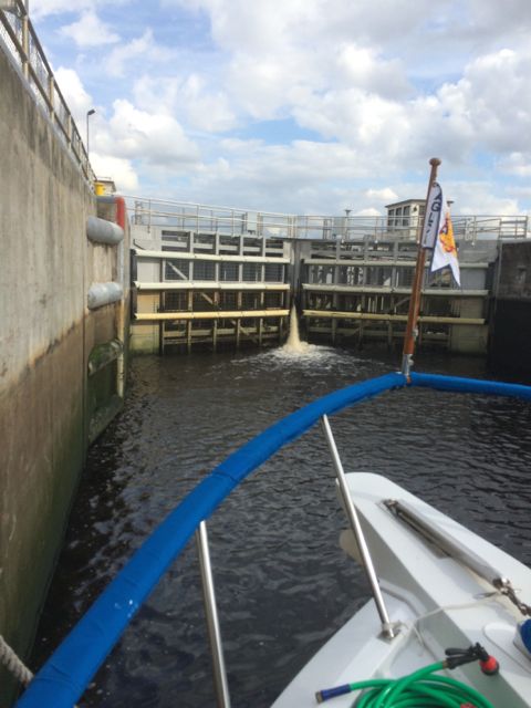
Water pouring through the doors as it is slowly opened.

Our experience after I stuffed my phone back into my pocket was not good.  The surge of water seemed to come toward us on the port side.  I am holding on to the line with all my strength. What? Then I am pushing the boat away from the wall with all my strength.  Back and forth with this gushing water.  I look over at the boat on the starboard side and he is picking his nails or his nose. Which ever I don’t really know since I was preoccupied.  As if he has no concern in the world.  He isn’t feeling the water!!  Wayne tells me later he was doing the same thing.  Pushing the boat away from the wall and pulling the boat in so we didn’t hit the boat on the other side.   You saw the wall on the first lock.  Same kind of wall.  Same kind of setup.  Concrete is hard!  The sound of boat crunching is wincing and there is little we could do about it.  It seems we felt the brunt of the water turbulence.  Oh dear!!   Those were NOT the words I used, however.  Folks were filming their friends that were locking through on the starboard side.  I wonder if it will end up on youtube, edited, I hope?!  Ugh!!

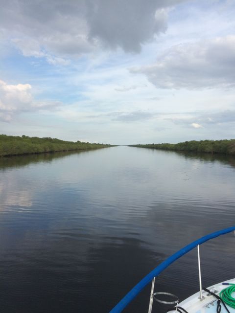
After the lock, calm waters.  We were 4 feet taller.  I was so upset with that experience I didn’t care.  Total for the day…7 feet taller.

3.38pm River calm -

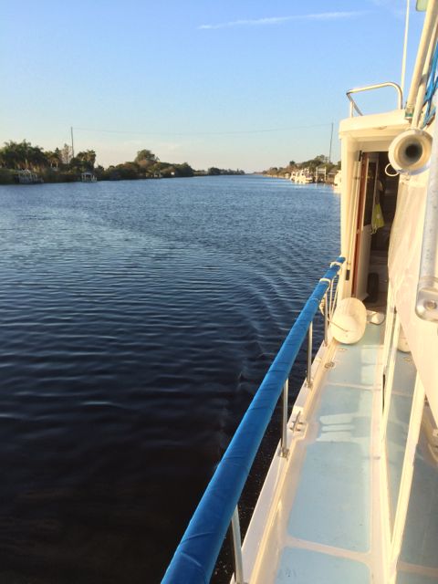
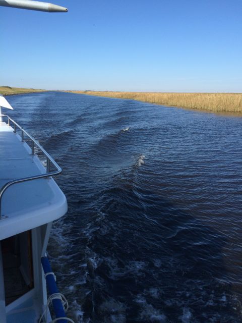
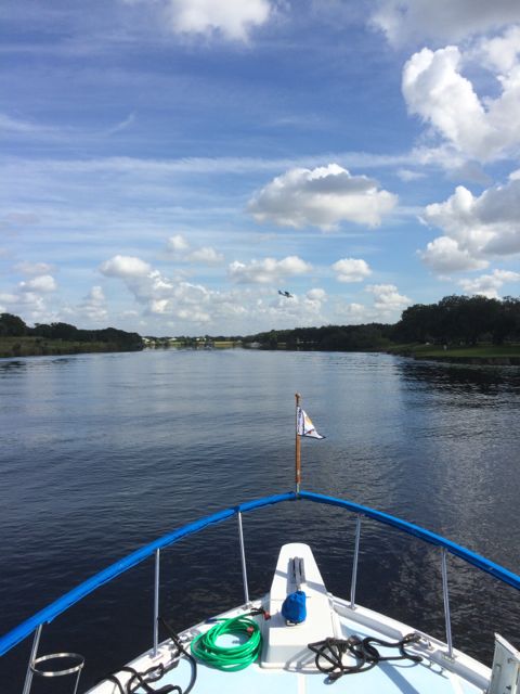
River is calm again! Onward to Moore Haven, FL

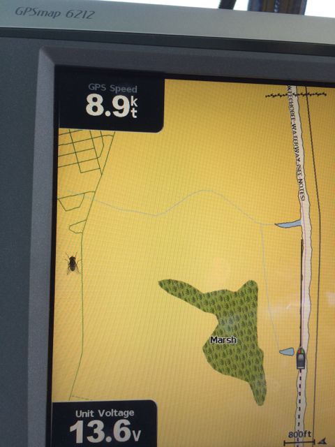
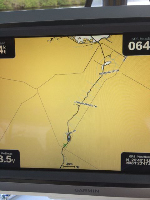
I did take a picture of our chart plotter when I was driving the boat.  Don’t tell Wayne I took my hands off the wheel for just a second.  There is a little image of a triangle behind the “boat” image.  It is a boat that followed us the rest of the afternoon.  The “boat” image is Always Home, in case you were wondering.

1.26pm chart plotter

Chart Plotter – river ahead doesn’t look too scary


Onward to Moore Haven for the night.  Moore Haven is a small town of approximately 1700 people.  They have a city dock that is available for transients.  That is what we are.  Transients.  We never stay in one place very long.  $1.00 a foot for the night.  We are 47 feet long.  Water and power.  What more do we need?

As we rolled up to the Moore Haven, which is more like a wide spot on the side of the road, there were several boats already on the free dock (no power, no water)  We were interested in the city dock.  There was a group of folks outside milling around on the dock.  They saw that we had a dilemma.  There was space if only the small 30 footer would move forward along the dock just a tad.  He did!  Then Wayne parallel parked our Always Home into the space.  I threw a bow line to someone in the crowd and she fastened it to a cleat.  Someone else caught a stern line and we were in!!  The group praised Wayne for his prowess  – a master in docking the boat!!  Awesome!  We were in, tied up and feeling relieved that we had a spot along the dock for the night.  Three more boats pulled in at dusk.  They ended up on the rickety dock that didn’t look like it would hold itself up.  With little current, no tide, it was a quiet night.

We stayed in.  Others may have gone to the Mexican restaurant or the Burger King farther down the road.  7 hours on the waterway.  All that fresh air and partly sunny skies.  We were exhausted tired puppies.
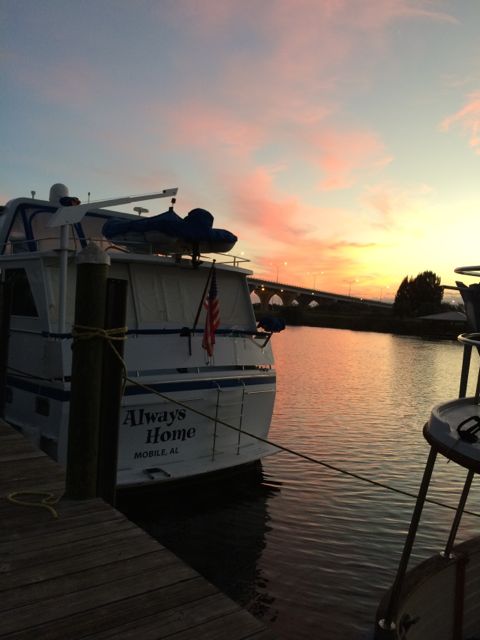
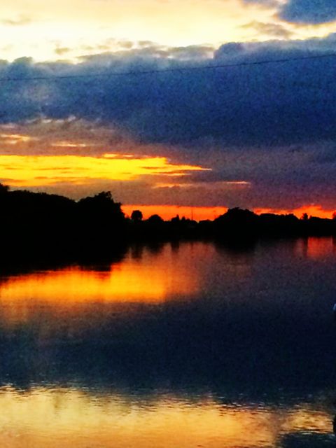
Say goodnight….

Jan 6 2015 sunset Moore Haven, FL enhanced

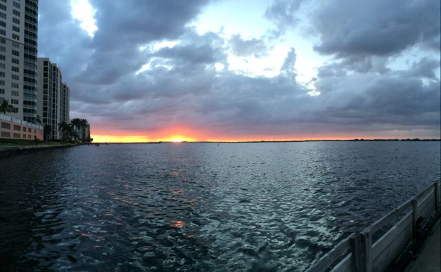
Sunset – Moore Haven, FL


Posted in Looping | 2 Comments

January 3, 2015 – Fort Myers, FL – a Walk-About

Good morning from Fort Myers, Fl.  70- 86°F.  Water Temp 75°F

There is a breeze throughout the day making the 86°F most comfortable.  We couldn’t tell it actually got that warm.  Maybe Wayne could.  For me an icy beverage of my choice and a cool breeze is almost sweater weather.  brrrr

There is a Publix grocery store just a short couple of blocks from the marina.  How exciting.  We decided to break out our “lil’ red cart” and go shopping.

red cart wagon

Wayne and his lil’ red wagon

We filled it up!!  This little wagon is the cats meow.  It can hold up to 250 lbs said the label.  I don’t think we had that much weight but it made transporting our goods rather easily.  You can only carry so much in your arms no matter how close the store is!  My wine gets heavy!

Sights that I found fascinating:

pods a

Plant with pods

red pod seeds - enhanced

Red seeds from a fully developed pod

I didn’t recognize it.  I thought the pods were pretty.  Wonder why there aren’t birds all over this plant.  Interesting….   What did Wayne say as we were walking away from it?   I know you are curious.  “Don’t fall asleep!”   ( the pods are way too small for a new me to be generated but…. just in case… I will keep one eye open…)

This is a “Cardboard Palm” tree or bush from Mexico.  The female plants are the ones that eventually get pollinated and will produce seeds.  However, the plant is poisonous.  Thus the red.  Right?!?!  As a warning to all animals and human.   Or, in my case, a shiny attraction to how beautiful the seeds are.   (For all those mystery writers, you may want to research this fascinating bush and weave it into one of your stories.)

Some of you know I have been handy with a brick and mortar building a couple of cinderblock BBQ kitchens in our backyards.  I am always on the lookout for interesting brickwork.  Here is a simple idea yet very eye pleasing.  Airflow with plenty of places for lizards, crickets, and black widow spiders to make a home.  Still.  A simple idea for a fence.

brick wall a brick wall 2

Bricks turned 90 degrees.  How simple.  I bet it was harder to make perfect than it looks.

We walked over to Centennial Park a short couple of blocks away.  It is a city park with swing sets, playgrounds, picnic tables, sand filled volleyball court, bathrooms and plenty of benches.  We enjoyed watching some young men try to jump a fire hydrant with their skateboards.  Rather unsuccessfully.  But practice makes perfect.

centennial park plaque - crop

It is located between Legacy Harbour Marina and the Fort Myers Yacht Basin.  We found this grand boat recently at the dock. A paddlewheel boat!  Capt JP is a triple deck paddlewheel boat for hire.

jp river boat

We are new to boating but these old pilings look a bit worn at the water line.  Don’t you think?  Probably why they are not used anymore?!  One good wind and over they go.

old pier near park


To finish the day, I like to walk to the end of the dock and look out over the river and see the sunset……

sunset Jan 2 2015 a

The clouds embracing the sun as it says goodnight.

Posted in Looping | 2 Comments