April 27, 2015 – Onward to Kilkenny Marina near Ossabaw Island Georgia

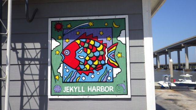
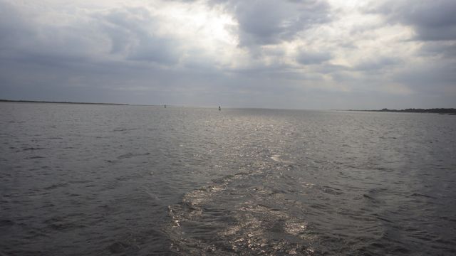
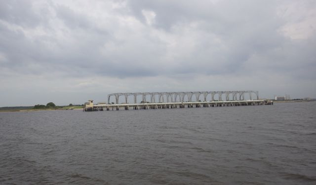
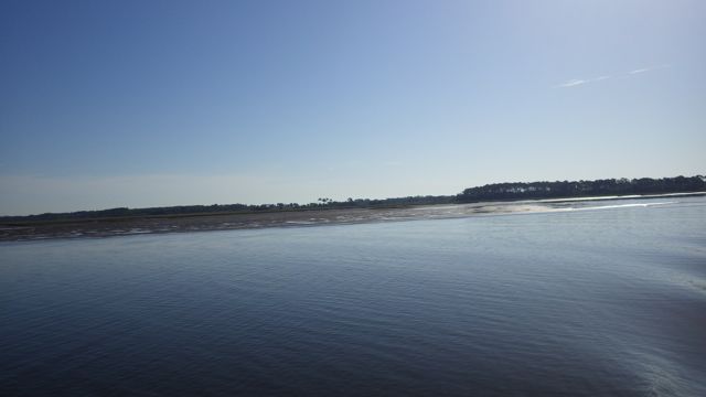
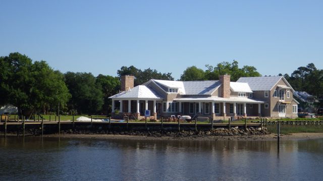
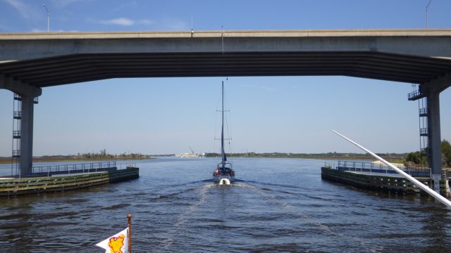
We had a long haul scheduled for today.  The marsh and islands abound with few cities, marina, or ports for dockage.  The best we could find was 70 miles from Jekyll Island. We got up early to make our 8 hour day as pleasant as possible.   Again, cloudy and cool but no rain in the forecast.  Winds had died down over night and the water was very quiet.

7.34am leaving Jekyll Island 4-27-15

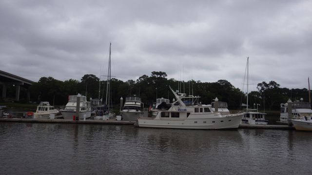
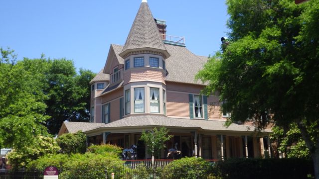
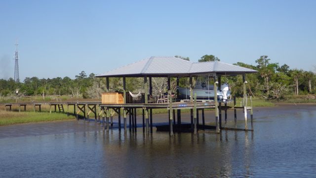
Leaving Jekyll Island, GA

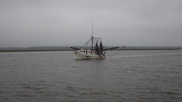
As we were leaving Jekyll Island we saw a number of Trawlers.  Shrimp Trawlers getting ready for the shrimp season to begin first of May.  I love this trawler’s moniker, “Bug Hunter”.

7.47 shrimp trawler - bug hunter - crop

Bug Hunter

“The Isle of Eight Flags Shrimp Festival” held in Fernandina Beach, FL the first weekend in May.  I did converse with the Logistics Chairman of the shrimp festival who remarked that this is the 52nd year of having the festival.  Sorry we missed all the excitement.  Maybe next year.  The trawlers we saw looked like they have brand new nets and getting ready for the new season.

12.25 William Patrick trawler

William Patrick

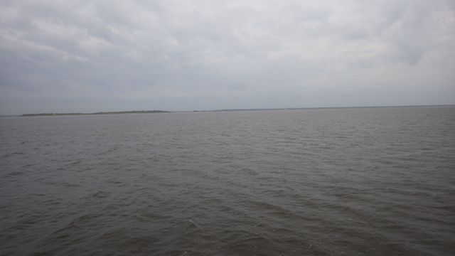
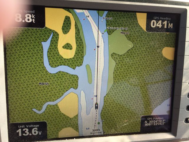
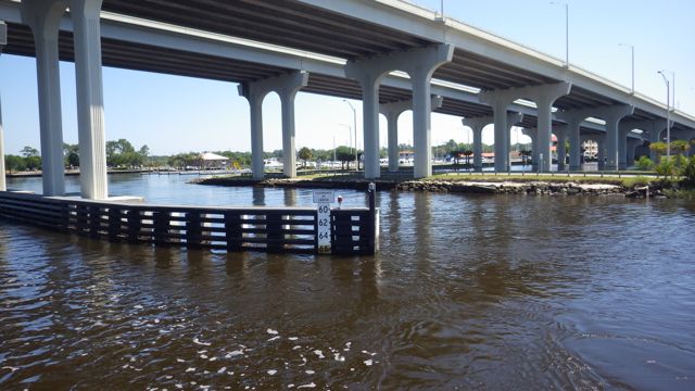
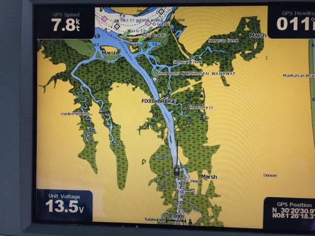
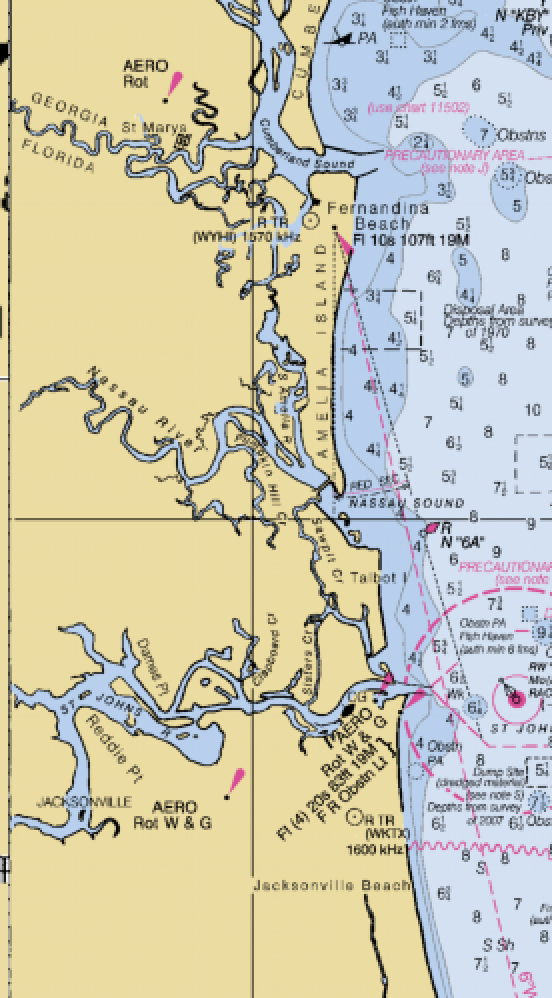
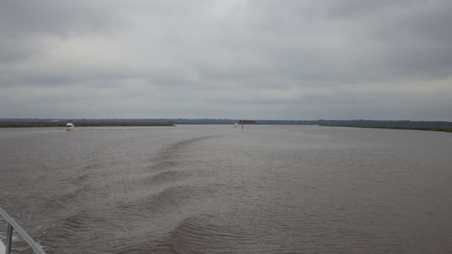
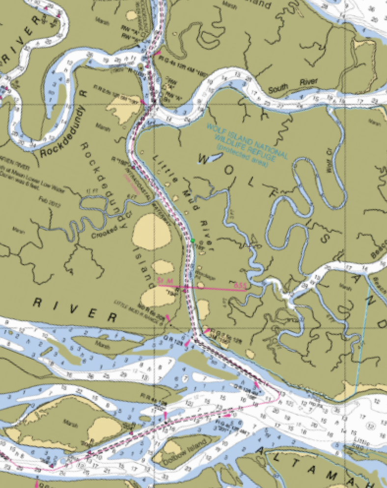
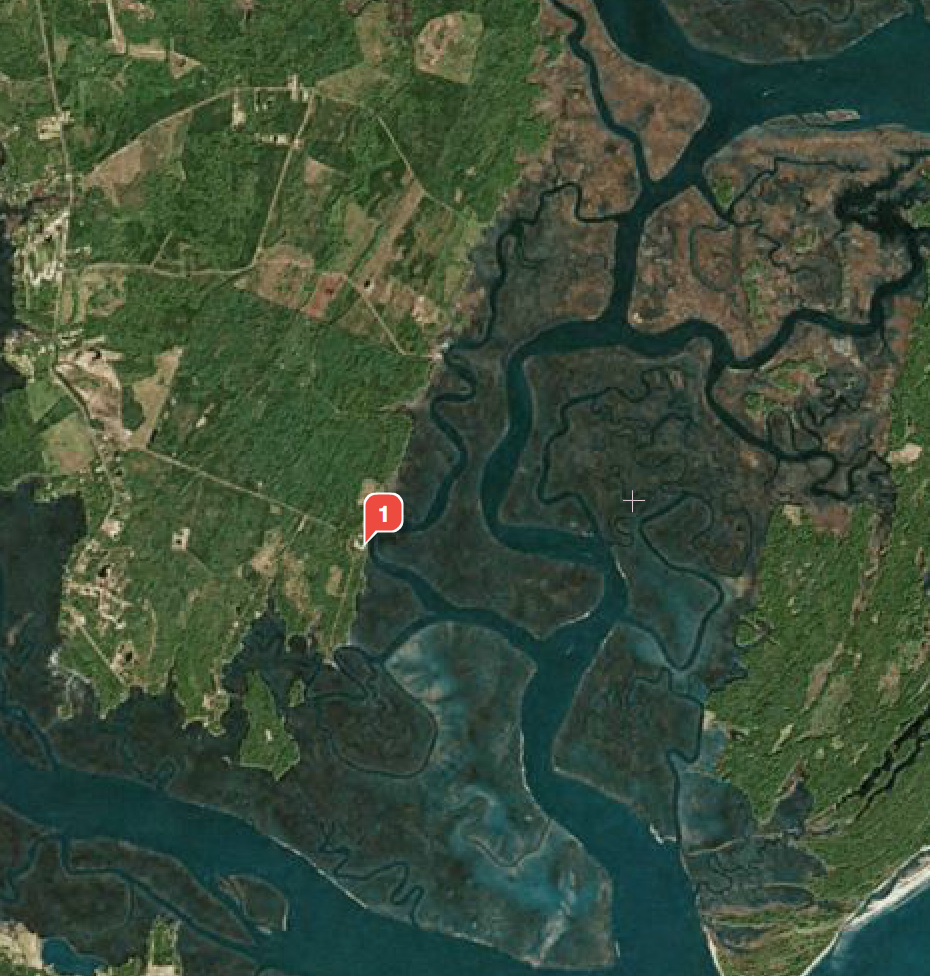
Calm winds and smooth water.  The first drama for the day was trying to decide which river to go up.  The chart plotter didn’t continue the “magenta line”.  Which way to go??  Do we go up Black River, Mackay River or around Lanier Island on the right?

Screen Shot 2015-04-28 at 9.37.26 PM

North of St. Simons Sound

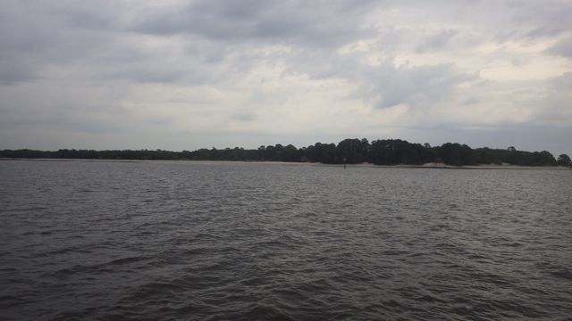
As you can see there is plenty of water depth in all the ‘fingers’ going north from St Simons Sound.  The three fingers, which I call them, all meet together a bit north anyway.  We chose the middle path… Mackay River into Manhead Sound.
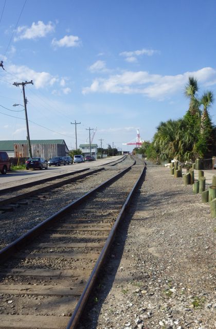
Screen Shot 2015-04-28 at 9.37.08 PM

Mackay River it is

As we traveled the day, there ended up to be 4 of us all headed to the same location, Kilkenny Marina.

10.04 2 trawlers behind us - all the way to KilKenny

2 trawlers behind us.

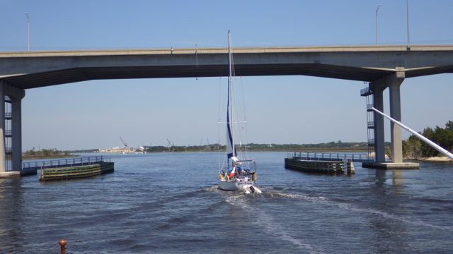
We were the second trawler in the line.  We were going to go through “Mud River” which we were warned to go through at mid-tide or better being that it is notorious for shoaling and not very deep at low tide.  Some folks have reported as little as 3ft depths at low tide.  Our draft is 4.5 ft so we need at least 6-7 ft to be safe.   We all traversed this river with no problems.   Only at one spot did we see less than 7 ft.  Going slow and giving lots of room between the boats.
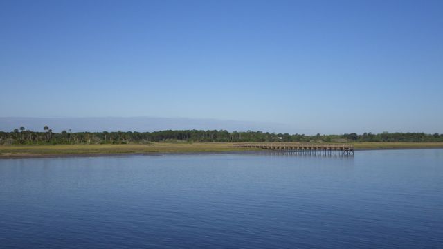
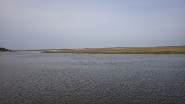
Screen Shot 2015-04-30 at 9.29.10 AM

Little Mud River


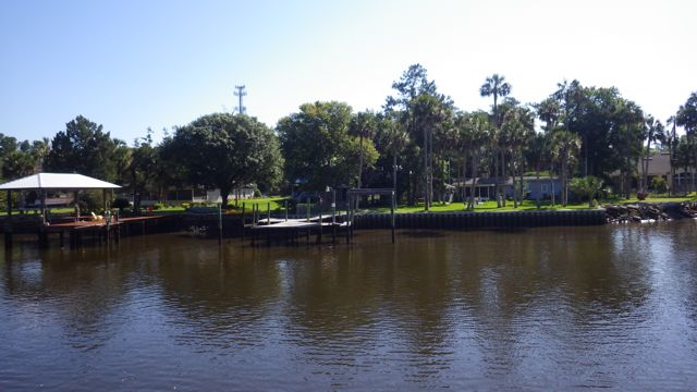
By late afternoon, we were finally at Kilkenny Marina.  Out in the middle of nowhere, Georgia.

Screen Shot 2015-04-30 at 9.35.02 AM

Kilkenny Marina


Kilkenny Marina is described as being “rustic”.  You know what that means, right?  Don’t expect much but a great place to pull over for the night and enjoy the wonders of no-see-ums if there is no wind.  The least complicated registration ever.  Just put our boat name and destination in a paper logbook that looks like a hotel registry of times past.  Quaint.

side view of dock - Kilkenny marina - 4-28-15

Kilkenny Marina Dock


The marina has a wooden floating dock that is held on top of the water with blue barrels.  When you walk on the dock, it sways under your weight back and forth.  Each segment is independent of the next so everything moves forward, backward, and side-to-side.  You really have to watch your step.

KilKenny rustic ramp - 4.32pm

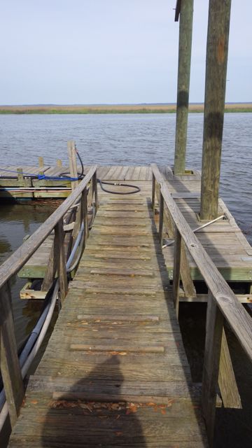
Rustic Ramp at Kilkenny Marina

A great travel day.  All four of the trawlers were safely docked for the night.  A couple sailing boats came in after us.

peaceful Georgia Marshland 4-27-15

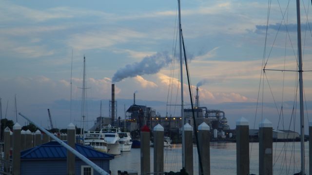
Evening sky at Kilkenny Marina, GA


We expect to get up early tomorrow morning because we have 2 more challenging areas to traverse at mid-tide.   All four of us again going in the same direction…North.

Posted in Looping | Leave a comment

April 26, 2015 – Jekyll Island, GA

What a beautiful windy day greeted us today!  Sun shining.

Jekyll harbor sign - 4-26-15

We had a late breakfast and took our time getting started.   We borrowed the marina’s golf cart and did a quick tour of the island.  It is beautiful island with lots to offer the golfer, beach comber, biker, or hiker.  How many pictures of southern oak trees ladened with spanish moss can I take??  Since I was driving the golf cart, I didn’t take many pictures.  Wayne doesn’t get many opportunity to be a passenger.  He held on tight and mashed his right foot on the imaginary brake a couple of times, but survived the trip with no more grey hair than he started.  I think.

Jekyll Island has all sorts of history.   The Revolutionary war, slavery, and more recently the place where “the power brokers of the day” created the Federal Reserve.  Look it up if you are interested.

The Horton house is a 2 story house that is being preserved to show the kind of building construction and architecture of the 1700’s.  It was built in 1742 by William Horton.  The interesting part of the preservation is that the actual construction material can still be seen.  It was made with “tabby” a concrete like material using oyster shells.   It stands proud after over 200 years.  Will modern concrete last as long?

horton house 1736

Horton House

You can still see oyster shells.  ( ignore the rude graffiti on the left – why people have to scratch their initials and names into walls is beyond me.)

cement with sea shells?  horton house - 4-26-15

Oyster shells evident

A restaurant is adjacent to the marina.  It seems like almost every marina we have been to offers boaters some kind of bar, grill, or upscale restaurant.  Also, for locals to take in the river views, boats, and fishermen.  I was taking in the view when I noticed some folks at the nearby restaurant table looking over at me and pointing.  What?  Something wrong with my hair?  I look around and see nothing peculiar and then I look UP…

17.30pm squirrel - crop?

You looking at me?

He was looking at me.  Peaking out and hoping that I might have a morsel?  I told him I didn’t have anything.  Sorry.

Such a nice cool breeze, fresh air, and before I knew it, it was nap time.

Posted in Looping | Leave a comment

April 25, 2015 – onward to Jekyll Island, GA

The wind died down and we felt it was a perfect day to motor up the ICW to Jekyll Island, Ga.

8.37 am - 4-25-15 Leaving Fernandina Beach

Leaving Fernandina Harobr Marina, FL

As the picture indicates, it was going to be an overcast day in Fernandina Beach but no rain.  We could handle that.  Cooler temperatures meant we had to put on light jackets to keep warm.  We did get sprinkled on just as we were entering Jekyll Marina but nothing major.

The paper mill was working full tilt.  Isn’t that a huge pile of saw dust?  Or wood chips?!

8.44 am - 4-25-15  Papermill

Papermill in the morning

If you ever lived in Atlanta, GA you will know that “Peach Tree” is on almost every sign.  Peachtree Avenue, Peachtree Lane, Circle, St., and on many of the business signs.  So, too is the Cumberland area.  There is Cumberland Island, Cumberland sound, Cumberland River, and more.  Cumberland Sound joins St. Mary’s River and the Cumberland River.

8.54 cumberland sound port side 4-25-15-2

Cumberland Sound – port side view

8.53 cumberland sound stbd 4-25-15

Cumberland Sound – starboard view


To the east is Cumberland Island which is noted for the wild horses that run free.  We didn’t see any horses from our vantage point.  Just marsh, marsh, and more marsh.  I actually marvel at the kind of grass, bushes, and trees that are able to grow so abundantly in the brackish salt water.  I wonder if there is a way to tap that ability to desalinate the ocean for drinking water?  hmmmm science project in the making?  There are no roads over to the island.  You have to boat over or take the ferry.  Preservation of the barrier island is important to the Georgia shoreline.

8.59  cumberland island 4-25-15

Cumberland Island

I mentioned St. Mary’s River.  It has has deep water to ensure the naval submarines can come into the Naval Base from the Atlantic.  Deep water.  It is charted to be at least 42 feet deep.  Very deep considering most of the ICW is dredged to be 10 – 20ft.  I think we found almost 52 ft of water at a couple of places.

Per wikipedia, “The Submarine Base is the U.S. Atlantic Fleet‘s home port for U.S. Navy Fleet ballistic missile nuclear submarines armed with Trident missile nuclear weapons…”

We were on the lookout for subs.  Some folks have seen them moving in/ out of the area.  We didn’t this time.  I am surprised that the charts indicate this monster metal object as a naval degaussing area.  It is used to removed any magnetic signature of the subs to reduce their detection.   Or so they say.

9.25 degausser near submarine base 4-25-15

Degaussing area

I guess if Wikipedia has information about this base, it certainly isn’t a secret.  The charts all indicate this degaussing unit as well as the base with “alerts”.   As we motored past the degaussing unit, we saw the ever present naval ‘go fast boat’ guarding the entrance to the base.

9.30 naval guard verssel 4-25-15

Naval Guard Vessel

The ICW took us up the channel and it looked like we would go right into the base.  We tried not to look dubious.   They powered up and kept pace with us for a few minutes.  Then the ICW abruptly make a 45 degree turn at the last minute to the east and away from the base.  They backed off and went back to their surveillance.

That was the excitement for the day.  We arrived at Jekyll Marina mid-day.  The wind kicked up and it took us 2 tries to dock the boat.  The current pushed us in one direction and the wind another.  Wayne handled it like a pro.  The dock hands gave us a lot of help also.  Whew!  Parallel parking a 44,000 lb boat between two other boats with very little room to spare is nerve wracking to say the least.  But, we made it and relaxed the rest of the day.  Rain was in the forecast overnight.

No sunset picture.  It was grey all day.

Posted in Looping | Leave a comment

April 24, 2015 – Fernandina Beach, FL

We woke to high winds this morning.  It was blowing over 10 mph with gusts up to 25mph.  We decided to stay one more night at the Fernandina Harbor Marina since we had nowhere to be in such a hurry.  This will give us a chance to really explore the town more.  We did some sightseeing yesterday.

PM 5.30  Downtown Fernandina  4-23-15

Historic Downtown Fernandina, Fl


We ate dinner at the Salty Pelican.  Pretty good.  Of course, I had seafood.  Wayne had beef.  And we both enjoyed  a pitcher of beer.  yum, sip, burp…

18.29 or 6.29pm Salty Pelican for dinner

Salty Pelican for Dinner

This restaurant is right off the Rail Road track.

PM 5.29pm RR sign - 4-23-15

Florida’s first cross state RR

Following the Rail Road track leads to the Port of Fernandina.  Who knew?  I had no idea there would be a “port” here.  See the cranes?  Able to lift containers on and off barges and rail road cars, I suppose.  You can tell we were getting a little rain in the forecast.

PM Port of Fernandina  - 4-23-15

Port of Fernandina


PM  5.32 RR tracks going to the PORT 4-23-15

Tracks leading to the Port

Makes sense when you consider how these paper mills get their products to market.  The port was busy with trains coming and going several times a day.

PM  7.41  Factory - Fernandina FL - 4-23-15

Paper mill in the morning light

Getting back into the mood of travel, here is one of several road signs that directs tourists. I saw the “Slightly Off Centre” store and just had to find out what was in it.  The store was on the way to the “Central Park”.  A good stretch of the legs was needed.   “Slightly Off Centre” is a pottery and painting place.  The only thing “off center” were some of the platters.  Gee, I was hoping for something a tad more different… a store filled with whatnots just off.

19.05 or 7.05pm signage in historical Fernandina 2

Road sign in Fernandina Beach, FL

We did walk by this fellow after dinner.  Palace Saloon says it is the oldest bar in Florida.  I went in and saw some of the old memorabilia but didn’t stay long.  A wall of cigarette smoke hits you when you enter.  Not my place to hang out even is the price for a pint is only a couple of bucks.

18.33 or 6.33pm Saloon..smokey

Palace Saloon

Isn’t this just the iconic small town with a horse drawn carriage?

19.00 or 7.00pm horse carriage

Horse drawn Carraige


The houses in the historic district are mixed use.  Some are personal residences.  Some are businesses.  Some are Inns or Bed and Breakfast establishments.   This house looks in really good shape.   Always makes me laugh when I see that many fireplaces in a Florida home.  It is like seeing fireplaces in Arizona.  Yes, it may get a tad chilly here, I admit.  The only thing I worry about is the ivy growing up the one wall.  Ivy digs in their roots pretty well.

Lovely historic house

This one is for sale.  Note the merry-go-round horses on the porch.  I wonder what it takes to keep these homes in such pristine condition.

for sale - castle - horses

Now this should be called a “slightly off” because of the whimsical garden stuff.  Lots of antique-ish looking items that are just waiting for you to find a spot in your garden.  Antique looking is also known as rusty and old.  Right?

Garden shop in Fernandina

Garden Shop


I forgot to mention the Independence docked here yesterday.  We saw many of the passengers out and about the town.  I struck up a conversation with a couple that were enjoying a bit of sun.  They said their stateroom had a king-sized bed and a couch.  Lots of room.  Food?  Way too much food, the couple said.  Remember when I mentioned the “American” cruise ship?  This is a sister ship.  They hit all the important ports of call up and down the east coast.

Independence at dock -

Independence

Yes, we did find the ice-cream shop!!  This is one scoop.  Remember, always eat dessert first so you know you have room.  I got the chocolate chip scoop.  Wayne got the “old people” flavor…. butter pecan.


18.40 or 6.40pm icecream for dessert

Chocolate Ice cream

Gotta go.  Dinner may be smaller tonight after all the ice-cream!

Posted in Looping | 1 Comment

April 23, 2015 – On the Road to Fernandina Beach, FL

We left St. Augustine and are on our way to continue our Loop Adventure.

We had watched boats of different sizes leaving the Camachee Cove Marina struggle with the current of the Tolomato River colliding with the St. Augustine inlet of the Atlantic Ocean.  Some of the boats would ‘crab’ or ‘walk’ as they entered the river.  That means the current is moving the boat sideways even though the boat captain wants to go straight.  We decided to go just after low tide when it seemed that the current was marginal and we were ready with both engines to ‘gun it’ if needed.  We certainly didn’t want to end up on a sand bar.  I was watching the boat traffic, depth gage, and telling Wayne to turn into the ICW!!! We made it without too much trouble.  Anxiety mostly.  Wayne piloted us gently in the ICW and we are off!  Road Trip aka  Looping Waterway Trip!!

8.30am leaving Camache Cove, St Augustine  4-23-15

Leaving Camache Cove Marina, St. Augustine

Marsh is on both sides of the Tolomato River.

9.18am Marsh to the right  4-23-15

Early morning Florida Marsh

On the chart plotter, it looks like this…

9.39am chart plotter - more marsh

Marsh on both sides of the river


I spied a long pier jutting out into the river but saw no house attached.  Maybe there used to be one in the clump of bushes and trees to the left.  Hard to tell.   Nothing obvious.  The pier looks in good shape though sadly by itself.

9.19am Long pier - no house - 4-23-15

Long pier with no house in sight.


This morning I saw my first naked sailor.  I was driving to give Wayne a break.  I couldn’t see what was going on until after we passed each other when I saw the man stand up.  The “crack of dawn” greeted me.  Wayne said, “I thought I saw a lot of skin!”   The sailor must believe in taking what Benjamin Franklin used to call “Air Baths”.  hahaha  Yes, dear sister, he gave us a wave with his hand and not anything else.  😉

As we approached our first bridge, we noticed what looked like a human settlement.  We likened it to “shanty town”.  From far away, it looks like huts that I have seen on Discovery Channel.  Open sided huts with a roof near the water’s edge.   It seems that people live near bridges.  We didn’t see many house in the marsh.  Maybe what is so attractive to build near bridges is that they can get to the other side?

10.01am beginning of shanty town - port side 4-23-15

Dock covers along the port side

10.01am shanty town near bridge 4-23-15

Boat Covers off the port bow.

These open sided buildings are not homes but dock covers.  These aren’t shanties.  These are attached to very nice homes.  Some of the homes are hiding amongst the trees.  They tend to be single level ranch homes blending into their environment.  I much prefer these.  The trees providing shade during the hot humid months of summer.

10.13am B hidden houses 4-23-15

Camouflaged Homes

Others are just huge mansions.  This house has … 1… 2 chimneys.  Does it really get that cold here in upper Florida?  Nicely groomed lawn and lovely flowers.

10.02 not shanty 4-23-15

Modern house with 2 chimneys.

Our first impression when we saw this was… dock with a hot tub?  It isn’t a hot tub.  It is a Green Egg BBQ smoker.  No smoke today, folks, move along.  Wonder if they give handouts to boaters passing by.

10.02 BBQ on dock 4-23-15

BBQ on the dock!


Most of the bridges we were going to travel under  were all over 65 feet over the water.  With a rising tide, this bridge indicates there is almost 66 feet of water.  No problem for us!   We are glad to see such tall bridges.  Easier for the boaters and for the car drivers.  Neither one is hampered by the other.

11.35  bridge  65ft clearance

65 ft bridge clearance

We followed this sail boat under one of the fixed bridges.  Oh dear, will it make it?  Surely, they know whether they could or not.  Surely.  Or the boat would go outside into the Atlantic to avoid getting stuck.

12.14 will the sail boat make it under the bridge?

Will the sail boat make it under the bridge?

With inches to spare!  Maybe a foot!  Whew, we were relieved.  From our vantage point, we weren’t sure it would go under the bridge safely.  Whew.

12.15 sail boat cleared the bridge  4-23 15

Sail boat cleared the bridge


We noticed that in areas along our way, the waters turned coffee colored.   Tannic acid from the trees and leaves decomposing in the water.  Does look like coffee, doesn’t it?  We didn’t see any dolphins when we were in these colored waters.  We did have a pod of 4 dolphins follow us for almost 10 minutes when the water turned more green.

11.42am tannic waters 4-23-15

Brown tannic waters.


We expected a serious cross current as we entered St. Johns River.  St Johns River is a very busy commercial marine inlet/outlet with access to the Atlantic Ocean.  Wide and deep.

12.07 pm  ready to enter Jacksonville river

Getty ready to enter St. John’s River, Jacksonville, FL


Very few boats out today.  On the eastern shore near the we saw this large operation.  The sign out front said “BAE Systems”.  These boats they are working on look like small cruise ships with at least 4 levels.

12.28 BAE systems boat building

Boat Building Operation

Or that ultimate yacht for the “rich and famous” as Robin Leach used to say.

12.31 BAE system boats again B  4-23-15

Boat building in progress

Just north of Jacksonville, I saw these tall trees.  Don’t these trees look like they belong in a savannah in Africa?  Tall and graceful.  Almost out of character with the other trees under them.

12.50 interesting canapy of trees  4-23-15

Tree Canopy


We passed through Nassua sound.  Sounds are large bodies of water …. larger than a river and often times similar to “bays” in that they connect the ocean to the rivers inland.  The charts call these areas “sounds”.  We shall also.

Sounds and rivers - Amelia Island

Nassau Sound and St Johns River


As we approached our destination for the day, Fernandina Harbor Marina, we saw an industrial company.  Huge piles of orange sand?  Or ??  We were thinking concrete or rock quarry.  Rocks don’t grow near marshes do they?

14.38  factory??  huge pile of something  4-23-15

Factory with huge pile of ??

It is wood or saw dust!  This is a paper factory right next door to the marina.  Actually, there is another one north of the marina.  Yet, no smells.  Remember in the olden days when you knew you were close to a paper mill?  Sulfur smelling ugliness.  Not these!

PM sunset Fernandina FL  4-23-15

Sunset at Fernandina, FL

Till tomorrow

Posted in Looping | 2 Comments