May 15, 2015 – From Jarrett Bay Boat Yard to Oriental, NC

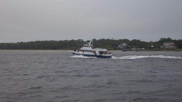
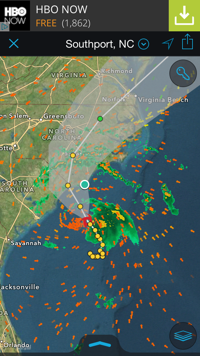
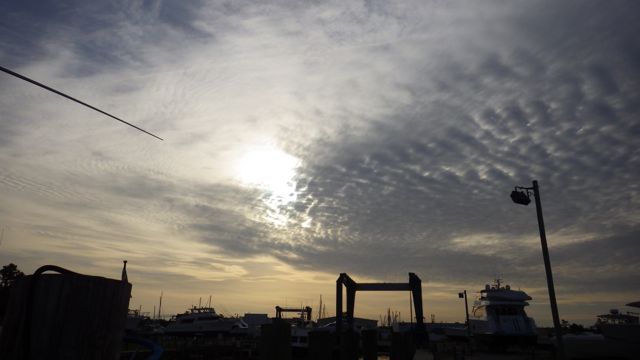
A great morning to everyone!!  We had an interesting night.  We heard and felt barges going up and down this stretch of the ICW all night long.  I assume that barges don’t need to see if they have radar, are the biggest and longest object in the water.  Their wake rocked the boat with the water slapping the sides of the basin wall and the boat in a symphony.  Great.

7.28 sunrise Jarrett Bay Boat Works 5-15-15

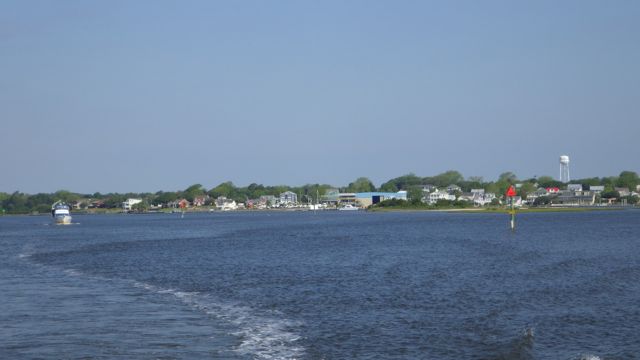
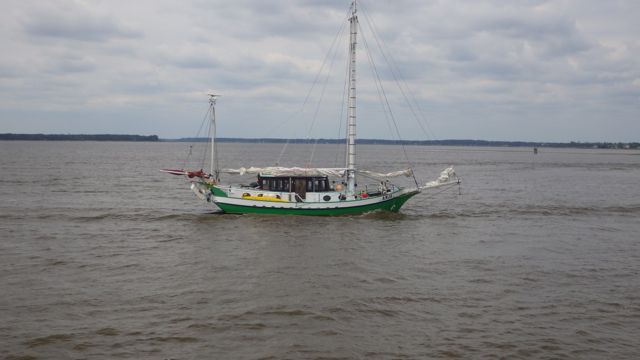
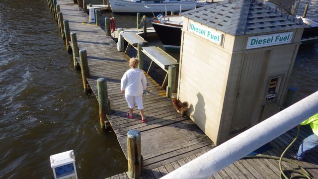
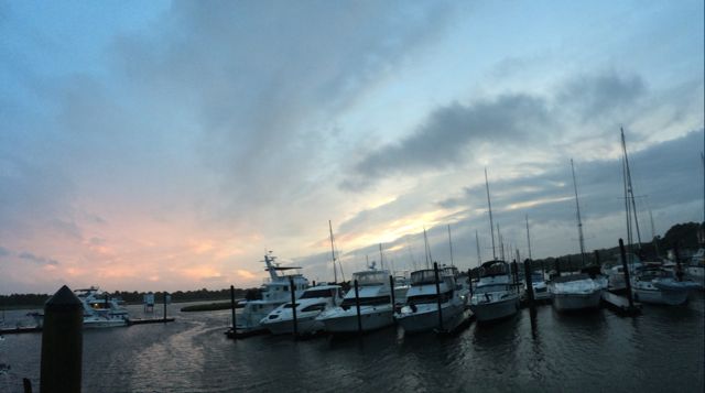
Sunrise Jarrett Bay Boat Works

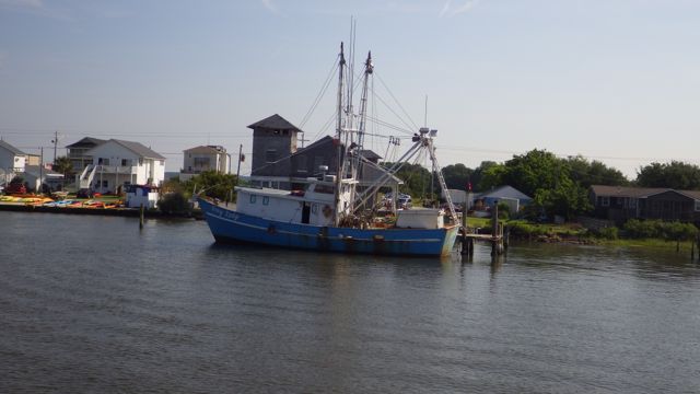
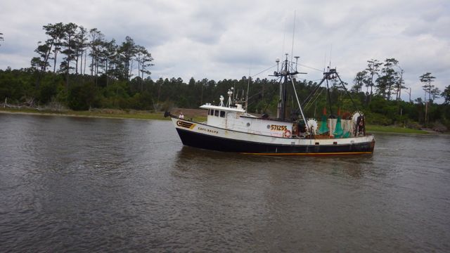
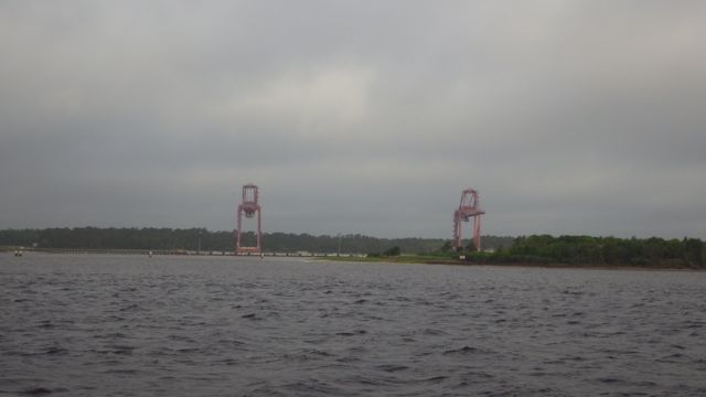
Although, this is really the picture that tells us where we are.  A 200Ton lift.  A yard hand started the motors on it promptly at 7am. Anyone still asleep?  Shortly afterwards a shrimp boat guided into it, was lifted out of the water and moved to a side place on the dirt yard.  We were busy getting ready to shove off so we glanced, were impressed and got back to our business at hand.  Seeing these large boats being moved around as if they are toys is always impressive.

Boat Works hauler 200T 5-15-15

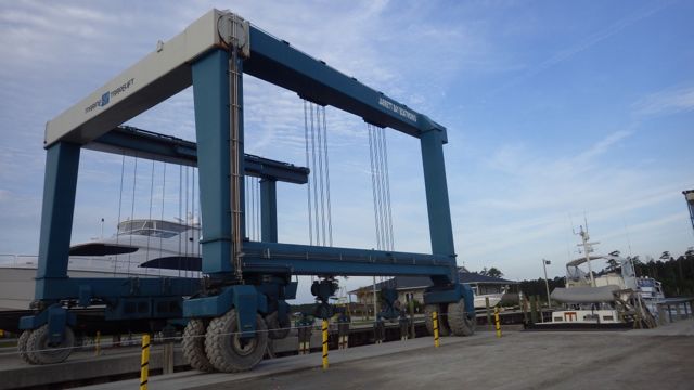
200 Ton Boat Hauler / Mover

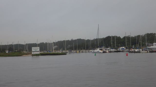
We left the Boat yard basin wall rather easily by backing up into the creek, turning the boat, and headed north with little wind and current.  A piece of cake compared to trying to dock Always Home in good wind and good current.  The Onan Generator started just like it was supposed to.  Job well done!!  It looks a bit overcast with a promise to be sunny later in the day.  No rain.

8.28am leaving Jarrett Bay 5-15-15

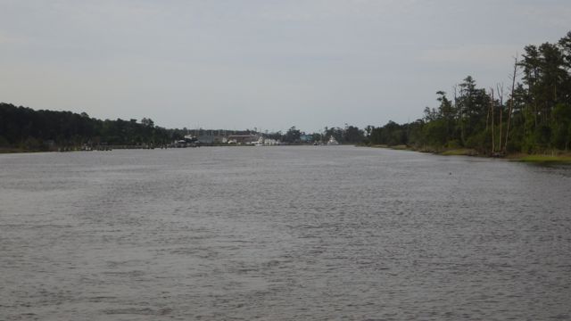
Leaving Jarrett Bay Boat Yard


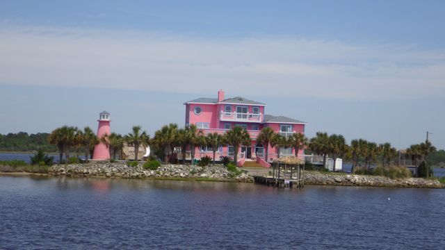
Wayne is driving when he brings this house boat to my attention.  “Hey, Honey!!  It’s for Sale!!”   hahaha  That comment about the house boat is what got us interested in doing the Loop in the first place.
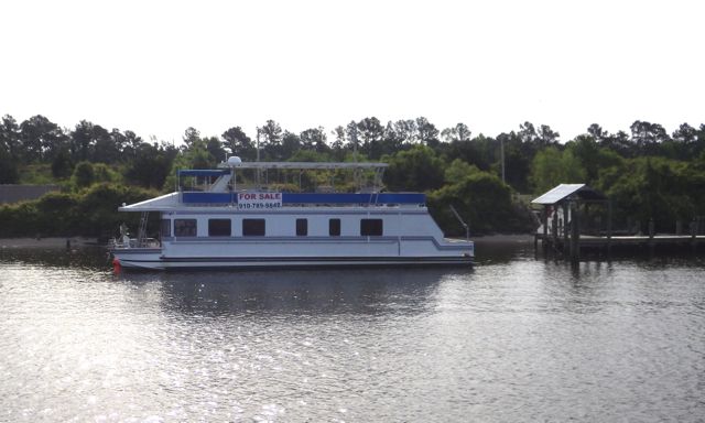
8.45am House boat for sale 5-15-15

House Boat for Sale


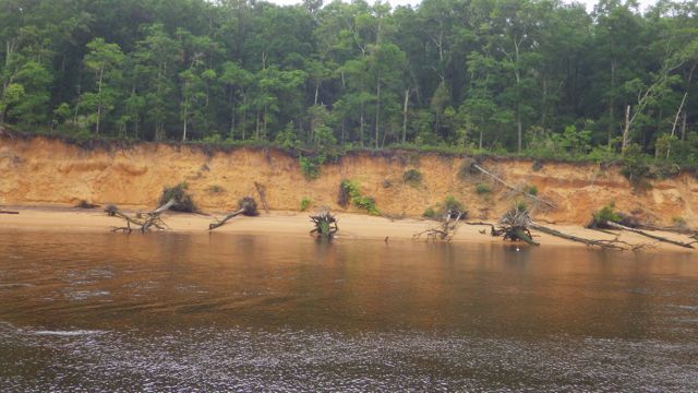
The maps ( charts ) say we were in the ICW – Intracoastal Waterway – which connects the Newport River to Adams Creek or “Adams Creek Canal”.   Houses that caught my eye along this stretch of the waterway …

8.49am colorful house 5-15-15

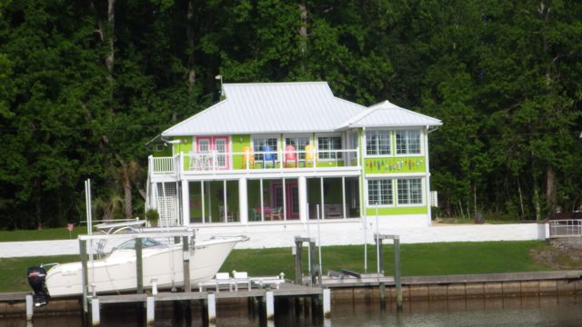
The green grass in front really sets this green house well.  Colorful chairs and accents.

8.53am nice seahorse house 5-15-15

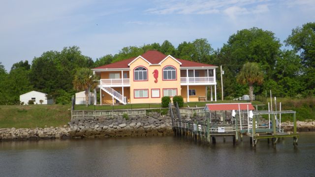
Sea Horse House – the colors great.

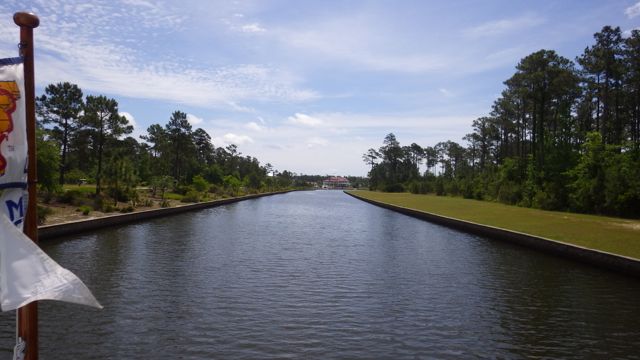
I took a picture of some of the country side in this canal since it was actually closer.  This canal is not that wide.  We are headed for what I call “Big Water” so seeing foliage this close may not be possible up the road.

8.55am NC trees 5-15-15

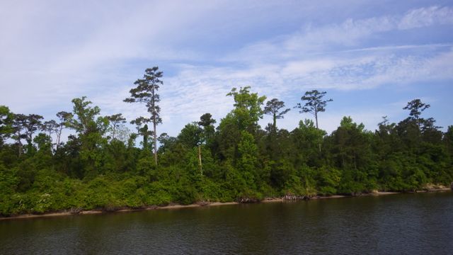
Great mix of shapes, heights, and colors
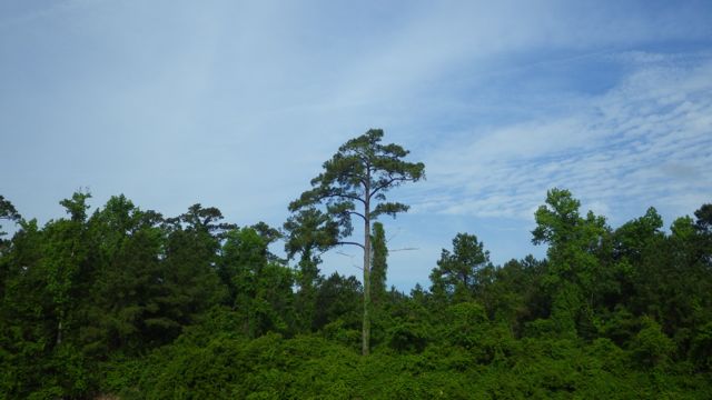
8.57am Tree with blue sky 5-15-15

Tall Pine


Waterway is calm and serene looking backwards.  Sky is blue and partly cloudy.  Cool temperatures in the low 60’s.  A perfect day to be on the water!  The wind was cool enough that I had my windbreaker on and my ankle leggings on to keep my feet warm.  Of course, Wayne only had on his long sleeve shirt.  If it isn’t in the 40’s then he doesn’t need anything more for his arms.

9.09am looking back 5-15-15

Looking back where we have just been – 9:09am


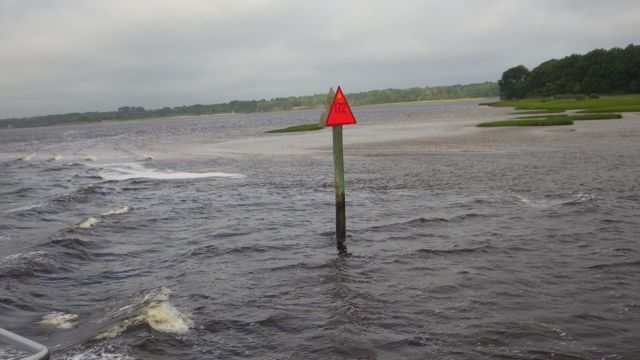
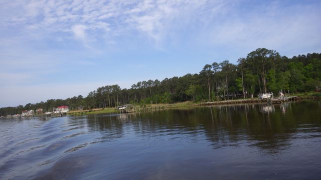
On the other side of this ICW canal is Adams Creek.  Does this look like a creek?  I thought it would be a small bubbling brook.  I wouldn’t be able to boat in a brook, right?  Why isn’t this called a river?  Looks like a river.  Acts like a river.  But a Creek it is.

9.21am Adams Creek  5-15-15

Entering Adams Creek


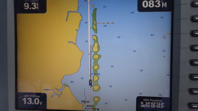
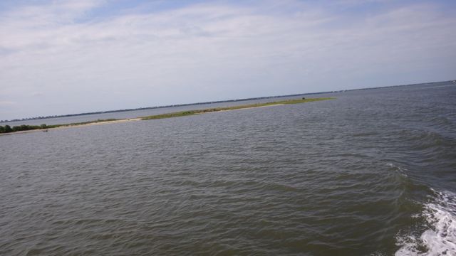
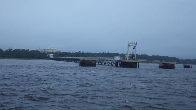
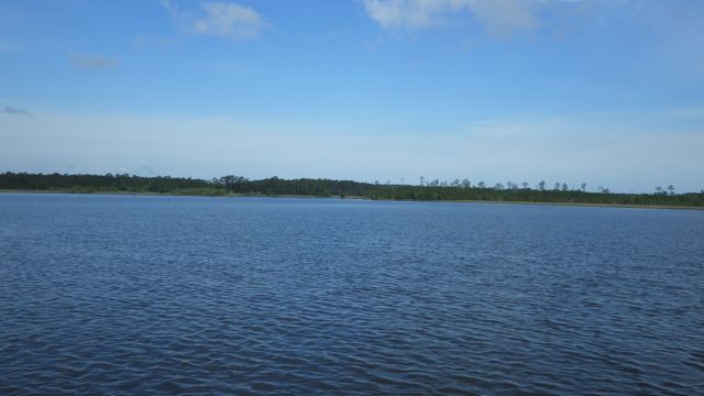
Adams Creek runs into Neuse River.  Now this is a RIVER!!  This river covers over 6,000 square miles with many tributaries emptying out into its basin.  It is brackish to fresh water as many ocean fish come into the Neuse River basin to spawn.  It is the longest river in NC.  We were warned to boat on the Neuse River carefully since high winds can create big waves and uncomfortable rides.  When we were crossing Neuse River, it looked more like a lake.  Makes sense when I found out that at the mouth of the river, it is over 6 miles wide.  Still, they call it a River.  ( Adams Creek is a creek, after all.)

9.32am leaving Adams Creek 5-15-15

Leaving Adams Creek into Neuse River

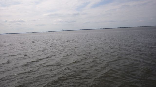
Reminds me of our Lake Okeechobee crossing with land in the distance.  Far away but still visible.

10.26am neuse river 5-15-15

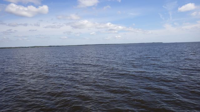
In the middle of Neuse River

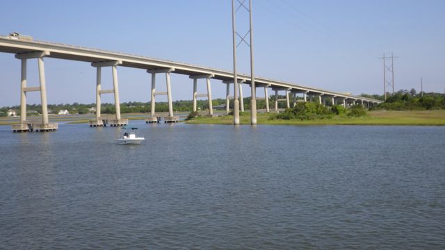
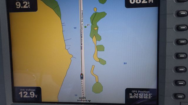
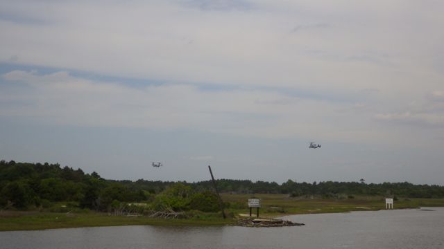
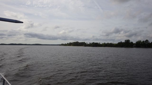
As we turn a corner in the Neuse River that is a obstruction not charted on our plotter.   One one each side of the channel.  This square box is camouflaged.  Who are they kidding? I hope the ducks bomb the poop out of these folks when they are sitting and waiting for hours.
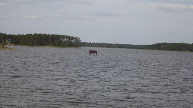
11.12am duck blind?  5-15-15

Duck Blind?


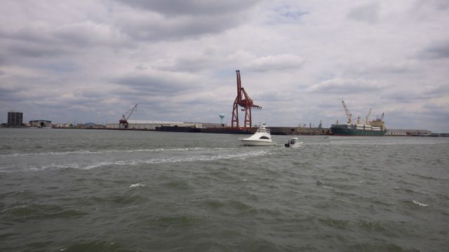
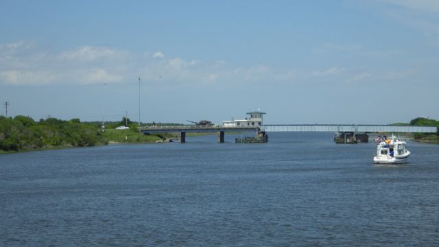
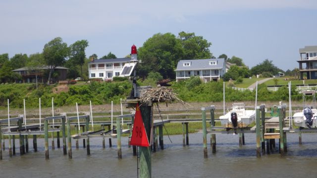
Just off the Neuse River and to the left ( port ) is the marina we are going to.  A thin canal connects the main body of water to a cove-like marina.  Very secure and peaceful.  Nice.  Isn’t this an impressive entrance?

11.24am entering River Dunes Marina - 5-15-15

Entering our Marina for the night


20.04 - 8.04pm sunset River Dunes Marina  5-15-15

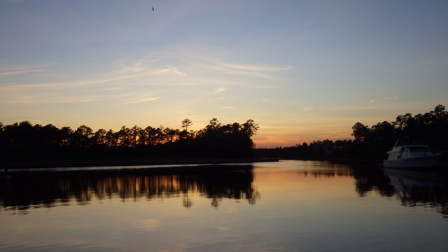
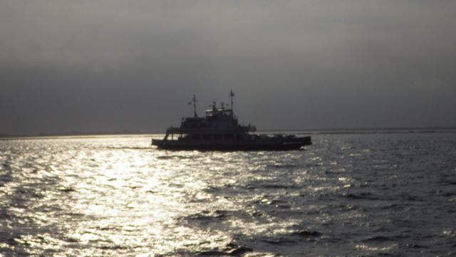
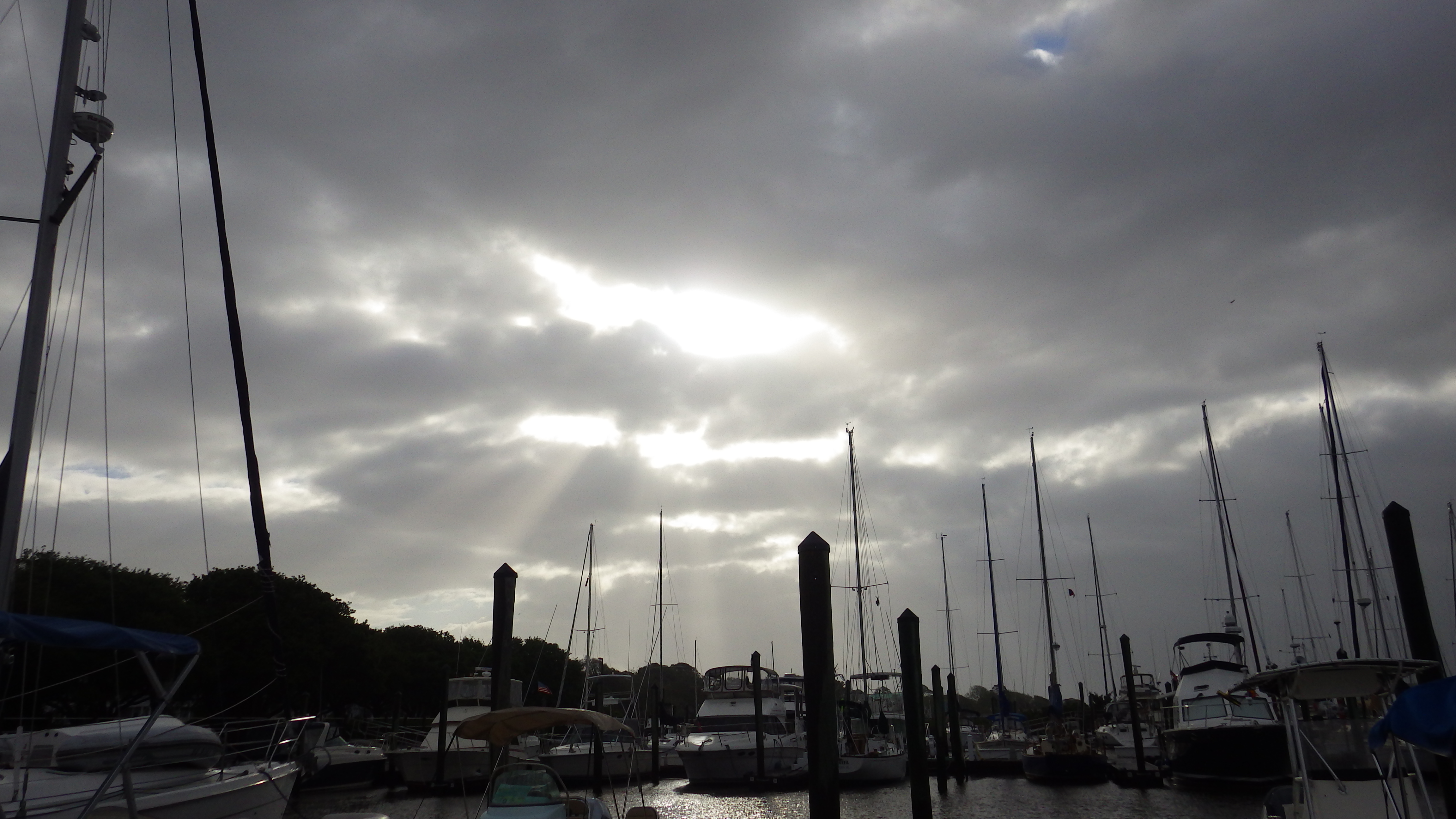
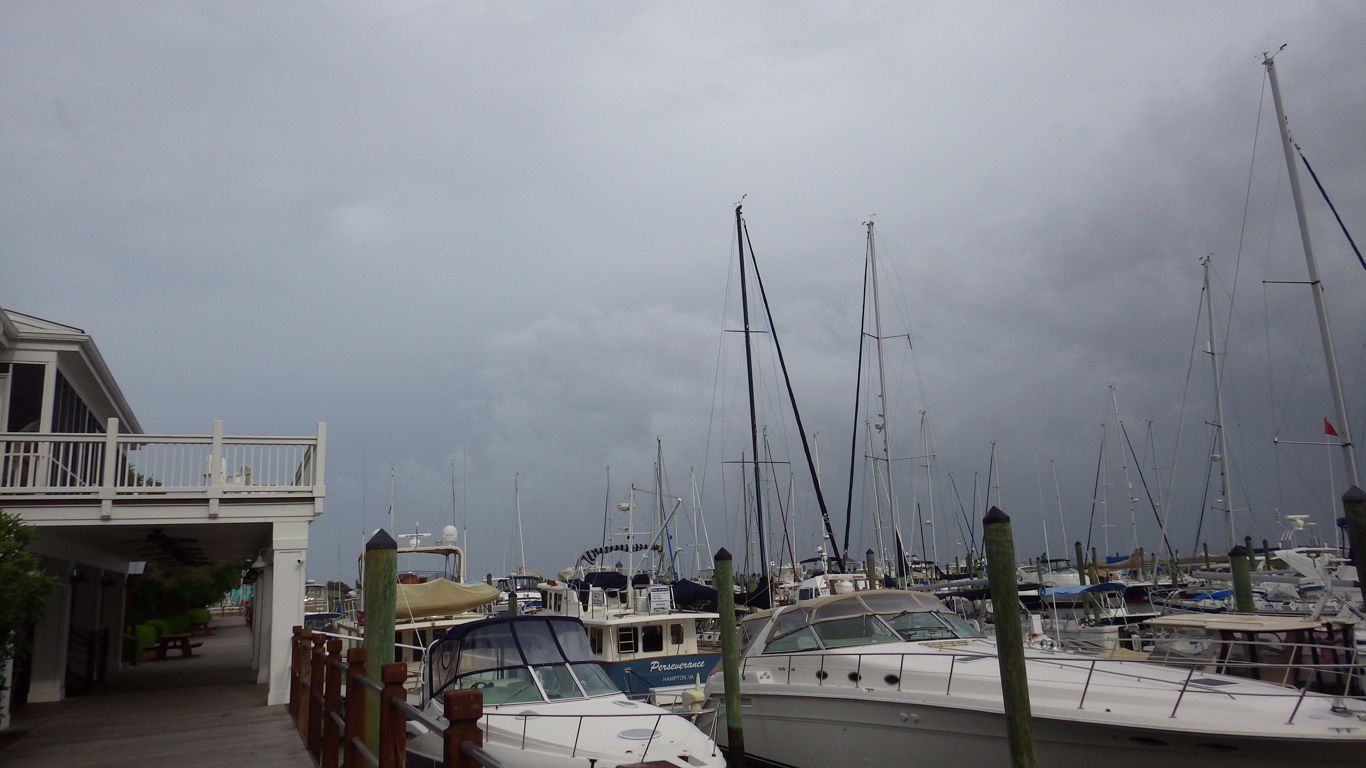
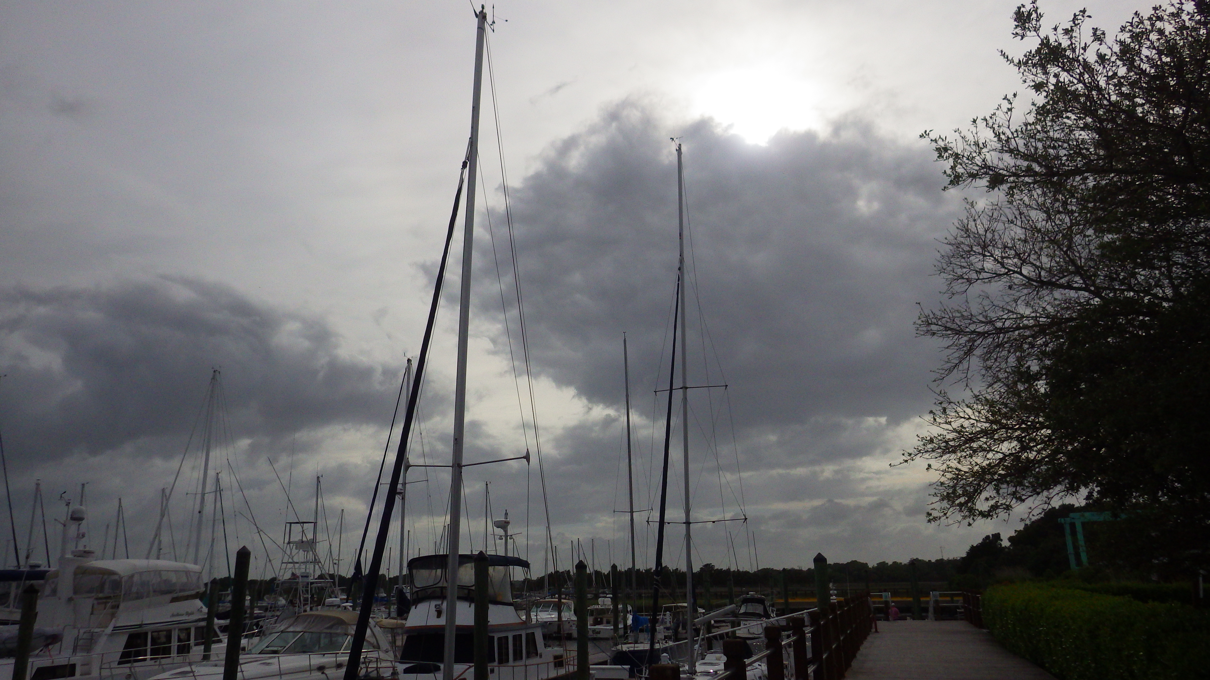
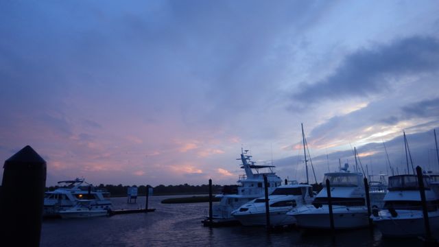
Sunset at River Dunes Marina, Oriental, NC


Posted in Looping | Leave a comment

May 14, 2015 – A side trip to Jarrett Bay Boat Yard, Beaufort, NC

The title sounds worse than it is.  Well, maybe.  We have had a recent intermittent problem with the Generator.  It would run for about an hour and then shut off.  No real reason that we could determine.  We changed the fuel filters figuring maybe some gunk got caught in the the fuel.  Wayne saw an advertisement in one of the guidebooks we have for the Jarrett Bay Boat Yard.  The full page ad said they were a authorized service company for Onan Generators.  Maybe they can find the problem.  We called this morning and they said if we could get there early afternoon they would check it out for us.  Yippee.

Luckily, this boat yard is on the way so it really isn’t a side trip after all.  Just an unscheduled stop.  We threw our lines in anticipation of another short day and hoping no more tanks would be blocking the roads.  😉

9.10am Leaving Harbour Village 5-14-15

Leaving Casper’s Marina in Swansboro, NC

Casper’s is right off the ICW so it was easy to get back on.  As if it were a “pull off” at a truck stop.  Very convenient.  The Dock Master came down and helped us with our lines as we cast off.  He was very kind in offering advise and we followed his lead.

Early morning boats heading out…

9.11am trawler - 5-14-15


The shore line looks pretty much like the shore line in South Carolina.  Don’t tell anyone, though.  I don’t know how touchy the North Carolinians are about this subject.

9.28am sunny - marsh - 5-14-15

North Carolina Shoreline


This morning’s bridge is over 65 feet tall.  No need to wait.  No way it would be able to open either.  It is a fixed bridge.  There are sail boats that might struggle during high tides with even these tall heights.  Around many of these bridges are fishermen.  We go slow so that we won’t rock them out of their little dinghies.  Don’t look now… More land gobblers!!

9.29am 1st 65 ft bridge 5-14-15


I thought you might like to see what the chart plotter shows us for this morning’s drive up the coast.  It looks like the ICW is sandwiched between the mainland and a bunch of small little islands or marsh plots.

10.04 am little islands -chart plotter  5-14-15

Chart Plotter

This is what we actually see at a falling tide.  Yep, little islands of a sort.  They are almost like pearls all strung together along this area.

10.05am - B little islands?  5-14-15

Islands??


When I was driving I was amazed that the chart plotter showed a similar bunch of marsh areas.

10.12am little islands - chart plotter - 5-14-15

Islands???


When I looked over to where they were supposed to be, I saw this:

10.12am where ?  5-14-15

Nothing here?!

This just tells me… don’t get too close to the blobs on the chart plotter because that land is just under the water.  We could get grounded for sure there!!  I don’t even see a bird walking.  Maybe this is where the dredgers dump the sand and whatnot when they clear the ICW channel.  What they take off the bottom of the channel has to go somewhere.  Hmmm.

Today’s travels takes us into the Morehead –  Beaufort, NC area.  The Port of Morehead City is right along the path we are going to take.  We go around the corner and north into Adam’s Creek canal.  It looks like it would be very congested with commercial boats, tugs, and the like with little ole’ us in the middle of it all.

Screen Shot 2015-05-15 at 9.58.01 PM

Morehead City and Beaufort, NC

We did see all the big heavy equipment for moving cargo on and off barges.

pssstttt…. you see that white tall fishing boat?  They got pulled over by the Port Authority ( the little boat nearby ) for driving too fast in a “no wake zone”.

11.28am port in Beaufort, NC  5-14-1 B

Morehead City Port


11.28am port in Beaufort, NC  5-14-1 D

11.34am barges beaufort, NC  5-14-15 B

11.40am stuff waiting 5-14-15


I don’t know what all the barges and stuff are.  They just look “Port-ish”.  What you would expect when folks are hauling stuff to and fro.  We didn’t have any trouble at all.  No commercial traffic running us over.  No little sail boats getting in the way.  The port authority folks were keeping a real good eye on all the traffic.  whew!!  easy peasy!

You could own a piece of this very exciting and busy waterway.  Of course, it looks like it would flood over with every tide.  But you could say you own land and sea!

11.45am property for sale 5-14-15

Property for sale


As we left the port area, here is a random boat just anchored out.  We figured he could, so why not?  I didn’t see anyone aboard.  Maybe they were napping.

12.07pm  sail boat  5-14-15

Just coming out of the boat yard we saw this boat.  Hopefully, they had a successful visit.

12.26pm Capt Ralph  5-14-15

Capt Ralph

We did have some issues with docking alongside the floating dock.  The current is really bad there and the wind wasn’t helping.  After 2 tries Wayne asked for another place.  We didn’t want to get too close to the $1million dollar boat that was docked.  The captain of that boat came out and stared at us while we struggled.  No pressure!

The dock master was able to get us into their basin.  This is a working boat yard and not really a marina.  We were amazed, though, that even before we successfully docked, a service technician was right there waiting to talk to Wayne about the issue.  Within an hour, the technician diagnosed the problem.  An emergency shutoff switch.  It got hot, thought there as a problem, and shut itself off.  Fascinating!!  The technician went to a local parts house and returned post-haste.  Within a total of 3 hours, the problem was troubleshot, identified, and fixed.  That is awesome!!  We were very impressed.  We left the generator running for more than an hour and had no problems.

I did have an evening shot from the last marina.

Posted in Looping | Leave a comment

May 13, 2015 – Up the road to Swansboro, NC

We threw the lines a bit late in the morning around 10am.  Another short day is planned.  38 miles which should take us 4-5 hours.  On the map below, we will be going from the area around “Top Sail” to the blue dot.

Screen Shot 2015-05-14 at 9.40.41 PM

Today’s Travel

A continual combination of homes on the ICW toward the west side of the channel and swamp or little islands to the east.  These strips of land help protect the travelers on the ICW but blocking some of the wind and waves from the Atlantic.

The first bridge that we will come to only opens on the hour.  We figured it would take about an hour from here to there.  That was confirmed by “Mike” as he helped us leave the dock.  Again, on his day off.  We really appreciated his help.

10.02am - ducks with youngs ones - 5-13-15

A family of ducks near the marina entrance – 2 baby chicks

10.05 am - harbour village sign - 5-13-14

Harbour Village Marina sign as we were leaving


Surf City Swing Bridge only opens “on the hour”.  If you miss the opening some boats have had to anchor or idle for that hour and just wait. The information we read is that this swing bridge is 12 ft tall.  We must have traveled at low tide.  There is a whopping 13 ft!!  Of course, we still had to wait for the top of the hour.  We only had to wait 10 -15 minutes, luckily.

11.04am - Surf City Swing Bridge - 5-13-15

Surf City Swing Bridge open


11.07am - surf city bridge water level - 5-13-15

Water level at the Surf City Bridge


Around midday, we saw this wowza house.  It is PINK.  It even has a pink little light house.  It is adorable.  Then I noticed a “for sale” sign.  You can own this little jewel!!  It looks like it is on an island.  More of a peninsula with water on 3 sides.

12.11pm - Pink house - for sale - 5-13-15

For Sale – the house on the ICW that is PINK!!


The big excitement for the day is driving by the “Camp Lejeune Live Firing Area”.  See the area on the map above?  When you approach this area, the sign will be flashing red and multiple guard boats will keep the area closed if actual live fire was occurring.  Cruisers are prohibited from traveling along the ICW during those live firing times.  What?  Live fire??  Not so much excitement then.  No live fire today.  I called yesterday and talked to a young man on the phone and it was confirmed that No Live Firing today.  We saw old equipment strewn along the islands.  Orange range markers or targets.

14.53 - 2.53pm - Camp LeJune warning 5-13-15

Warning Signal sign for “live fire”


There were an occasional supersonic plane going over.  Too fast for a photo.  These “Osprey” were hovering back and forth.  At first I thought they were helicopters.  I wasn’t really wrong.  These guys have 2 rotors.

13.23pm - planes - onslow bridge b 5-13-15


The second bridge we had to wait for opening on the Hour and Half Hour was the Onslow Bridge.  As we approached the bridge there were already 2 boats.  So, we thought we would only have another 10 minutes until the bridge opening.  Okay.  We slowed down and tried it idle in the current.  No problem.  Boy, were we wrong.

When the bridge didn’t open on time at the bottom of the hours, we became concerned.  It didn’t open for another 1.5 hours!!  Why??  It is a bizarre story.   We got the story from the bridge manager and the other boats.

14.17 - 2.17pm - tank being pulled across - 5-13-15

Tank finally being pulled from the right to the left


Apparently, a USMC tank started to go over the bridge and the transmission failed on it.  Another tank was brought in to retrieve the first one.  From my binoculars, I saw a dozen men standing around watching one or two men actually moving around.  A cable from the orange tank on the left was being pulled to the right.   We just couldn’t figure out what was going in.  I figured with all the men, why couldn’t they just pick the tank up and push it off the bridge?  Call Superman?  Captain America?  Get a bulldozer and push it off the bridge.  We thought the yellow tank was the tank in trouble.  We couldn’t see the tank behind the trees.  Why were all these men just standing around and not doing anything.  ugh!

Then, I saw a woman walk from the trees on the right across the bridge briskly to the yellow tank.  I told Wayne… “Now that a woman has showed up, we will finally see some action.”  Darned if we didn’t!  hahaha  The cable became taunt.  People moved out of the way.  Finally, we saw a brown camouflaged tank slowly being pulled across the bridge from right to left.

14.33 - 2.33pm - tank being pulled across 5-13-15

Tank almost all the way across


Just what did we do during that 1.5 hour?  More boats came up the river.  Soon there were over 10 boats idling, going in circles around each other, or going down stream turning around and doing it all over again.  The water depth in the perfect middle was 10ft.  On either side the depth go a bit shallow to 6 ft.  We draw 4.5 ft so having just 1 foot or so below our keel made us nervous.   Wayne had to move our boat from shore to shore, back and forth to keep Always Home in deep enough water, away from the other boats, and not get too close to the bridge.  So we all idled.  No where to go.

The bridge manager then let cars go across the bridge first.  Can you imagine having to wait for a couple of hours in your car?  I am sure the car drivers were as frustrated as we boaters.  The bridge manager then opened the bridge… not on the hour …. to let us all go through!  What a nice guy!

The wind was blowing pretty well 10 – 15 mph when we arrived at our destination.  An older marina with wooden fixed docks.  We were put on the face right along the ICW so we figured docking would be relatively easy.  There was a bit of a struggle to get us tied up due to the wind gusts and current flow. Three dock hands and plenty of lines helped get our Always Home docked safe and sound.  Whew.  Two sail boats that docked after us also had a difficult time.  The wind did die down and with less boaters on the water, the waves also became flatter.  We had a pretty peaceful night.

Somehow, I missed the sunset picture.  BUT, I did get this photo….

17.53 - 5.33pm - Woman walking a cat - 5-13-15

A woman walking her cat on a leash!!

Posted in Looping | 1 Comment

May 12, 2015 – A short day to Hampstead, NC

We left Southport Marina at first light.  The wind was low.  The tide was going out and the water was calm.  Wayne backed us out of the slip picture perfect!  Wonderful.  One of the dockhands helped with the lines.  Easy Peasy!!

7.13am leaving Southport Marina, NC - 5-12-15 copy

Leaving Southport Marina


We drove out of a protected little cove into the big Cape Fear River.  Isn’t that a name to chill your heart?

Google maps identifies this as Archer Daniels Midland.  We aren’t sure.  It is a massive dock that looks like it could load and unload materials all the way to the factory.  Looks like liquid through the white pipe.  I looks like at least a mile long.

7.38am to or from factory?  5-12-15

Terminal poking out into the river


Early morning car ferry.  Of course, the sun not being my friend so the picture is dark.  It was fully loaded with cars.  I assume the occupants were huddled in the enclosure sipping coffee and reading the morning newspaper.

7.54am carry ferry - 5-12-15

Car Ferry in the morning!


This boat was filled with Adventurers on the “Adventure”.  They did not wave back at us.  I wonder where this boat is going so early in the morning.  We didn’t see fishing gear out.

7.33am Adventure Boat passing 5-12-15

“Adventure” starting their day


We passed a rather long large military terminal.  “Restricted area”.  They even had watch towers located at several places.  Again, the charts said something about “Army”.  Google just identified it as a “military ocean terminal”.  Nothing to load or unload.  Just a long area that could handle many boats, cargo, or ships.

8.20am restricted area 5-12-15

Restricted area


Our day was a short one.  43 miles today.  Filled with skinny water.  We slalomed from side to side trying to constantly find deeper water.  See the sand bar right near one of the markers?  Of course, the tide was going out which would explain some of the low water.  The other explanation is that the sand moves around a lot because of the tides, inlets, and outlets around a number of small islands between us and the Atlantic.   We were in less than 6 feet often today.

8.38am sandy beach right - 5-12-15

Sandy area near the marker


This is the best shot I got.  We saw several markers with Osprey nests on them.  Must be a favorite place for them to raise their young.

12.19pm osprey nest 5-12-15

Osprey Nest –


As we approached one of the many bridges today, we noticed the erosion of the tree lined beach.  The trees have fallen over and are collecting on the shore.  So, the next really good high tide should pick these little babies up and move them down stream?  Wow!!  I don’t want to be on the river then.

8.52am trees falling over 5-12-15

River erosion


The ICW today was a mixture of houses and swamp.  We did enjoy watching these two dogs follow the kayaker.  After kayaker got into her boat, the dogs started to follow her into the water.  Then they ran up river and jumped into the water when she rounded the small docks.  We were not sure who was having more fun.  We vote the dogs!!

12.13 pm - kayaker and dogs  5-12-15

Dogs and the Kayaker


We found our marina for the night right off the ICW.  Mike the Harbor Master met us at he dock, took our lines and helped tie us up.  It was his day off so we really appreciated his help.  Even though it was a short day mile wise, we were worn out for watching the depth finder all day.  Where is the deep water?  From what I read and heard recently, the deep water is “right up the road.”

Sunset at Harbour Village 5-12-15

Sunset in Hampstead, NC


Posted in Looping | Leave a comment

May 11, 2015 – Southport, NC – Day 5 – Storm has come and gone!

Good morning!!  I am posting a few images of before and during our little tropical depression “Ana”.   By the way, these are supposed to be in color.  It looks like I shot these in black & white.  Fascinating times!

8.01am morning sun in Soutport, NC  5-9-15

Morning Sun May 9th –

17.39pm - 5.39 dark skies D  5-9-15

Dark skies to the east – May 9th

17.39pm - 5.39 dark skies C 5-9-15

Dark skies to the west – May 9th

17.39pm - 5.39 dark skies B 5-9-15

Southern view from our boat May 9th

We knew there was a disturbance to the south of us.  We thought that we would be able to move the boat with all the exceptionally great weather we had had – northward!  I found Southport Marina and it looked like a great place – a well sheltered cove in case the weather turned sour.  We chose well!

Wayne’s Niece once asked me “What will you do if a Hurricane comes along?”  I told her, “We will just move the boat to a safe location.”  Right?  Well, young Niece, it turned out we couldn’t just move the boat.  Once we got to Southport and we started attending the weather briefings from Hank, we figured out pretty quickly that moving the boat was not an option.  Already the winds and waves both in the rivers and off-shore were just too high for safe travels.  Waves off-shore got to be anywhere from 6 – 24 ft depending on the moment the buoys were checked.  Winds were sustaining…which means that the wind is constantly blowing around 20 mph.  Cool.  Then the gusts of 40 – 60mph would zip around the marina.  We could hear the wind move around the marina.  We had to wait for “Ana” to pass… slowly…but pass.  We have learned more about weather and forecasting than we ever thought we would in our life time.

That little blue dot?  That is where Southport, NC is located.

12.36pm STORM - crop top

Storm track – May 10th

We sat around reading books, surfed the net, updated the blog, watched TV and listened to the wind whistling through the sailboat rigging from the many sailboats close to us.  We heard strange noise of metal and wood grinding.  We heard boat canvas covers flapping so loud as if a door slammed shut every 10 seconds.  We heard our lines squeaking and groaning with the wind.  With any new weird sound, we were up looking out our windows…what could that be?  Great news.  No coconuts flying through the air!  You southern Floridians know what I mean.

Wayne says he is glad we secured the boat with multiple lines.  That lovely ladder I have mentioned more than once was taken up and stowed so that it wouldn’t get beaten up with the wind and dock movement.  We secured the boat as well as we could.

We both have been in high winds and rain during our youngster days living in Mobile and Miami.  Actually, Phoenix gets some really good winds from time to time…especially during the summer “monsoons” or their “haboobs”.

What is it like to be on a boat with sustaining winds of 30 mph to gusts over 60mph??  I know you want to know.  We heard the wind before we felt it.  It tumbled through the marina – wind flapping all of our eisenglass on our flybridge.  Whomp!  Fludder.  Whomp.  Fludder.  Silence.  Whomp.  Fludder.  Silence.  It is the silence that is more scary than the wind constantly hitting canvas.  You know?  For hours!!  For almost 48 hours.

The folks here have gone through this more than once.  You could tell by the casual nature of their preparation.  Also, the marina is in a cove.  Trees to the south protect the marina on it exposed side.  Well protected.  A perfect place to wait a wind/rain storm which turned out to be the first “tropical storm” of the 2015 Hurricane season?!!?

What did we do other than read, write, and watch TV?  What do You do during “tropical storms”?   We went to bed.  Being down in the master stateroom at the water level meant we really didn’t hear the wind.  We felt the boat move, but not overly rocking.  Actually, we slept pretty well.  An even rocking and rolling makes you think hammock?  Back and forth.  Zzzzzzzz   Sunday, Mother’s Day, continued with rain and more rain.  If you ever have lived through a hurricane or “depression” you know there is generally a lot of rain.

Wind tracks.  I love all the color!!  Isn’t this a great app??  The green lines are the wind speed.  Swirling around the low pressure.   We were north of the eye of the storm.  

2015-05-09 at 8.03.42 PM

Wind on May 9th

After 48 hours of wind and rain, the wind  calmed down.  Once the storm heads north, we shouldn’t travel north too fast or we will catch Ana’s tail.

This guy seems reasonably unfazed by all the recent events..

Mascot Black Cat - southport, nc  5-11-15

Marina Mascot

I spied color at sunset yesterday.  Want to see it?

Sunset Southport, NC - 5-10-15

Sunset at Southprot Marina, Southport, NC

OR tonight?

sunset 5-10-15

Sunset at Southport, NC

By the way… boats float.  We did good.  Always Home is awesome!!

Posted in Looping | Leave a comment