May 20, 2015 – Through the Great Dismal Swamp to Chesapeake, VA – 1

Today we plan on boating through the infamous Great Dismal Swamp Canal.

The Dismal Swamp Canal is famous because it was built by hand in the late 1700’s.  Historically, George Washington surveyed the area and thought it would be a great idea to drain the swamp, build a canal to connect Albemarle Sound and Chesapeak Sound, harvest the trees for lumber and then use the land for growing crops.  Sounds easily enough.  Unless you are one of the many slaves up to their waist in water digging out the canal.  The canal was finally completed in 1858.  The area was heavily logged until the 1950’s.  Eventually, the logging company donated their 49,00 acres to the Department of Interior in 1973, becoming the Great Dismal Swamp Wildlife Refuge.   The canal is the “oldest operating artificial canal in the United States” per wikipedia.

But, first we have to get up extra early to start our transit.  Elizabeth Bridge opens on demand before 7am and is closed from 7am – 9am for rush hour traffic.  We wanted to get a early start to our day so we can get across the “swamp” into VA before nightfall.  It is going to be sunny and cool all day.

5.49am - Sunrise Pelican Marina  5-20-15

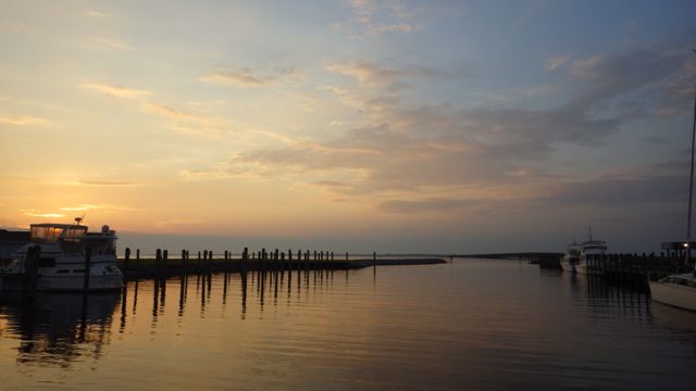
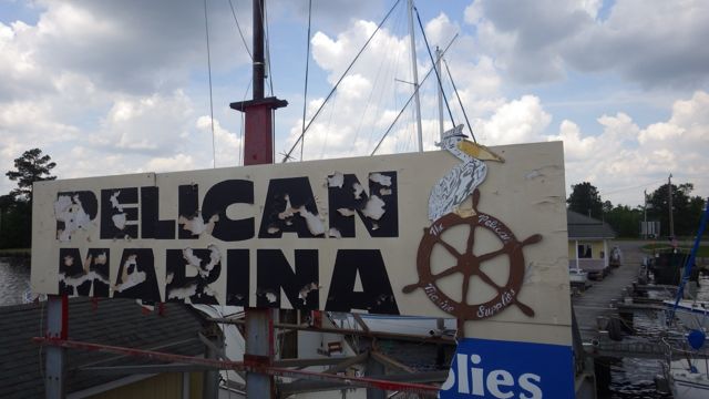
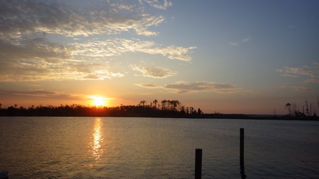
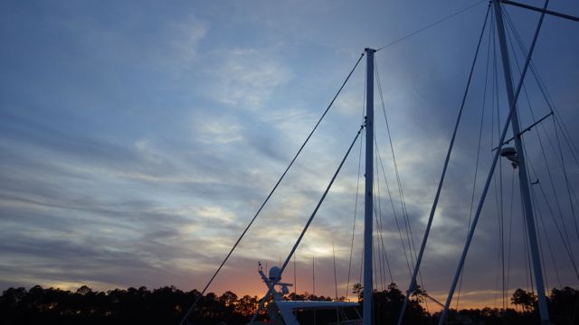
Sunrise at Pelican Marina, Elizabeth City, NC

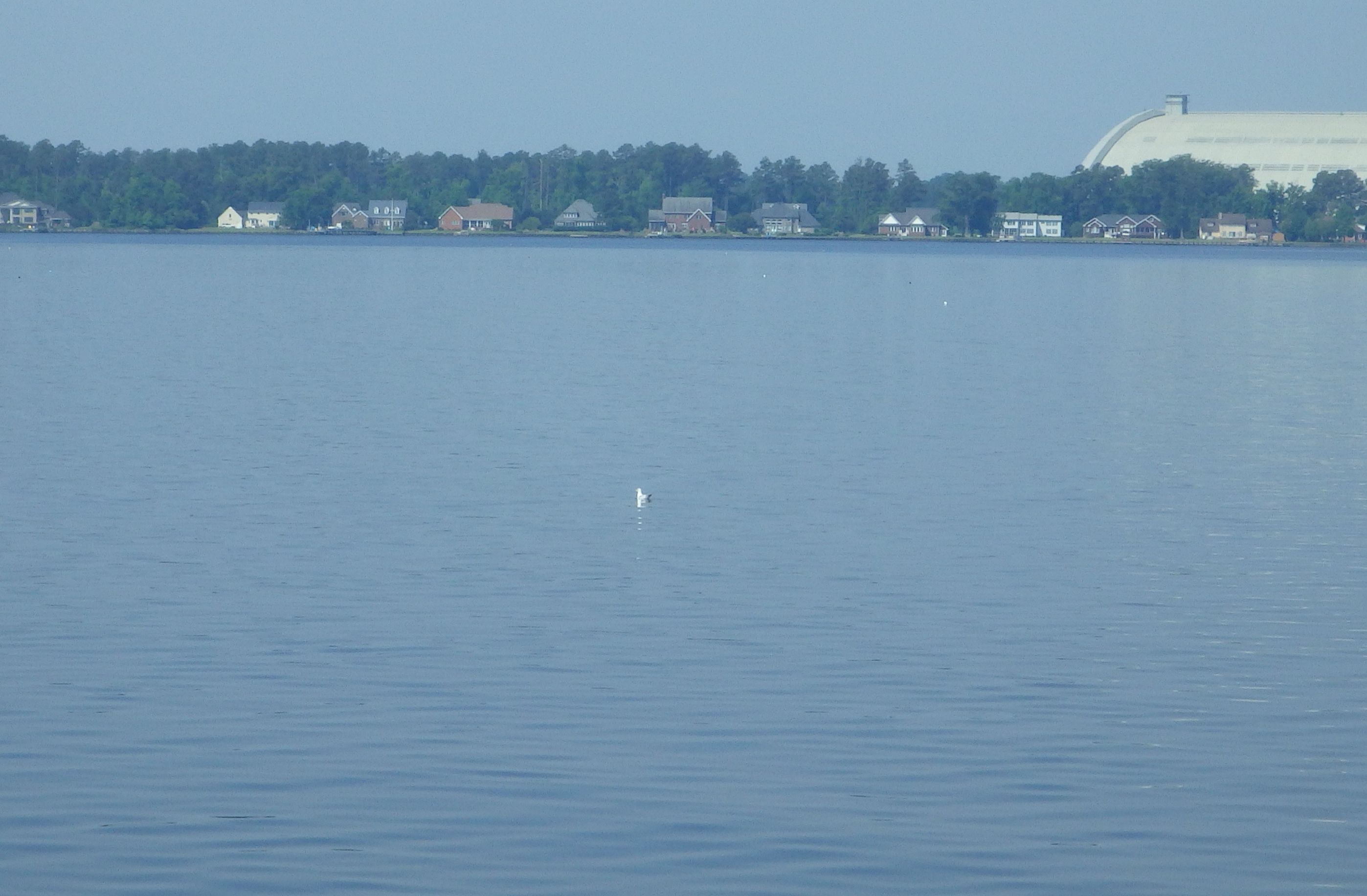
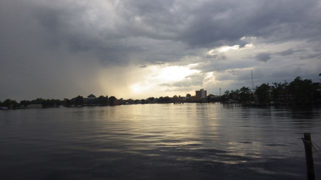
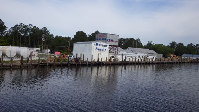
A Elizabeth City welcome sign.  We didn’t see much of the town due to the rain storm.  Maybe next time.  There are several ‘free walls’ that cruisers and sailors can dock for up to 48 hours.  If you don’t mind having no water or electricity, it is a neat idea for the city.  They get folks to drop by and hopefully spend some money in the town’s bars and shopping stores.

5.50am - Welcome to Elizabeth City - 5-20-15

5.52am - Elizabeth Downtown - 5-20-15

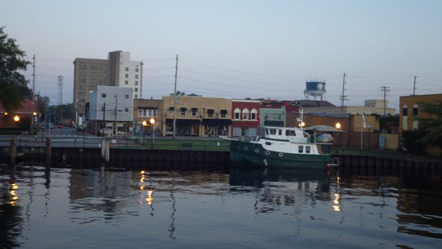
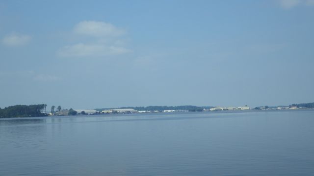
Downtown Elizabeth City


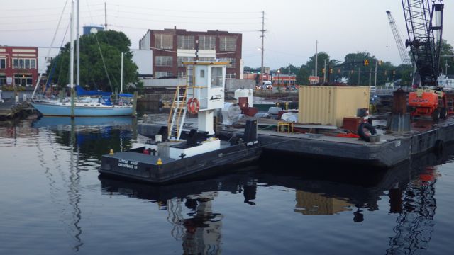
Before the bridge, we saw Little Mary tugboat waiting for her next load to push up and down the river.

5.54am - Little Mary Tug - 5-20-15

We had to call the bridge tender several times on the radio.  Wayne was ready to blow the boat horn but I stopped him.  Just too early to blast everyone awake!!  Can you imagine how loud a HORN would sound in the early quiet morning hours?  The bridge tender finally responded and he opened the bridge just for us!  How lucky we are!

5.53am - Bridge opening for us 5-20-15

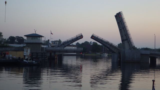
Elizabeth City Bridge at 5:53am


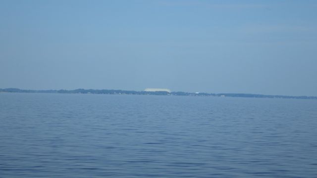
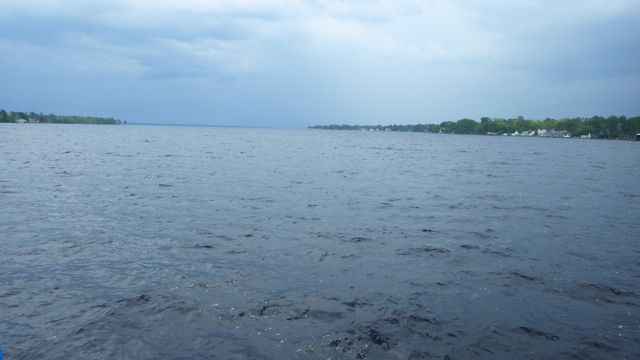
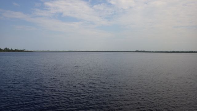
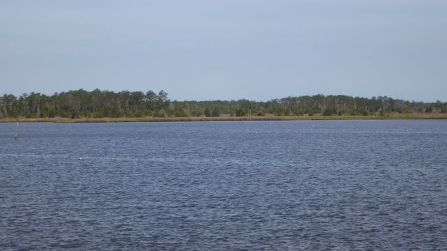
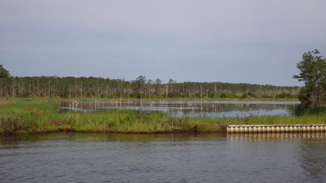
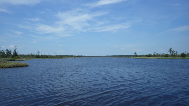
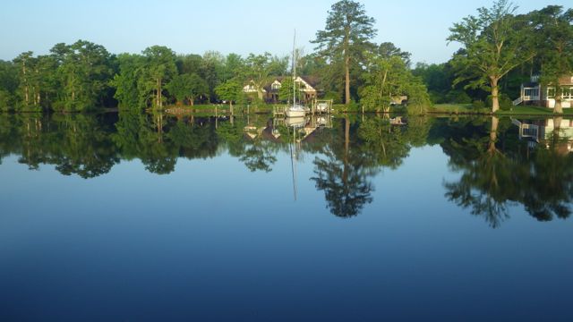
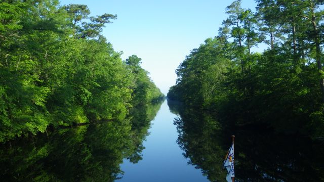
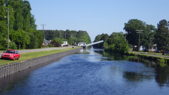
We are still in the Pasquotank River.  Isn’t it beautiful!?  We turned a corner on the river and saw what almost took our breath away, an awesome sunrise!  Even Wayne thought it was something special.

5.59am - sunrise! red sun  5-20-15


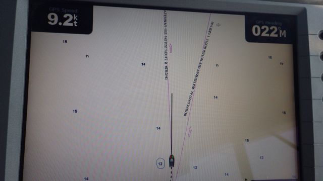
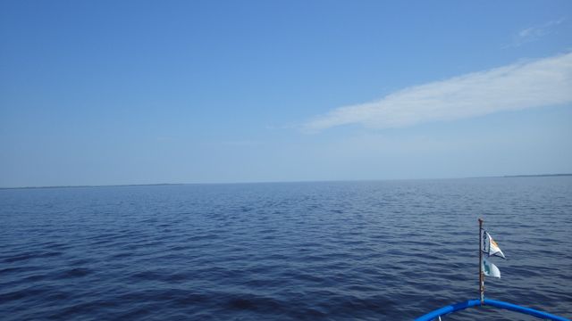
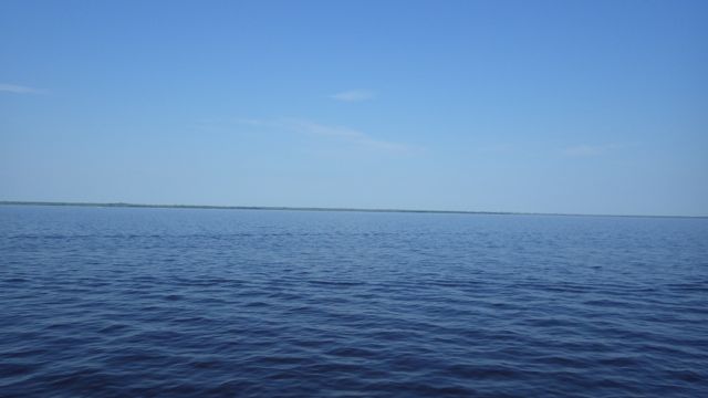
We quietly motored along.  It is over 20 miles to get to the actual Great Dismal Swamp.  The Pasquotank River is serpentine before and after the straight canal.  Another reason for getting up early is to be at the lock at their earliest opening of 8:30am.  We figured traveling at just under 10 miles per hour would mean that in 2 hours we would be there for the opening.  More about that later.   Hope you enjoy these reflections in the water.  We certainly did.

6.29am - water reflections  5-20-15

6.39am - boat refledtions  5-20-15 6.39am -House with reflections  5-20-15

Somewhere along this stretch of the Pasquotank River we saw our first eagle!!  Doesn’t he have a wonder place to play?

7.55am - into the canal  5-20-15

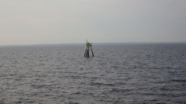
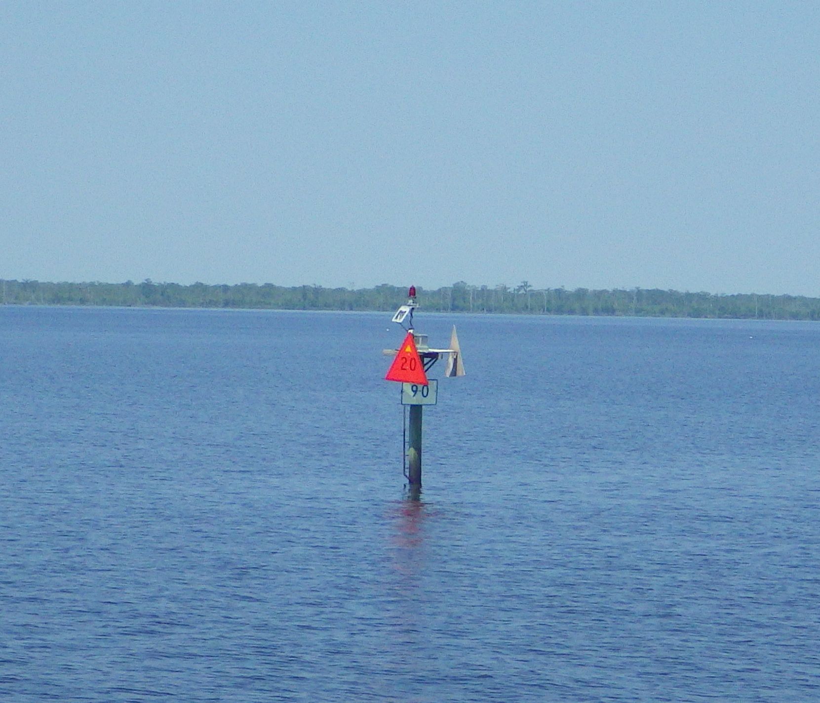
We are getting closer!  The waterway road sign directs you so folks don’t get lost.

8.24am - South Mills Lock road sign - 5-20-15

South Mills Lock Sign


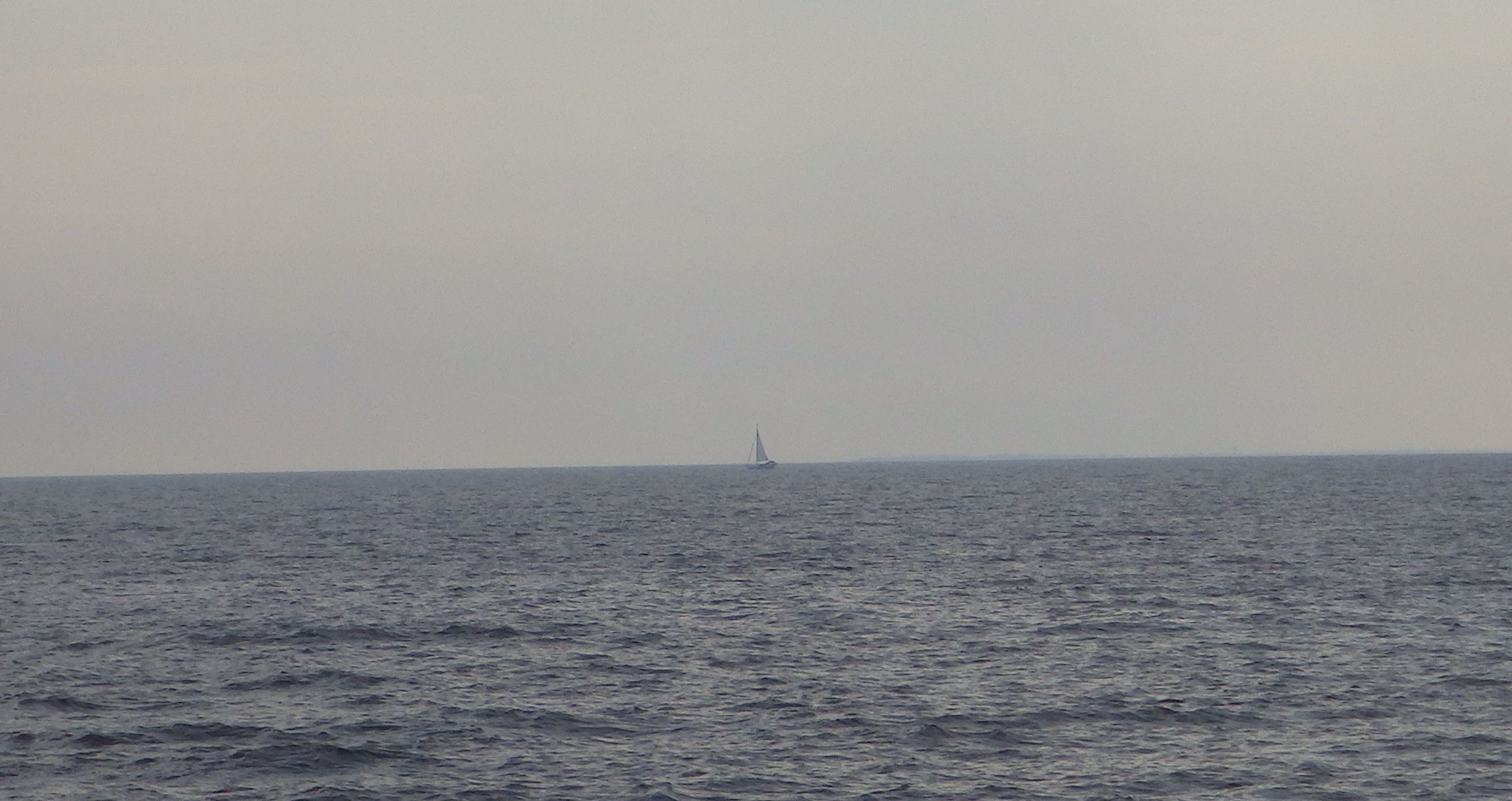
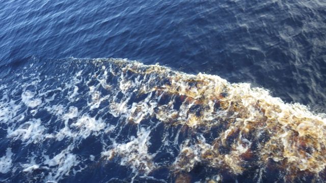
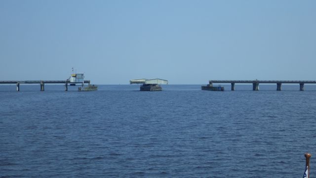
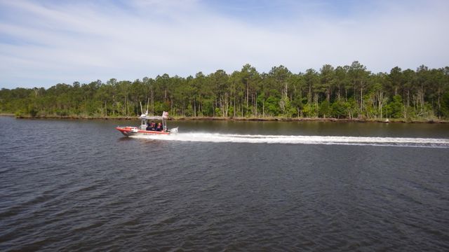
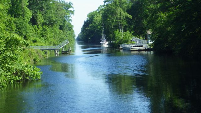
The Great Dismal Swamp Canal has a controlled depth of at least 6 ft.  The Corp of Engineers work really hard to keep the canal clear.  There are feeder ditches from area lakes as well as locks on both sides of the canal to regulate the water depth.  At about 8:10am I noticed a sail boat coming up fast behind us.  What?  Oh dear, we were so transfixed by the scenery going slow to take it all in that we forgot the time.  We increased our speed so as not to miss the 8:30am opening.  Oh dear!!

8.26am - South Mills lock   5-20-15

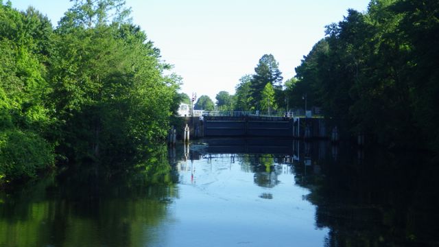
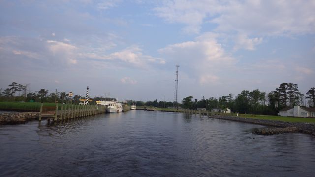
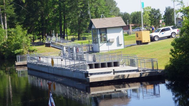
South Mills Lock at the southern end of the Dismal Swamp

The sail boat came up about 5 minutes afterward we got to the lock.  We told the Lock Master it was coming along.  We were all patient.  There was no southbound boats so we had all the time in the world.

8.42am - door closes behind 5-20-15

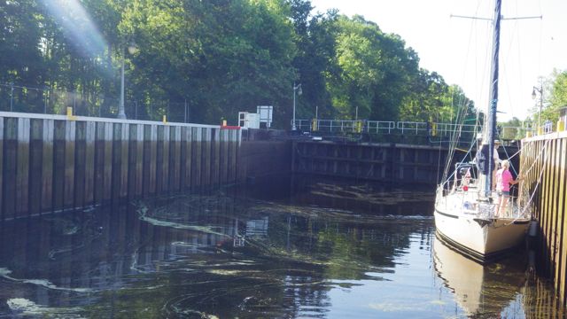
South Mills Lock – door closing us in.

We rose 6 feet in this lock.  Not too bad.  The Lock Master told us what to do and what to expect.  Pretty simple today.  He put us both on the non-turbulant side.

8.54am - now 6 ft taller - 5-20-15

The Lock is full and we are ready to go into the Swamp!

As soon as The “Lock Master” opens the lock, he jumps into his car becomes the “Bridge Tender” in transit.  He drives to the bridge and opens it.  How interesting!  The lock and bridge work in tandem.  One man doing 2 jobs!!

8.56am - leaving the South Mill Lock  5-20-15

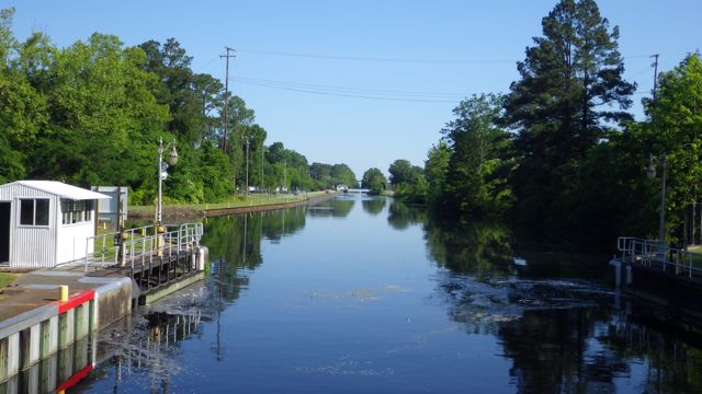
Leaving the South Mill Lock slowly…

8.59am - bridge opening for us  5-20-15

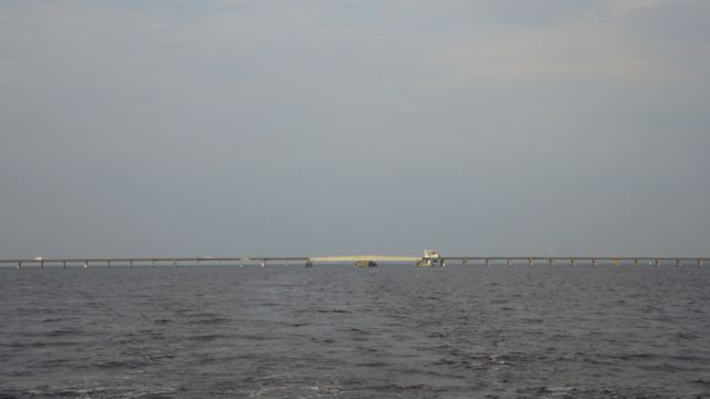
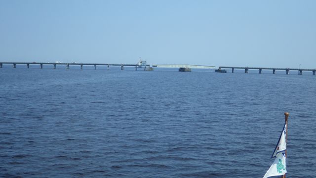
South Mills Bridge opens for us

Many folks elect to go the Route One through the Virginia Cut to Norfolk, VA because the Dismal Swamp Canal is shallow.  6 feet means without limbs, debris, or any other obstruction.  The Corp of Engineers try to keep the canal cleaned out, but oftentimes tree limbs fall into the water and sink.  If you motor slowly enough and you hit a limb it should gently go back to the bottom.  Generally, no harm to the boat.  If you have a deep draft, you might just not  be able to make it.  We had read many folks with almost 5 ft draft have no problem.  We were hoping the same for us.

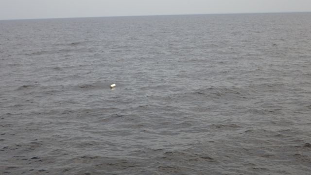
Ever vigilant is keeping our eyes peeled for deer, bear, snake, alligators, and other wildlife, we also were keeping our eyes peeled for water debris.

9.32am - log as we pass by - 5-20-15

Stump we motored by

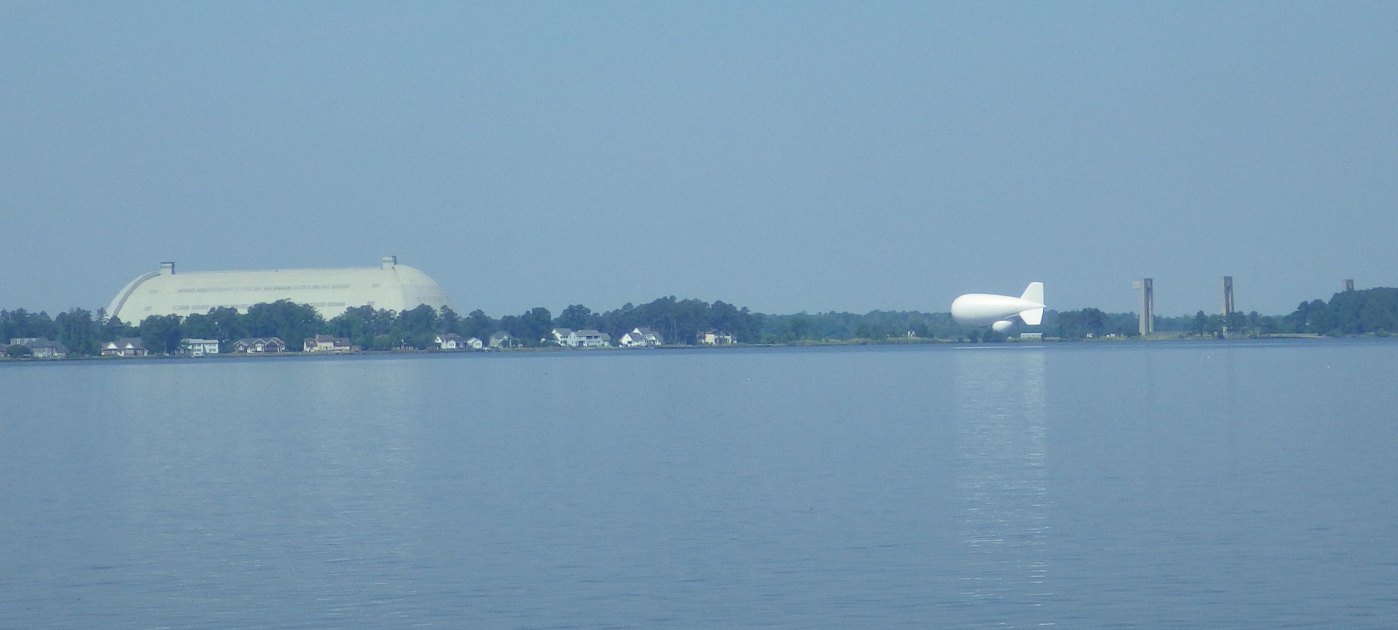
We approached the Great Dismal Swamp Visitor center.  It is a road-side park that happens to also manage the pontoon bridge we need to go through.  The Visitor center has some picnic tables, walking trails and historical information for the road warrior.  The pontoon bridge is to allow people to get over the canal to walk along one of their trails.

9.43am - vistor center bridge pantoon opens 5-20-15

The pontoon bridge swings open for us

9.43am - pntoon bridge closeup 5-20-15

Pontoon bridge pulled over to let us pass

9.44am - vistor center truck stop sign  5-20-15

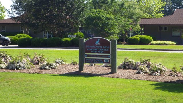
Dismal Swamp Visitor Center

The next posting will have the other half of our day’s trip!

Posted in Looping | Leave a comment

May 19, 2015 – from Columbus, NC to Elizabeth City, NC

Another beautiful day on the Loop!!

6.08am - sunrise - Alligator River  5-19-15

Sunrise at Alligator River Marina, Columbus, NC

We are going across the great and mysterious Albemarle Sound.  It is another one of those bodies of water that has it’s own weather forecast.  I have never heard of that before this journey.  Crossing Albemarle Sound can be ok or it can be quite treacherous.  We met some folks who mentioned boating across in 6 ft seas.  I don’t think the depth is more than 15ft.  We are planning on crossing today with 1 ft seas.

weather forcast for Albermarle

Weather forecast for the Albermarle Sound

Say goodbye to Alligator River Marina and Truck Stop!

7.42am - leaving Alligatory River 5-19-15

Leaving Alligator River Marina

We navigated between the markers and the crab pots and gently swung back into the channel.

7.53am - leaving Swing Bridge behind - 5-19-15

We tip our hat at the Alligator River Swing Bridge

Out into the Albemarle Sound, we got gently rolling water.  I don’t know if it is 1 ft waves.    Approximately 5 miles from the Alligator River Marina is the big decision point.  Do you go left to Elizabeth City and the Dismal Swamp Canal to Norfolk?  OR Do you take the right path to the Virginia Cut Canal to Norfolk?

8.23am - decision point - dismal swamp or 5-19-15

Decision Point…. coming up…which way do we go?

What is the difference between the two paths?  The Virginia Cut goes toward the Atlantic.  More boats, faster boats, more boat traffic.  The marina that everyone stops at “Coinjock” where they pack boats in like sardines.  Coinjock is known for their steaks.  Gotta stop there at least once to experience it all.  Another Sound or two and just busy water.

We decided to go to the Dismal Swamp route.  From what we have heard and seen, it is slower, quieter, and beautiful.  We shall see tomorrow.  Today, we just have to get across the Albemarle Sound.

8,26am - decision made route 2 - 5-19-15

Decision Made – Route 2 – Dismal Swamp


We scanned the waters and saw a sail boat to the right of us.  Not many boats on the water.

9.01am - crop - they took other path sail boat - 5-19-15

Sail Boat taking the Virginia Cut path

The other notables for the Albemarle Sound is the numerous crab pots.  Since it isn’t that deep all across the water, many crabbers put their cages and buoys everywhere.  Most of the buoys are out of the channel.  Not all.  I had the binoculars out scanning the water as Wayne drove the boat.  “Crab pot to the starboard.” “Where?”  “Over there …the orange one!”  “I see it.”  Then Wayne would steer one way or the other to miss them.  All morning long.

I got tired of calling them crab pots so I changed my name for them … I started calling them “daubers”.   “Daubers to the right.”  “Red dauber to the port.”  “Black dauber right there!!!!”.  Just easier to say and seemed to fit for my simple mind.

I found a picture of Daubers.  Imagine the cotton tip as the buoy sticking up out of the water.  The lid as the crab cage down under the water.  Kind of fits.

Screen Shot 2015-05-19 at 7.39.38 PM

Daubers


Thus, daubers became my term became the norm for the rest of the morning.  We saw white, orange, blue and green daubers.  And a few black daubers were really hard to see.

8.47am - white crab pot - 5-19-15

White Crab Pot Buoy

8.58am - green crap pot - 5-19-15

Green Crab Pot Buoy


In the middle of the Albemarle Sound.  Sound?  Lake?  Lots of water!!

8.53am - nothing but water!!  5-19-15

In the middle of the Albermarle Sound

1 foot seas?  We rolled side to side somewhat.  Back and forth rather than up and down with a hard slap.  It was ok for me until I went down in the galley to make some sandwiches for Wayne and I.  He drove around some daubers and the boat rolled more than I had expected.  Before I knew it, my stomach got a bit nauseous.  I got back up to the fly bridge, sat down in the wind, and took a breath.  All was fine again in my middle ear!

It took us about a hour and a half to cross the sound.  Then we entered Pasquotank River and the water calmed down immediately!  We got across the Albemarle Sound in one piece!!  Yea!!  A good day.

10.18am - crossed Abermrle sound - flat water - 5-19-15

Across the Abermarle Sound and into the flat water

FLAT water!!  This river might be rough sometimes, but today?  Wonderful!  So flat that it is easy to see this is not a dauber.  Soon you, too, will become expert in knowing the difference!

10.35am - crop - not a crab pot - 5-19-15

A Bird!

You see that large white rounding building behind the bird?  We have been watching it as we came into the Pasquotank River.  This is a distance shot.  What do YOU think it could be?

10.18am - large white building ahead 5-19-15


It took us a while till we got closer.  It is “Tcom”.  An Airship company.  You can see one of the airships.  We couldn’t tell if this is a model or an actual ship.  Their website says they are “the proven global leader for innovative, cost-effective Airborne Persistent Surveillance solutions protecting national security in the world’s most demanding operations environments”.

10.34am - air ship compare after cropping 5-19-15

Airship company

We assume the large building to the left of the white airship is the manufacturing, service hanger.  Nice picture of the huge airship.

Up the river is a Coast Guard Air Base.  We saw 2 helicopters flying around.

10.55am - coast guard air base - 5-19-15

Coast Guard Air Base


Finally, we are at the Pelican Marina in Elizabeth City, NC.  We seem to be the largest boat at the dock.  The sign looks like it has seen better days.  The dock master said, “you see the dilapidated sign?  That is where you will tie up for the night.”  

13.15 - 1.15pm - Pelican Marina - 5-19-15

Pelican Marina

I wanted to get across the sound early because an afternoon storm was forecasted.

15.42 - 3.42pm - storm coming - 5-19-15

Storm coming…

15.43 - 3.43pm - wave kicking up with storm 5-19-15

Storm getting closer


We had a few rain drops.  A bit of wind.  But nothing we couldn’t handle.  Everything settled down to a quiet night on the water.

18.50 - 6.50pm - almost sunset 5-19-15

Almost Sunset looking across the Pasquotank River

19.57 - 7.57pm - sunset  Pelican Marina 5-19-15

Sunset at Pelican Marina, Elizabeth City, NC

A wonderful day!  By the way, we have traveled 1,111 miles since our journey on the Loop started.


Posted in Looping | Leave a comment

May 18, 2015 – from Belhaven, NC to Columbus, NC

Good morning!  A bright sunshiny day to you all!!

6.13am sunrise at Dowry Creek 5-18-15

Sunrise at Dowry Creek Marina, Belhaven, NC

Today we are traveling 48 miles from Dowry Creek Marina in Belhaven, NC to Alligator River Marina in Columbus, NC.  We are planning to travel up the Pungo River through the Alligator-Pungo Canal and into the Alligator River.  The most challenging part of the day is the water, wind, and getting to the other side of the Alligator Bridge.  We are expecting  “light chop” on the river and winds <10knots.  A very nice day on the water!

7.12am leaving Dowry Creek  5-18-15

Leaving Dowry Creek Marina.


Our landscape alternated from very plush green

9.05am plush landscape 5-18-15

Landscape to the port ( left ) side of the boat


To flat and burned looking

9.05am landscape  5-18-15

Landscape to the starboard ( right )

Parts of this area had a bad fire several years back.  Nature is reclaiming and regrowing itself back to health.  We discovered that we were traveling through 3 different Wildlife Preserves.  Very nice to have this land stay natural.  The Pocosin Lakes National Wildlife Refuge, Emily and Richard Preyer Buckridge Reserve and the Alligator River National Wildlife Refuge.  This explains all the trees and few houses.

1

Today’s travel

We were told to be on the lookout for deer and maybe even black bears swimming across the canal.  Many have seen snakes and an occasional alligator.  We did not see any of these we are sorry to say.  We were hoping for deer at least.  No snakes, thank you.

The water is filled with tannins.  But exceptionally clear.

10.02 clear tannin water  5-18-15

Clear brown water


By 10am we were out of the canal and into the Alligator River.  Looks pretty flat and calm to me.  We were still going east and I wasn’t sure what would happen when we turned north into the wind.  The winds were supposed to be coming from the NE.  Does that make the waves higher or shorter when you are traveling north as well?

10.02 flat water - cloudy skies  5-18-15

Flat Water and cloudy skies

10.02 flat water  5-18-15

Still flat water


Turning North put us into the wind a bit.  Some rolling water but not uncomfortable.  I guess that would be a light chop.  Alligator River has its own marine forecast.  Really.

10.59 am turning north up Alligator river  5-18-15

Turning north up the Alligator River

10.58 am turning north up Alligator river  5-18-15

A bit more “chop”


I lost cell phone access for about a hour.  No close towns or cell phone antennas out in the middle of Alligator River.  No need, really.  We use our Verizon Cell service for our “surfing the web” as well as phone and texting.  I guess we just had to survive … somehow …. alone … on the water …. all by ourselves.

11.18am  finally cell phone service again 5-18-15

Cell Phone Service restored!

As you can see, absolutely no one on the river with us.  Fascinating!

Since we are out in the middle of a large river, I am sure you wanted to know … just how do you know where you are??  GPS helps.  The chart plotter and charts have “mile markers” on them to give you an idea.  If you look closely, you will notice at the “SM90” near the tip of the pointer ahead of the boat icon.  SM is ‘statue mile’.

11.25am SM90 on the chartplotter  5-18-15

Mile Marker 90 on the chart plotter

Also, believe it or not, there are signs that also tell us.   When I looked out as we approached the channel marker, I saw the 90.  Right on!  I know where I am!

11.30am -cropped-SM90 sign in the middle of a large river  5-18-15

Mile Marker 90


We picked a light chop day with low winds because the Alligator Swing Bridge will not open AT ALL if the wind gusts get over 30 knots.  It was built in 1960 and is almost 3 miles long.  If the bridge tender doesn’t open the bridge for wind/weather concerns, we have very little recourse.  We could try to find anchorage OR go back the way we came to the closest marina.  Picking a good day to get through this bridge seems important, don’t you think?

11.58am swing bridge over the alligator river  5-18-15

Alligator Bridge still closed


The bridge stopped traffic and let us through!  We noticed the car drivers actually get out of their cars and wander about.  As if this whole bridge opening was going to take hours.  We only took 10 minutes going through slowly as all the signs suggested.

11.59am - opens just for us  - 5-18-15

Alligator Swing Bridge opens just for us!


Our target marina is the Alligator River Marina.  It is at a critical place within the ICW route.  IF you don’t stop here you have to go all the way across the Albemarle Sound to the next marina or anchorages.  That adds an additional  30-35 miles to the day.  That is not just a 30 minute ride by car.  This 30 -35 miles adds another 3-5 hours on the water.  After spending 5 hours already, that additional time seems daunting.  But doable.  Lots of folks elect to continue to the next stop.  We just felt that with the weather possibly turning nasty, why push it.

We went through the bridge and then got confused.  Where is this marina??  Right at the western edge along the bridge.  We had to dodge a bunch of crab pots to find the right channel to get into the marina.  We fueled up and Wayne backed us into our side dock for the night.  Wayne expertly backed us into our slip.  He remarked later… this is only the second time he has ever backed up the boat.  The dock master had no clue since Wayne handled the boat perfectly.  A natural, I say!!

13.33pm - 1.33pm - shell station - alligator river marina  5-18-15

Alligator River Shell Gas Station and Marina


I asked the marina owner about the lighthouse that is perched at the front of the marina.  It no longer works.  It used to before a big storm came by and shattered the windows up top.  It was a Christmas gift from her husband.  How about that?!  A lighthouse.

13.34 - 1.34pm lighthouse at alligator river marina - 5-18-15

Lighthouse Gift

The Alligator River Marina is also a “Truck Stop” or gas station with convenience store and short order grill known locally for their handmade breakfast biscuits.   The sign says “World Acclaimed” so it must be true.

13.35 - 1.35pm world acclaimed hamburgers - alligator river marina - 5-18-15

World Acclaimed Hamburgers

We don’t know.  We stayed on board and fixed a delightful sausage, onion, potato, squash with scramble eggs single skillet dinner.

My evening ended watching a hummingbird feed on the owners water.  The bird darted back and forth between two feeders.  I couldn’t get a picture fast enough.

We were expecting some rain.  The weather forecast evening showers till early morning.  No sunset picture.  We got some rain drops but nothing serious.  Maybe later tonight.

sunset 7.45pm Alligator River Marina - 5-18-15

Sunset at Alligator River Marina


Posted in Looping | Leave a comment

May 17, 2015 – from Oriental, NC to Belhaven, NC

We woke up to calm winds, calm water, and beautiful sunshine.  We are refreshed and ready to to Belhaven, NC.  Crew from the s/v Sheba Moon helped with our lines.  We appreciate any and all help.

7.22 am - leaving River dunes 5-1715

Leaving River Dunes Marina, Oriental, NC

One interesting side note for this Loop trip is learning geography just a bit better than I knew it before.  Actually, a lot better.  When I told my sibling I was in Oriental, NC , he said, “I don’t know where that is.”  “Near the coast…since we are in a boat.”  “Ah…. makes sense.”  I know this won’t make it any simpler, but this is the route for today.  If you need more information, look it up!  Google knows everything!

yeaterday

Route from Oriental, NC to Belhaven, NC

We are going from large river through a small canal to large river again.  The Pamlico River is the first of 3 large rivers we will need to navigate in the next several days.  The Marine forecast mentions the River’s conditions.  Sentences like :  winds 10-15 knots. Waves 2-3ft.  That sounds doable.  Unless you are in a boat bobbing up and down in those 2-3 ft waves.  Luckily, for today, the winds and water demons are playing somewhere else.  We are expecting “light chop”.   We don’t know, yet, what “light chop” means.  Versus “Moderate chop”.  All these very technical nautical terms.  😉

7.29am - entering Waterway 5-17-15

Back into Pamlico Sound

Wave hello to the first barge of the day.  Are they waving back?

9.03am - Island Pilot - first barge in the morning! 5-17-15

Island Pilot


A plague to many recreational boaters or cruisers are crab pots.  Not the cages, per se. Floating markers that act as buoys.   They are difficult to see and sometimes stray into our channel.  I have mentioned it before having the rope from the markers get tied up in our propellers would be a bad thing to happen.   There are at least a dozen in the picture.  But not all of the little white / orange dots are crab pot markers.  Some are birds!  How do we know the difference?  We don’t until we either get closer or they up and fly away!

9.10am - crab pots  - 5-17-15

Crab pots


As we rounded a corner in the Bay River Inlet, I saw this house all by itself.  It looks like an early homestead with the outbuildings, boats, and trees in the right places.  The only thing missing is laundry flapping in the breeze.  Almost picture perfect.  A pristine setting.

9.12am - nice little homestead - 5-17-15

At the intersection of the ICW and Jones Bay, we may expect “strong current”.  Just had to get a picture of that.  Ok, by the charts, it looked more imposing.  By the maps, it is at the front of Jones Bay that eventually opens up into a larger body of water.

9.16am - Jones Bay  5-17-15

Jones Bay intersection


Near this intersection of Jones Bay and the ICW we see a small boat with blue flashing lights coming toward us.  “What did you do, Wayne?”  “I didn’t do anything!”.  Right.  We all get nervous when you see lights flashing.  This boat looked like it had several young people.  Coast Guard Boat.  They waved.  We waved.  We don’t know if they were racing off to help locate the “inner tube with 2 people on it lost off the coast” or just racing for donuts.  BTW – the 2 people were found and everything is ok said the USCG broadcast a few minutes later.   The second thing we were wondering was where did these guys come from?

9.21am - coast guard boat passing us - 5-17 -15

Coast Guard flashing blue lights passing us by


I found the stumps I was looking for…

9.22am - stumps!!  5-17-15

Stumps!


Hobucken Bridge is just up ahead.  No problem for us this morning since it is over 60ft tall.  Yes, there are people here near the bridge.  Or just empty chairs holding fishing poles. What do the chairs do if a fish bites?  I know there is a smart aleck answer for this question.  Anyone?

9.26am - chairs with no people - 5-17 -15

Fishing Chairs


Maybe someone working at this place will have a clue.  Seems like a pretty big operations in the middle of a canal.  Whom do they service?

9.26am - Re MAyo marine center - 5-17 -15

RE Mayo marine center

Of course they do!!  Fishing Boats!!  Nice looking ones.

9.27am - fiahing boat by RE MAYO - 5-17 -15 9.28am - fiahing boat by RE MAYO - 5-17 -15


Right after the bridge is the Hobucken Coast Guard Station!!  This has got to be the place where that CG boat came from.

9.29am - coast guard station - Hobucken - 5-17-15 B

Hobucken Coast Guard Station


When we entered the Pamlico Sound we saw this nice looking sail boat going south.  Double mast.  Too bad it didn’t have all its sails up.  Nice looking classic boat.  We were actually surprised to see sail boats heading south.  More so than heading north.  Wonder where they are going?  Bahamas?  Cuba?  Or where ever the wind takes them?

10.55am - sail boat 5-17-15

Classic looking sail boat


We were early getting to the marina for the night.  No problems docking with little wind and little current.  Right off the Pungo River is the Dowry Creek Marina in Belhaven, NC.  Belhaven was having a Buccaneer Festival and we missed it.  This marina is far more quiet and to our liking.  What about this view?

14.06 - 2.06pm outside my back door - 5-17-15

Outside our back door

We were early enough so that we could run a couple of quick errands in town.  We borrowed the courtesy car for our quick trip.  Wayne had to initial a waver stating that he would not run over or into any deer or bear on the way to town.  Seriously.

The owner told me that the “windows don’t work but the AC does”.  Well, when you borrow a “courtesy car” sometimes they aren’t the best in the world.  At least the floorboard was solid.  The car shook and rattled.  The outside temperatures we approaching 85°F which meant the inside of the car was over 90°F.  The windows didn’t work.  Wayne asked me to open my car door to get some air since the AC really didn’t work but he didn’t really want to risk me falling out. 😉  I am the “navigator” and he might get lost in the Atlantic without me.

Wayne kept fiddling with the nobs hoping to make them work.  The oil light was on.  The brake light was on – Wayne pulled the brake release 3 times but the light never went out.  As I chuckled about the car, I didn’t want to miss seeing the area around Belhaven.  It looks mostly agricultural.  Fields planted or waiting to plant.  Acres and space between houses.  Rural and quiet.

14.56 - 2.56pm - fields - 5-17-15  15.03 - 3.03pm - fields - 5-17-15

This marina also has a swimming pool.  A boaters lounge with a pool table.  The Husband and Wife owners host a “get together” most nights in the boaters lounge.  Bring your own liquid refreshment and some kind of snack to share, if you can.

14.23 - 2.23pm - wine tree 5-17-15

Wine Bottle Tree

We enjoyed meeting the other boaters that had docked throughout the afternoon. I missed the sunset picture.  This is good, though.

14.22 - 2.22pm - Dowry Creek Marina

Dowry Creek Marina

Posted in Looping | Leave a comment

May 16, 2015 – Another day in Paradise. Oriental, NC

We decided to stay another day in River Dunes Marina in Oriental, NC.  We borrowed their courtesy car and found the nearby Walmart Express and “provisioned up”.  It took longer to get to the store and back than it did to do our shopping.  Of course, I bought wholesome stuff like salad and sandwich meats.  Wayne threw in the Pringles and cookies.  Yes.  All are called “provisions“.

This marina is away from the actual town of Oriental.  This is a beautiful almost resort-like marina.  New homes are being built in a planned community setting.

6.38am - River dunes building 5-17-15

Main building at River Dunes Marina

Hot steam showers ( although we couldn’t actually find the cold water to cool off), swimming pool and other amenities.   A restaurant that takes reservations only.  We ate in as always.  Very nice cruisers lounge with large TV, free coffee in the morning, and work out room.  All the amenities of a high end resort.   Very nice.

6.36am - kayaks waiting - 5-17-15

Kayaks waiting just for you!


The neatest for me is every time I would walk around the docks I would see these little birds flutter from underneath and fly away.  Another boater mentioned they were Barn Swallows.  I would get my camera out for a picture and they would fly away.  Like they knew.  But this morning, this one stayed in place long enough for me to capture it forever in film.

6.21am - Barn Swallow at River dunes 5-17-15  E

Barn Swallow?

Along with birds are the spider webs.  They are everywhere!!  Every little triangular shaped like area had a web.  Anchors.  Dock corners.  They aren’t beautiful.  Just functional webs.  This is a good picture.  You can see bugs have destroyed the web.  These spiders must eat well!!

6.18am spider webs - river dunes 5-17-15

Spider web along the dock

What are the spiders eating so voraciously?  Little “midges”.  Non-biting midges?  I hope so.  All over the fenders.  All over the boat.  We found a huge number out under the back of the deck.  More like gnats.  They are like glue to the white plastic.  We tried to wave them away and they didn’t move.  Some flew away … okay maybe a foot…and came back to where they were to begin with.  Spiders are making out well!!  Actually, I didn’t see the spiders.  Just their webs and the mess left behind by these midges.  Wonder what the spiders really looked like?

midges?

Non-biting Midges

A great day.  We provisioned.  We took naps.  We took care of some paperwork and caught up on emails.  Glad we stopped for another day.

Sunset at River Dunes, Oriental, NC

Sunset at River Dunes Marina, Oriental, NC


Posted in Looping | Leave a comment