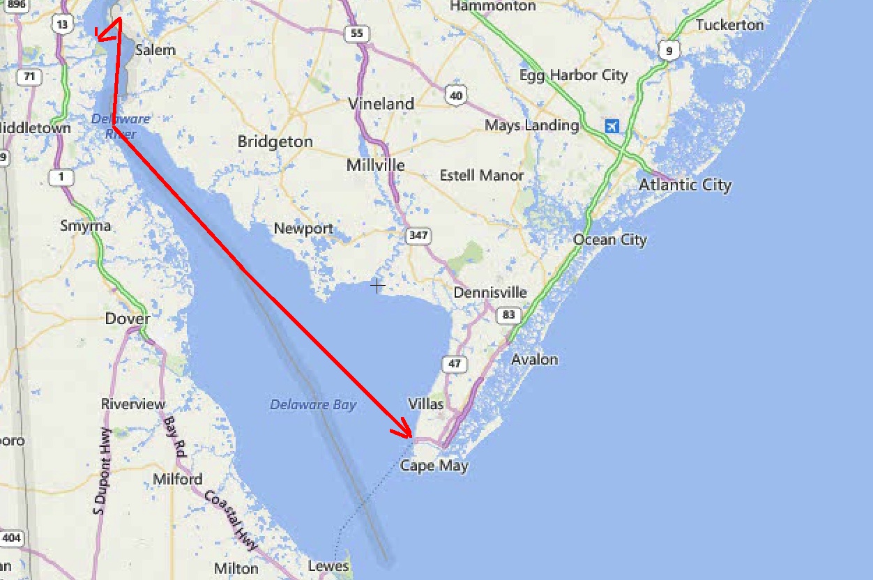
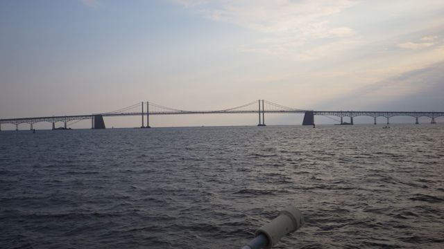
The weather says Go!! We rose early in the morning to get to Annapolis in the early afternoon before the afternoon thunderstorm arrives. Even though it isn’t summer yet, afternoon showers seem to occur every day. It should be an easy day of 53 miles. But it will be another day on the Chesapeake Bay. How exciting!

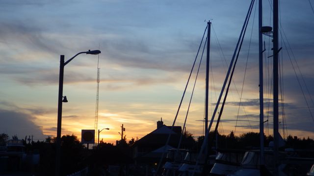
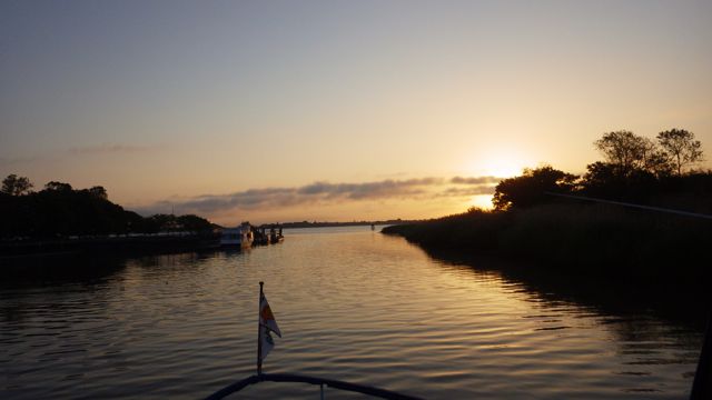
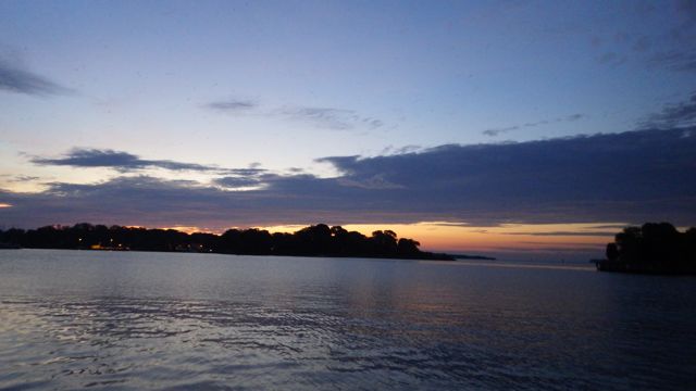
Early Sunrise in Solomon, MD

5:30am Sunrise. Red Skies means a great day!!
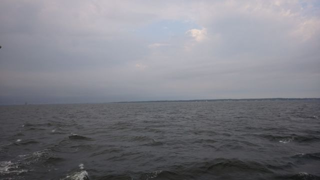
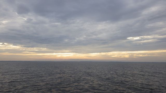
Our day is starting out cloudy and humid but no rain. The humidity was up due to that rain from last night. After studying the weather projections, we should be driving out of the cloudy skies into sunny skies. Northward. The Chesapeake promised to settle down and only have 1 ft waves. Fingers crossed that the Marine Forecasts are correct!

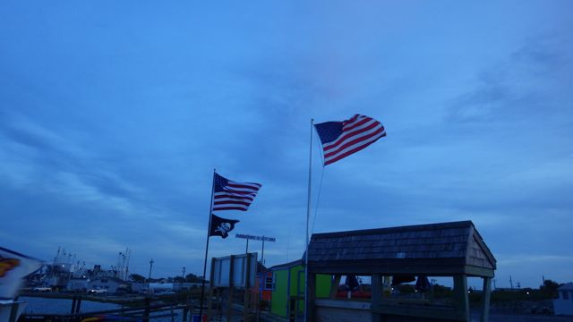
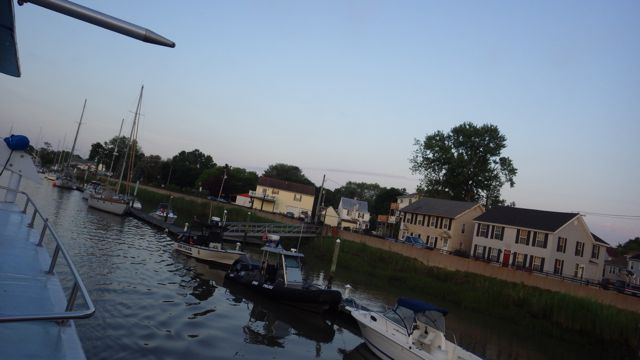
Goodbye to the Solomon, MD – Solomon’s Yachting Center
As we started moving the boat, the wind came through the opened windows and we were able to get some relief from the humidity. We just aren’t really used to all this humidity coming from Arizona. You would think that since we are on the water, we would be having lots of humidity. Not so far. My hair started to frizz.
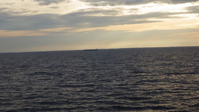
As the sun started to peak out of the clouds, we see an early morning barge pushing something along. It almost looks like a submarine in this long distance shot. Doesn’t it? Maybe a whale?

Early morning sun
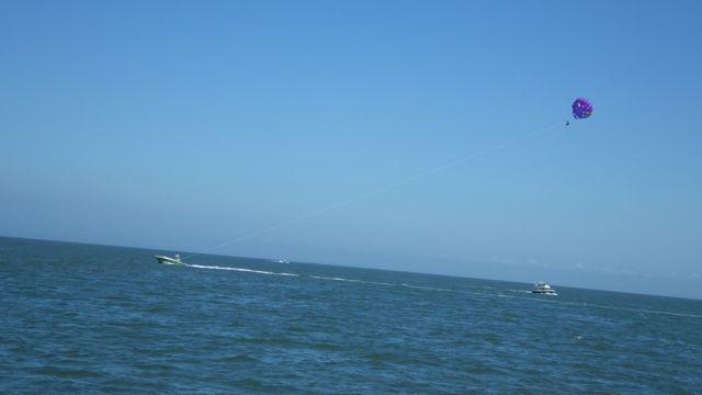
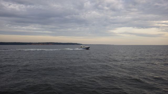
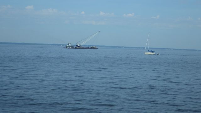
Our first go-fast boat of the day. Out looking for that perfect fishing hole before 7am in the morning. Water looks bumpy but not too wavy.

Go-Fast Boat
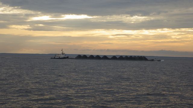
This is the “Challenger” pushing heaps of something that looks like coal. I like the nice neat piles in a row.

Heaps being pushed south
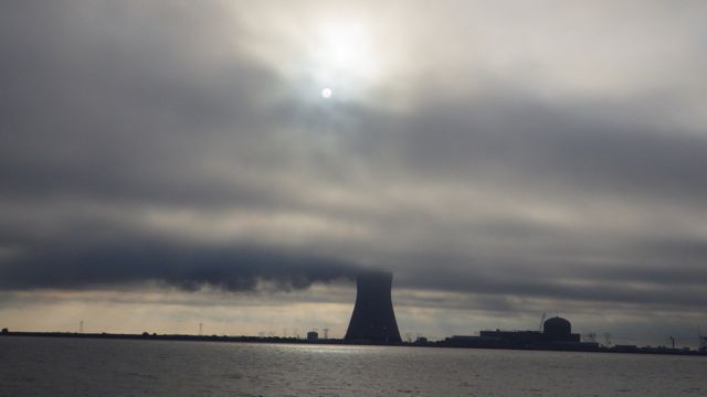
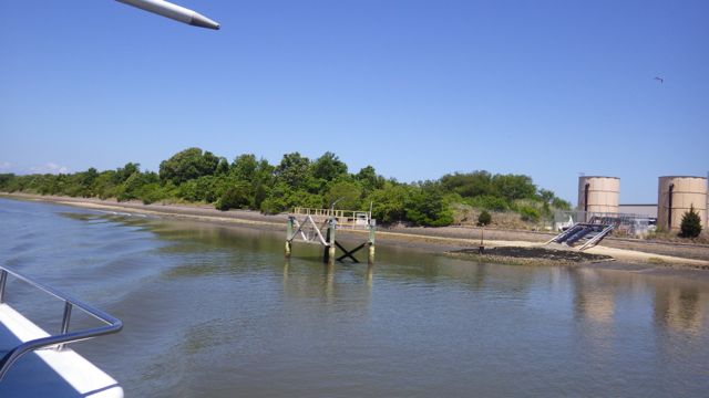
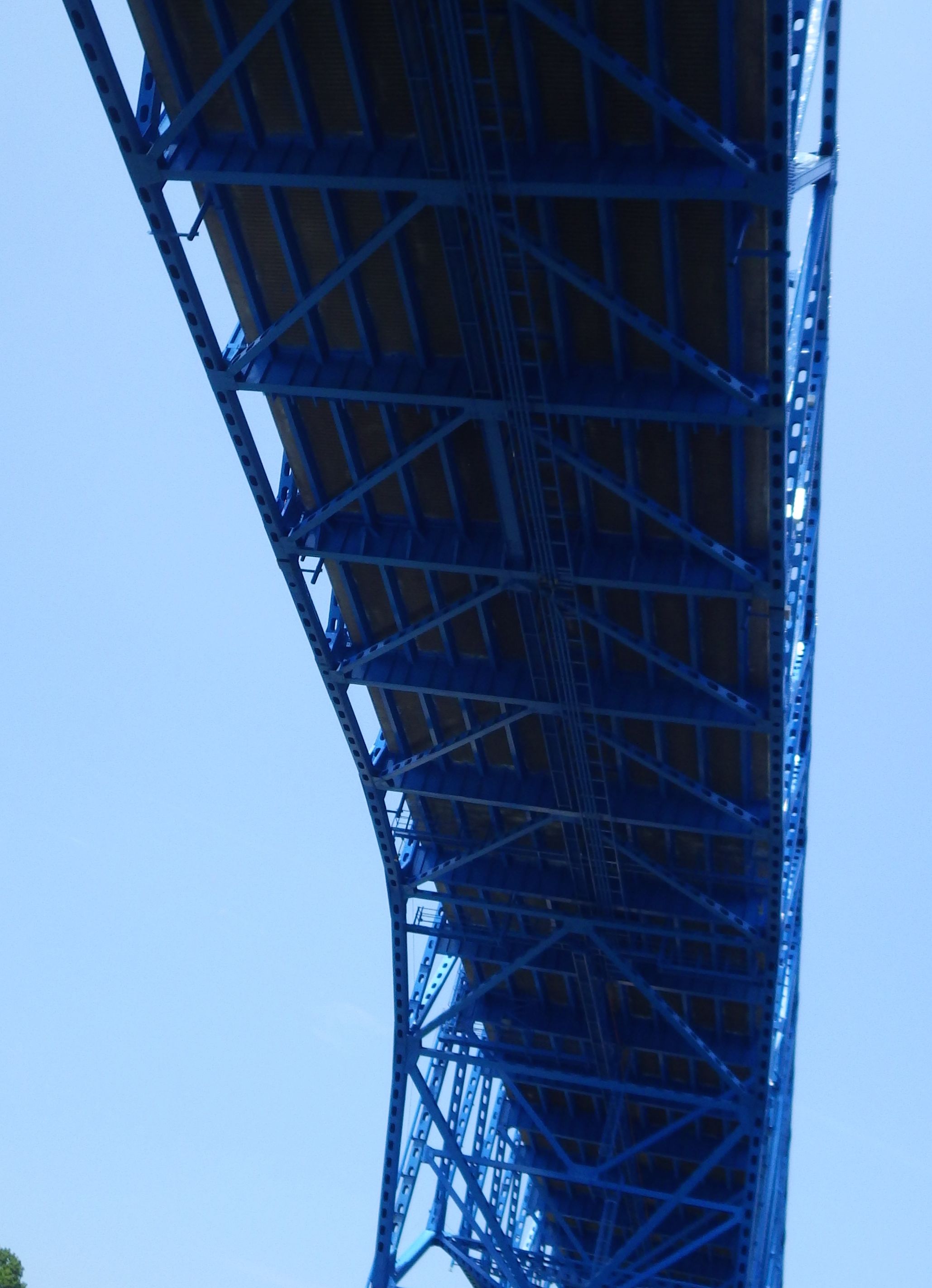
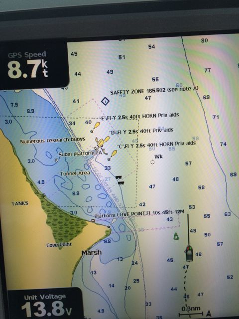
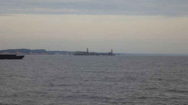
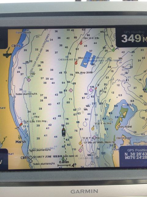
I have the binoculars up and sweeping the area. I see something ahead. A large structure out into the water. It isn’t in the way, but being a curious person, I look at the chart plotter to see if it shows what the structure is. I see “tunnel area”. Tunnel?? Under the water??

Tunnel?? What is a tunnel doing out here?

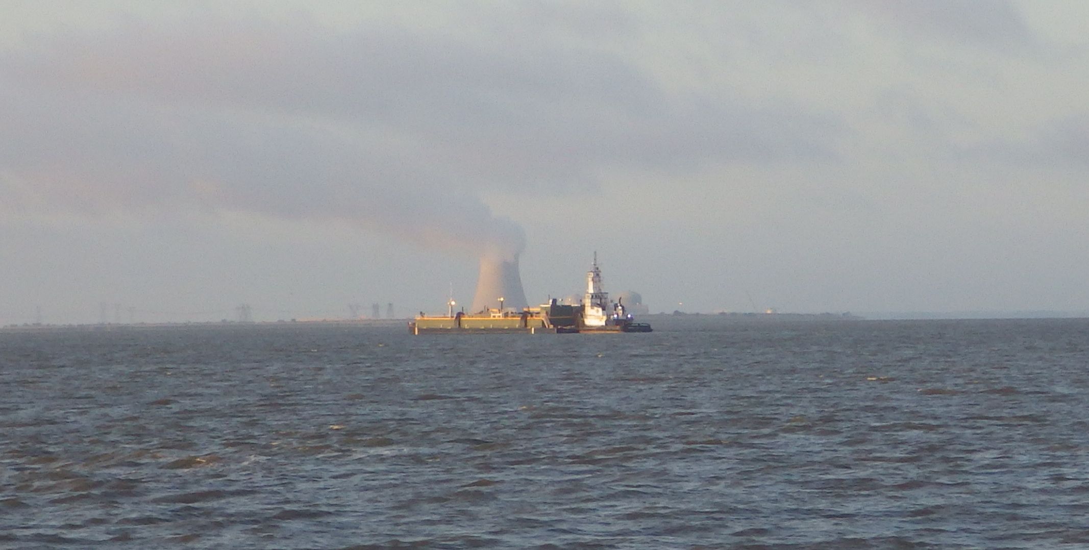
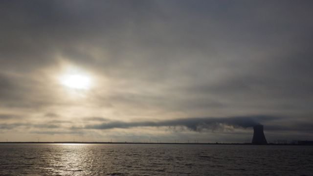
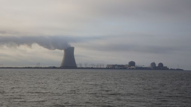
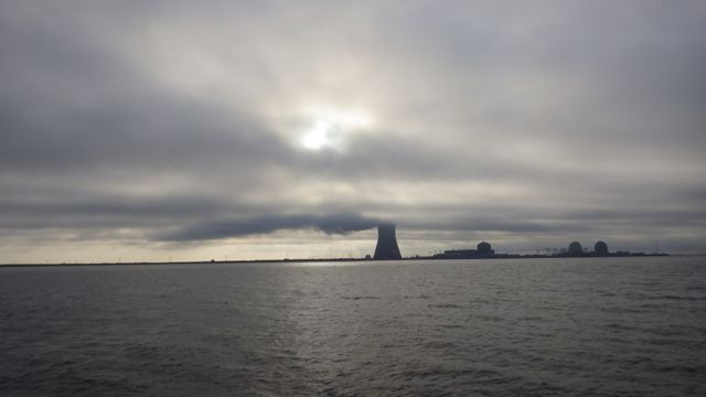
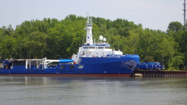
Large offshore operation
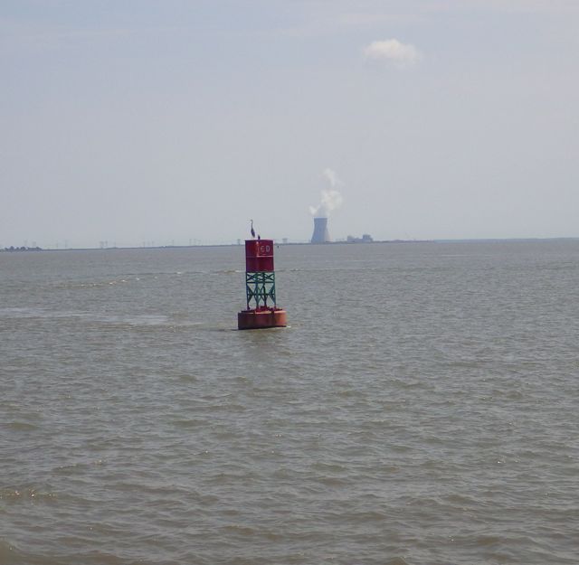
I found out it is the Dominion Cove LNG production plant. They must have dug a tunnel from the land to get the distribution platform out into the deeper water of the Chesapeake Bay for large transports ship. Don’t see “tunnels” on marine maps very often. I just had to find out. 😉
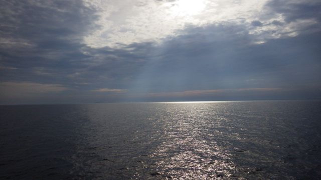
The sun is really trying to peek through the cloud. Beautiful!

Water so bright we had to put our sunglasses on!
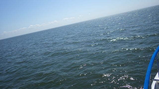
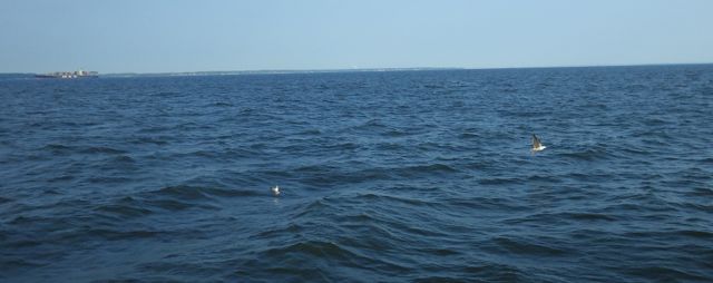
The water is pretty good. Not too rolling.

Are the skies really yellow? Sunrising at 7.20am
I was driving minding my own business. Concentrating on the water ahead. Looking out for any small boats, daubers ( crab pots ), or large boats coming our way from the north heading south. Periodically, Wayne and I will look behind us to check for any boats or strange objects that might be creeping up on us. A large fishing boat or trawler can cause a substantial wake even when they are going in the same direction as we are.
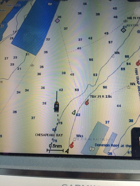
I see this little triangle on the bottom of our chart plotter. It could mean almost any sized vessel with a with AIS transponder. I am thinking sail boat. I decided to look back and see what it could be. I mean, the little triangle at the bottom of the screen ( just above the 8 ) is small. It is a small green triangle. You might not even be able to see it well. Surely, the vessel is also….

Triangle? Someone behind us??
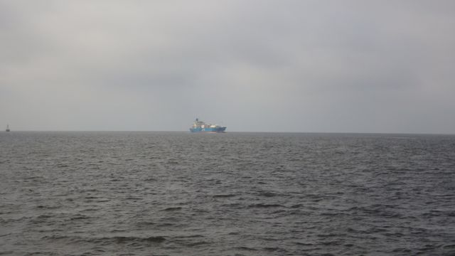
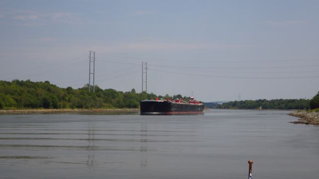
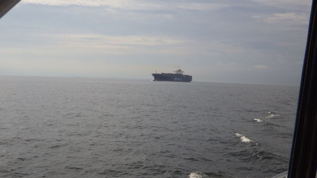
It happened to Wayne. Now it is my turn to go…where did that big monster come from??

Cargo ship!!!
I abruptly moved Always Home over away from this cargo ship. The water is pretty deep and there isn’t any problem giving this guy room. Just a surprise. This behemoths must move faster than our 10mph!! The last time I had checked behind us, it wasn’t there. I don’t even know where / what port it came out of.
Here is the little triangle next to us. The chart plotter is so deceiving. It looks like our boat is HUGE. The little triangle is off to the right of us. See how small it is?

Little triangle beside Always Home

Cargo ship beside me
Your keen eye may have detected that this cargo ship is over a half mile away from us on the chart plotter above. It may take 5 minutes or so, but the cargo ship’s passing wake rocks the boat!! We can see the ripples as they approach. We hold on and try to steer the boat into the waves to help mitigate their affect.
It wasn’t that busy on the waterway. But I did capture a few other boats that passed us going south.

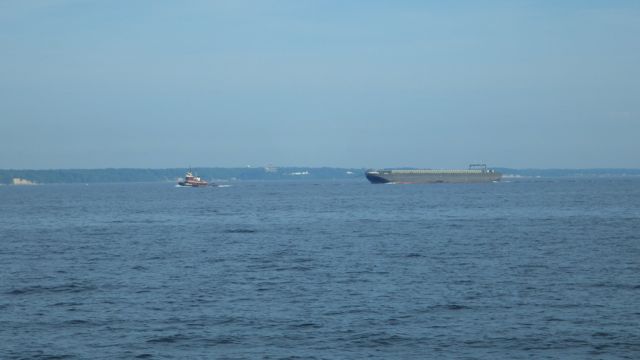
“Amy Moran” pulling a grey barge

Dredger being pushed up the bay

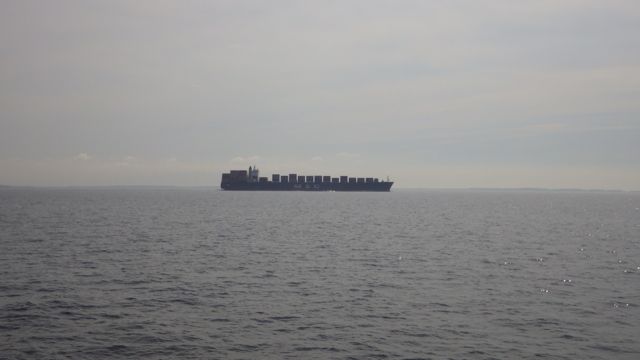
Another MSC ship!
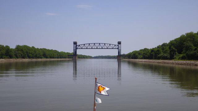
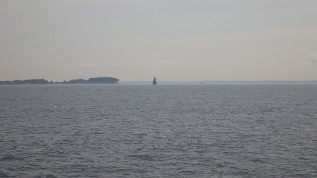
We may have lost the magenta line, but we gained channel markers that even the big ships can see. This is “Bloody Point Bar” light. It is supposed to be 54ft tall. Of course, it has lights for daylight and nighttime. Some of these large markers also have bells or whistles. They aren’t quite as loud as I had imagined, but if you are a small fishing boat in a fog, you probably would think it loud!

Bloody Point Bar Light
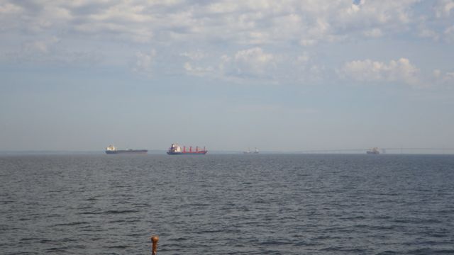
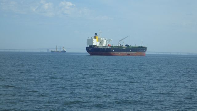
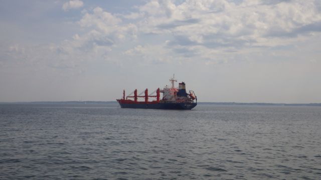
As we approach Annapolis trying to find our marina, we see there are several large ships sitting or anchored up ahead. There are 3 large ones ahead.

Behind this boat is “Jumbo”. Seems appropriate name.

“Bitu Express”

“Sir Albert”
By the way, the marine forecasters were correct. We had less than 1 foot seas. Pretty calm and delightful!!
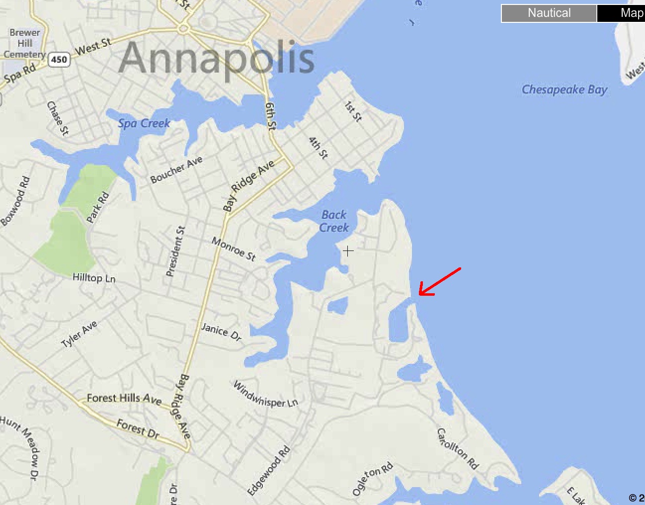
We were delayed in the Solomons, so we will not be visiting Annapolis. Our marina for the night is just south. We understand the water in Annapolis is very busy!! We wanted an easy on/ off of the Chesapeake Bay to keep moving on our Loop trip.

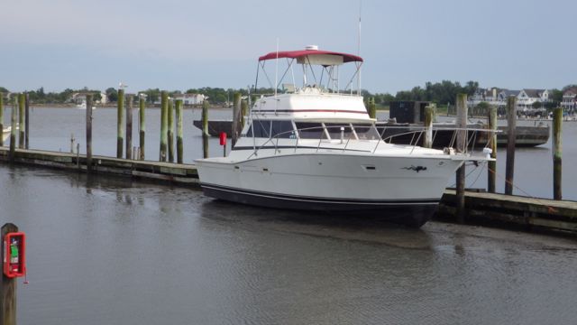
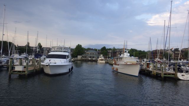
Chesapeake Harbor Marina, Annapolis, MD
Another very protected cove. Nice marina and beautiful boats all around. A few large boats were along the main drag as we entered the marina. Wayne was able to nicely drive past them and put Alway Home on an adjoining T-head. The marina is surrounded by condo looking buildings. Very nice grounds.
A late afternoon rain looks like it is almost here!!

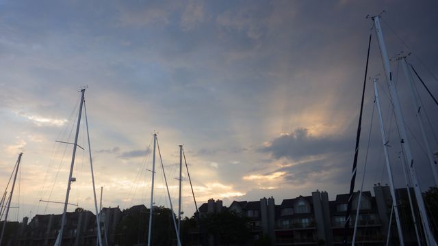
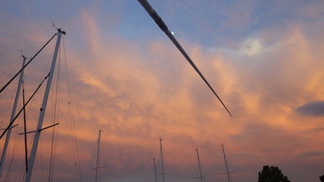
Sunset in Annapolis, MD