
Good morning Cruisers and Loopers!! A beautiful day today. A perfect day. We are planning a short day of only 50 miles or so.
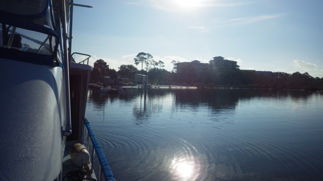
Leaving Baytowne Marina, Sandestin, Florida
The channel markers leading us out of the marina back into the Choctawhatchee Bay. They look like runway markers, don’t they? It is important for us to stay within the markers since the depth of the waters on either side of the markers is only 2-4 feet. More remarkable is how calm the water is!
Channel markers to and from Baytowne Marina
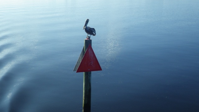
Pelican standing guard

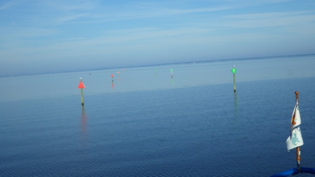
9am in Choctawhatchee Bay
After traversing the Choctawhatchee Bay, we entered the GIWW. The waterway reminded me of why the GIWW (or ICW) is called “the Ditch“. We have cruised in similar surroundings when they were called “canals” or “channels”. What is fascinating is that we saw no one else in this Ditch. Miles and miles of this narrow waterway. The good news is we had very little wind gusts affecting our travel. Very nice. We actually had to open the eisenglass on the flybridge because it was getting warm. Almost 80°F. Nice for me. Warm for Wayne.
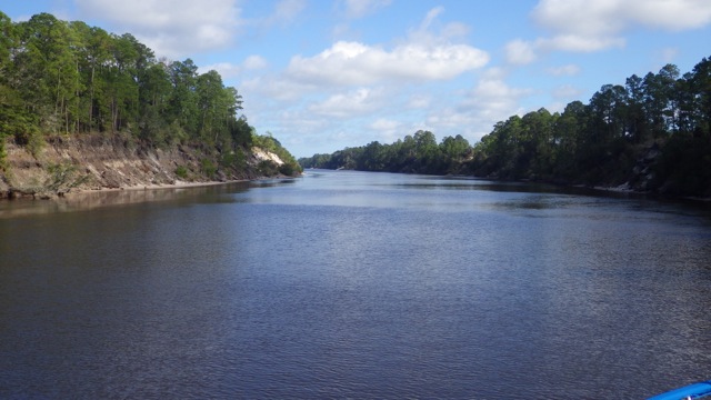
The Ditch – or ICW
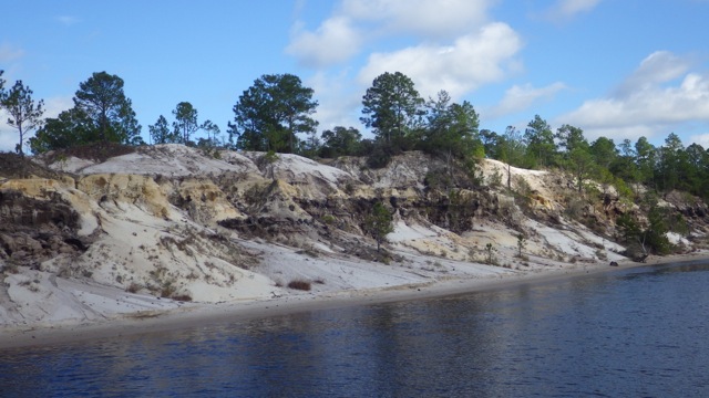
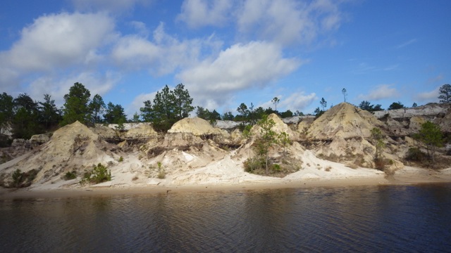
We know we are in Florida by the color of the sand. I would call these different colors of “cream”. I was told that Florida has lots of white sand. Within the Ditch, there are more texture and color. Very interesting.
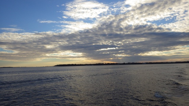
You can see the water ripples as we entered a larger water in the later afternoon. The West Bay. The ripples didn’t cause us any trouble with the wind at our stern. We just cruised right along feeling pretty good. A gorgeous day on the water!
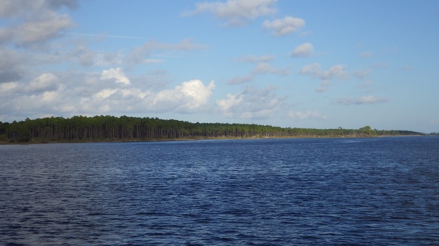
Entering West Bay approaching Panama City
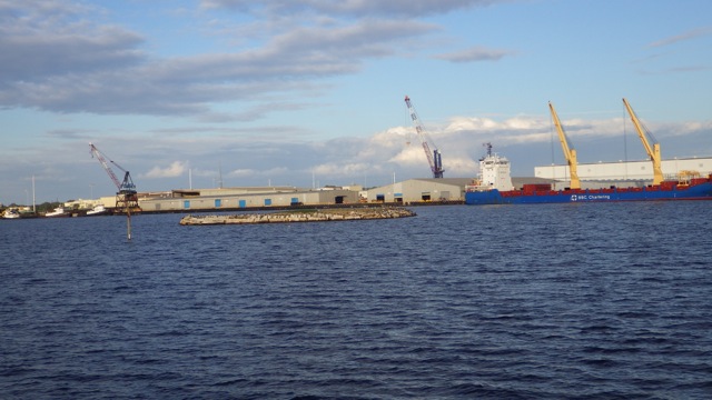
West Bay becomes North Bay as we approached the Panama City Port Authority. You can tell that is a very busy place with the cranes and barges around the area.
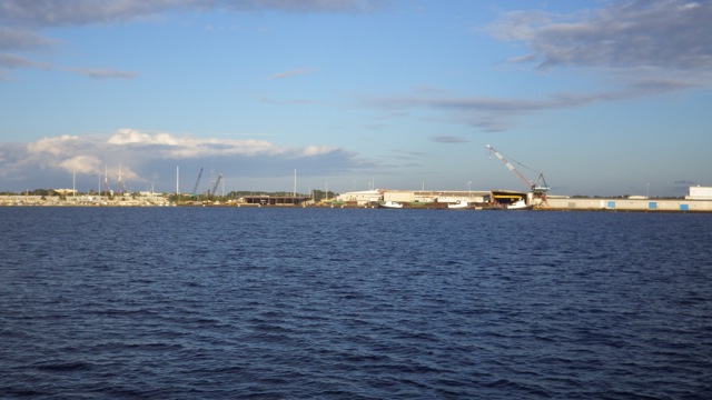
Industrial Park
Around the corner is a floating island. I looked with my binoculars to see what this small island was. It had grass!! As if someone put sod on a floating system of some kind. Grass wouldn’t grown naturally in salt water, would it? The charts call it “Audubon Island”. A bird sanctuary. Of course. That explains all the cormorant and sea gulls resting on the rocky shore. I did not see any birds on the sod, however. 😉
As the day ends, I thought I would share my short videos of the dolphins that helped us find our way to Panama City. Enjoy! The 44 second clip is a group of dolphins. Different sizes all swimming together.
Dolphins – 5 seconds
Dolphins – 13 seconds
Dolphins – 44 seconds – group
4pm as sunsets in the late afternoon
A cold front is expected to come through this area in the next day or so. Plan A is to forge on to Apalachicola ahead of the higher winds. Plan B is to stay in Panama City until the weather gets better. We will let the morning dictate which Plan we will end up doing.
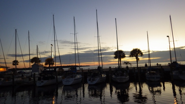
Sunset in Panama City Marina

Nice!!
LikeLike