
Today is a grey misty day. We decided to travel anyway since the weather forecast said no rain, just a possibility of rain. So, we left the marina and headed north. I had wipes and squeeze ready in case we needed them to clean the front eisenglass. Besides, the farther north we go, the less clouds and more sun. We hope. Surely, my weather apps won’t be wrong today.
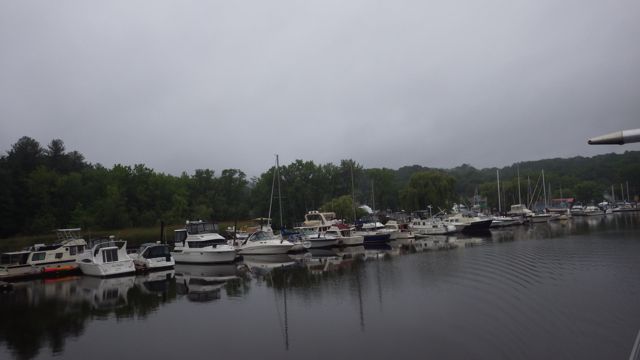
Leaving Rondout Yacht Basin, Kingston, NY
Rondout Yacht Basin does offer a few places for transients. Most of their business is for the local smaller boats as you can see above. Lots of traffic on the water yesterday. Today? Everyone is back at work. Peaceful and quiet. See how flat the water is? Fantastic!
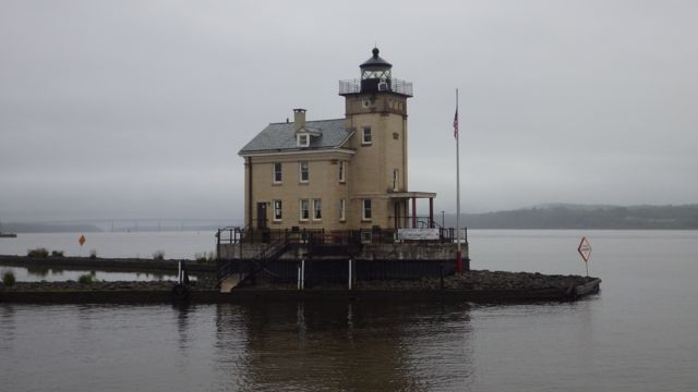
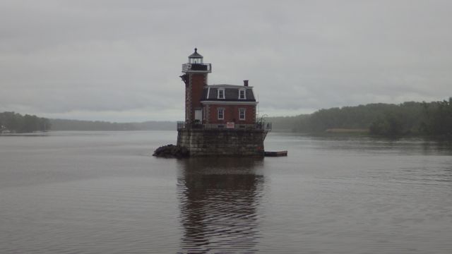
Rondout Creek Inlet light house – isn’t it cute?
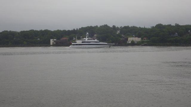
As we were coming out of the Rondout Creek, we yielded to this luxury yacht. We weren’t the only ones on the water early in the morning.
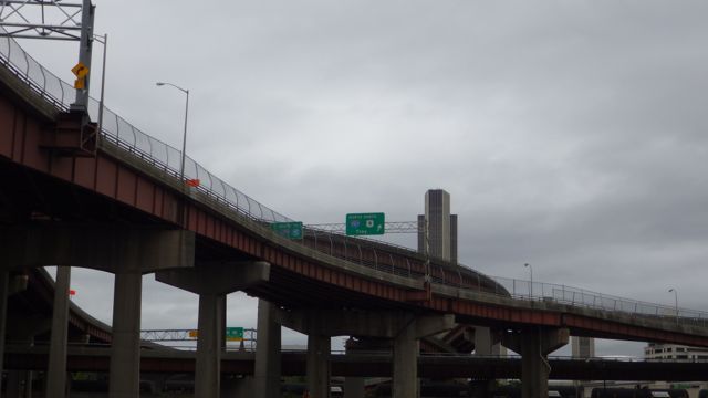
For some idea, this bridge reminded me of those metal erector sets. Maybe the giant used them to make this bridge?
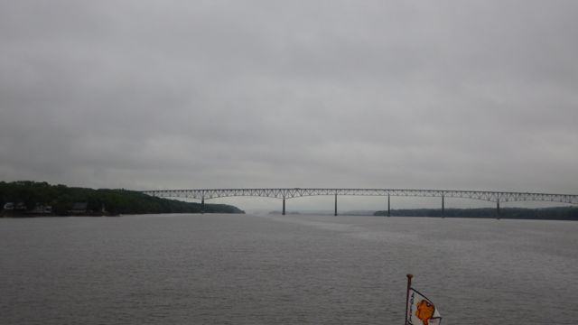
George Clinton Kingston-Rhinecliff Bridge
Images along the way…
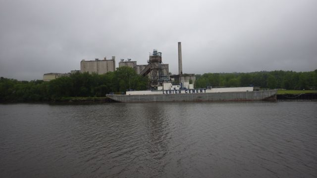
Lehigh Cement
Channel Marker
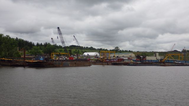
Port of Coeyman – looks busy…
Some of the houses along the Hudson made sure to have a great view. I wonder who gets to ride the lawnmower for this lawn?!

Tree sacrifice for the view
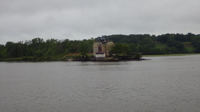
Channel Marker – Light House – they are so cute!
This barge is actually being filled with heaps of dark material. A front loader filled the bucket that then swirled around and plopped the material onto the barge. It sounded like gravel.

Fill a barge
A boat that has the accessories like it is a military vessel but we aren’t sure. It was being painted and worked on. No name visible. Hiding in plain sight?
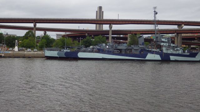
No Name being worked on
We aren’t lost after all. Troy is …. to the right!!
Go right to Troy!
We are passing Albany, NY.
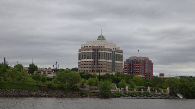
NY Environmental Conservation Building. Really? I thought it was the capital building. Hmmm
State University of New York? I think
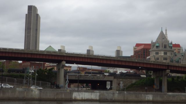
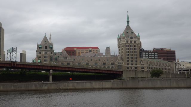
Subterranean “Historic Albany” – conjures all sorts of images
Here is the “Manatee” docking at the free wall in Troy, NY. Don’t know if they plan to get off the boat. The wall looks pretty high. Cute boat, tho.

The Manatee
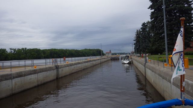
We headed around to corner to the Federal Dam and Troy Lock. Troy Lock is sometimes referred to as Lock #1 on the Erie Canal. BUT it isn’t. Or the Corp of Engineers don’t think so. They manage this dam and lock. The NY Canal Corporation manages all the other locks on the Erie. You can see the lock to the right of the dam. Pretty impressive.
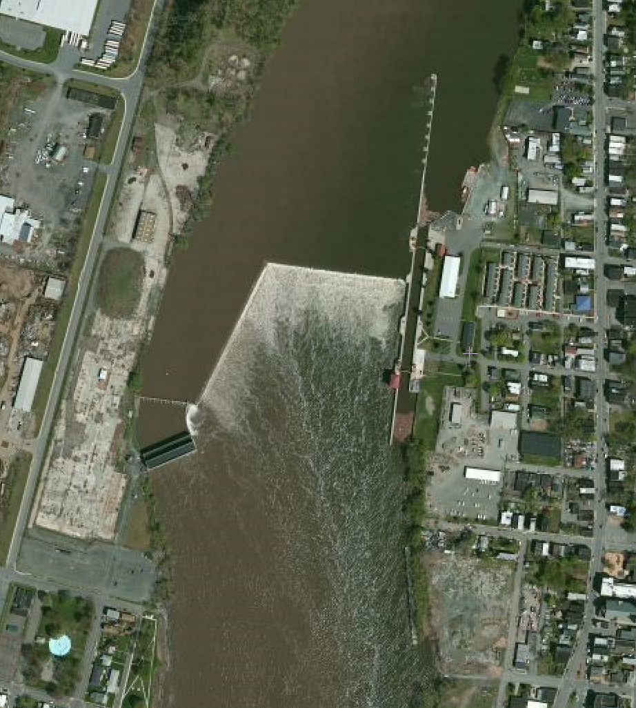
Troy Lock and Federal Dam
I have the fenders out and standing on the bow as Wayne drives the boat up to the lock. Here we go!! The dam is to the left. Looks just like the Google Map picture above.
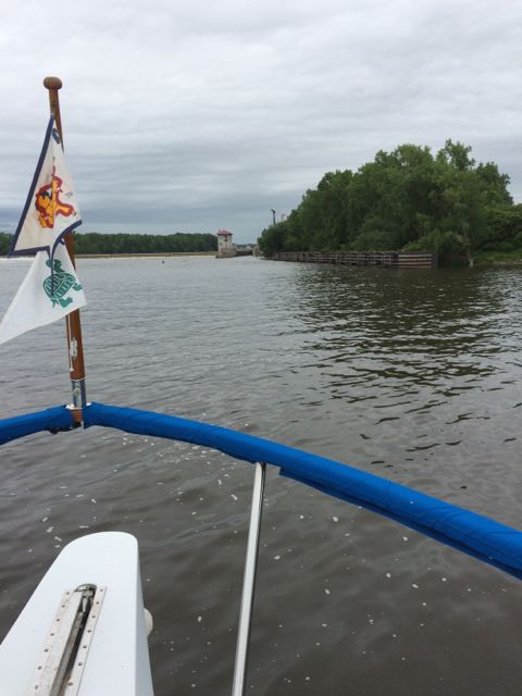
Approaching Troy Lock
Going UP 15 feet! – lock door closed
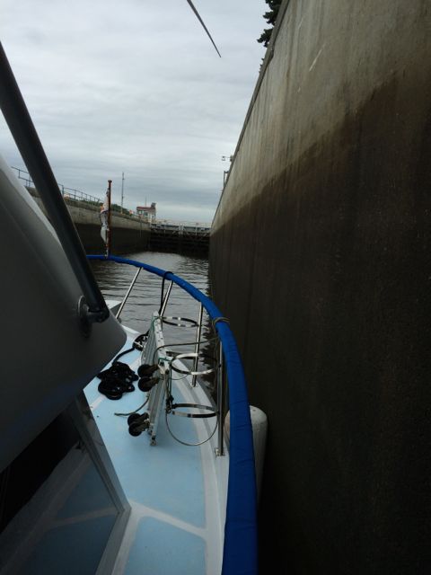
Troy Lock has both Pipe and Cable connections along the wall. The pipe and cable are connected at both ends to the lock wall. We took one of our lines and wrapped the line around the pipe and held on at the mid cleat – the middle of the boat. There was a sail boat in front of us sharing the lock. It was a gentle rise to the top. A great way to start our locking adventure.
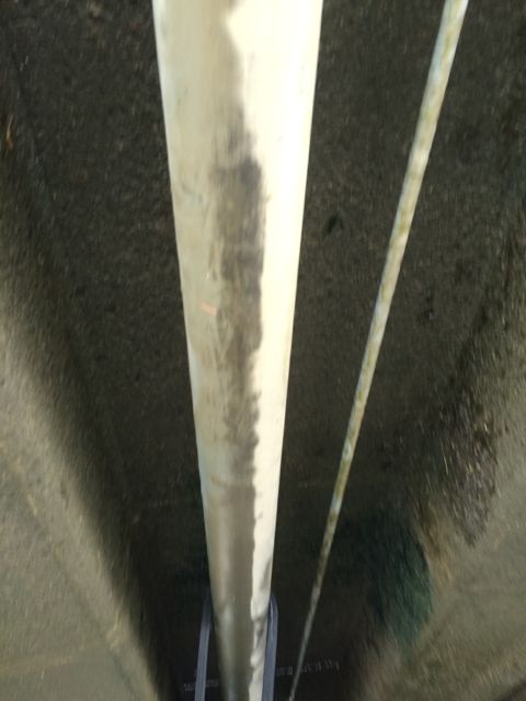
Looking Down at the pipe/cable
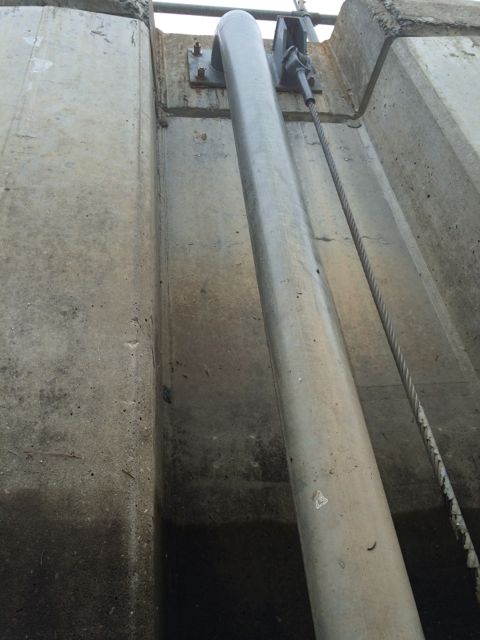
Looking up at the top of the lock as we were going up
At the top of the lock!! We made it. 15 ft taller today.
Gates Opening at the top of Troy Lock
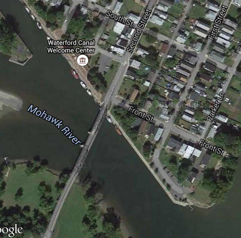
We turn left at this sign. Erie Canal!! Leaving the Hudson River and into the Mohawk River.
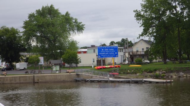
Directional Sign for Erie Canal – go left!
We rounded the corner and found the Waterford Visitor Center wall was full. At least, all the spots with electricity were taken. We turned around in the basin and went back to a spot on the wall were we could tie up for the night. The evening was cool so we didn’t need the electricity for air conditioning. We used our battery inverter to keep the refrigerator and freezer cold.
Basically, what you are looking at is a long wall. Boats tie up to the side of the wall. Half the actual wall has electricity and water. The rest of the space has only cleats to tie off to which is on the southern end of the wall… in this picture.
The Waterford Visitor Center provides maps and information about the Erie Canal. Visitors are welcomed to tie up to the wall with “no services” for free. If you do get a place to connect to electricity it is $10. A great deal. We hope one of the boats with electricity will leave in the morning so we can move up and plug in. We have to pay for our Canal fees and get our sticker. We plan on being here 2 nights. By the end of the day, there were another 8 boats behind us. All Loopers.
What is interesting about this is that we didn’t see many Loopers actually on the water. They must have been behind all the twists and turns of the Hudson. Fascinating.
