
We woke up to a beautiful morning. Low wind and calm river. A perfect day to leave a crowded marina. Wayne backed us out off our dock like a pro. Time to go north! We really enjoyed our stay at Half Moon Bay. Meeting more Loopers and hearing their stories.
Leaving Half Moon Bay Marina, Croton-on-Hudson, NY
Flag Day!! Really enjoyed seeing the USA Flag flying proudly on several of the bridges this morning.

Bear Mountain Bridge
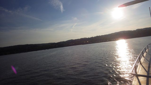
We had no idea that the Hudson River ran so deep!! My chart indicated. Wow

Anthonys Nose – notice water depth
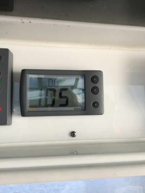
Depth Finder shows 105 ft!
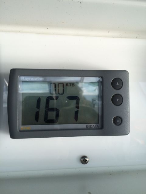
Depth finder shows 167 ft!
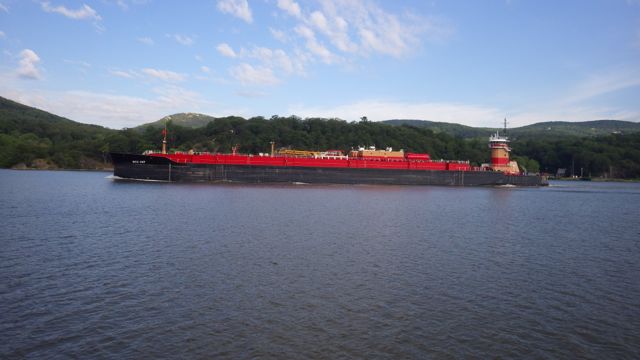
A handful of barges this today … I like the colorful barges and tugs. Really offsets the rust.
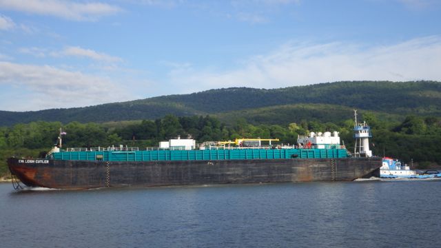
Eva Leigh
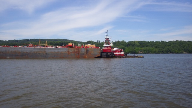
Christine McAllister tug
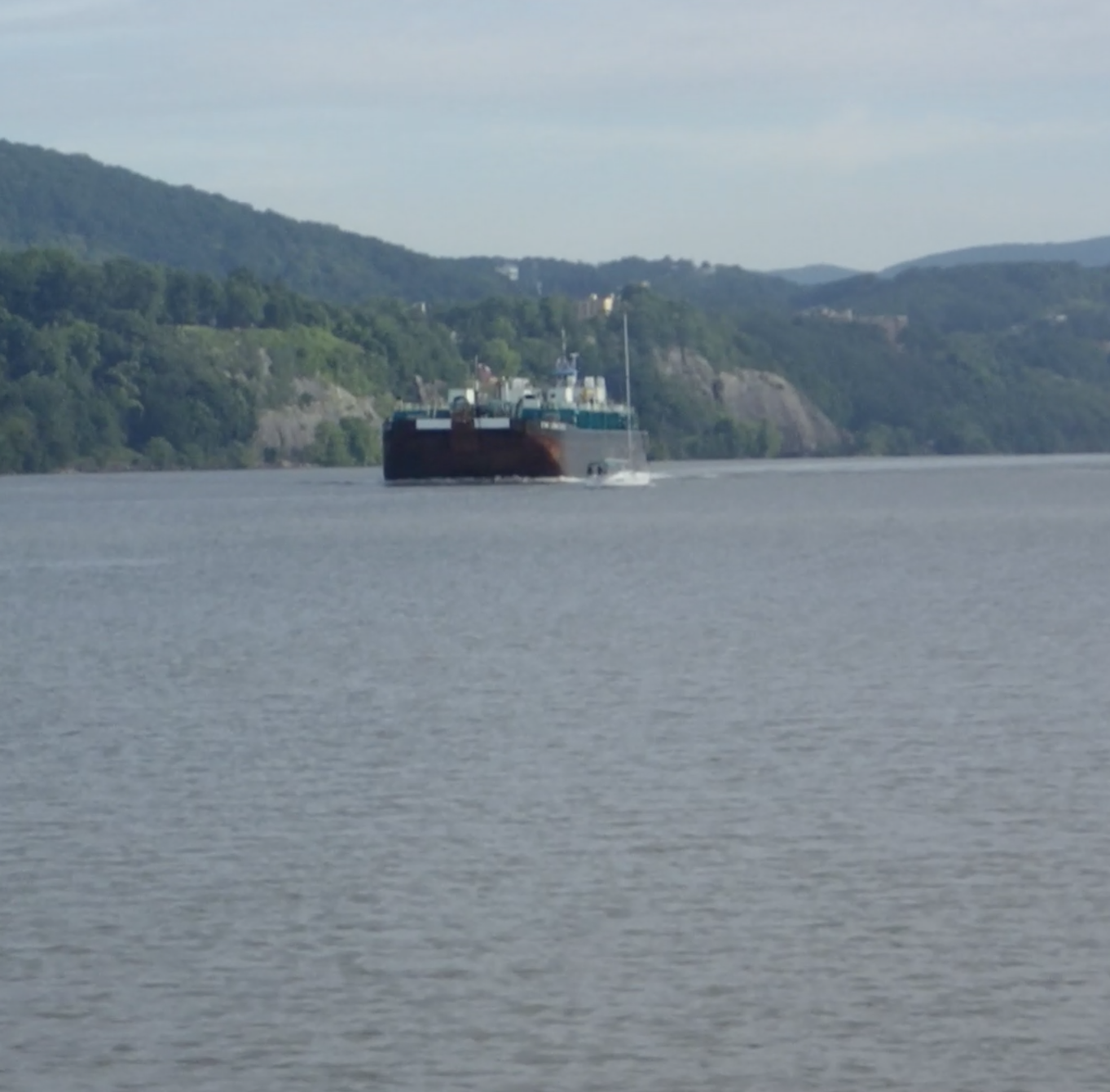
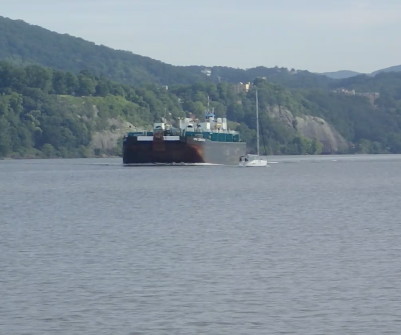
Drama on the Hudson!! We saw this little sail boat not change course as this large barge came into view. The barge did NOT change course. Drama!! We had moved over to the side of the channel to be sure this behemoth wouldn’t rock our boat too much. The Sail Boat didn’t alter course. OMG!! Does the Barge even see the sail boat?

Sail Boat and Barge??
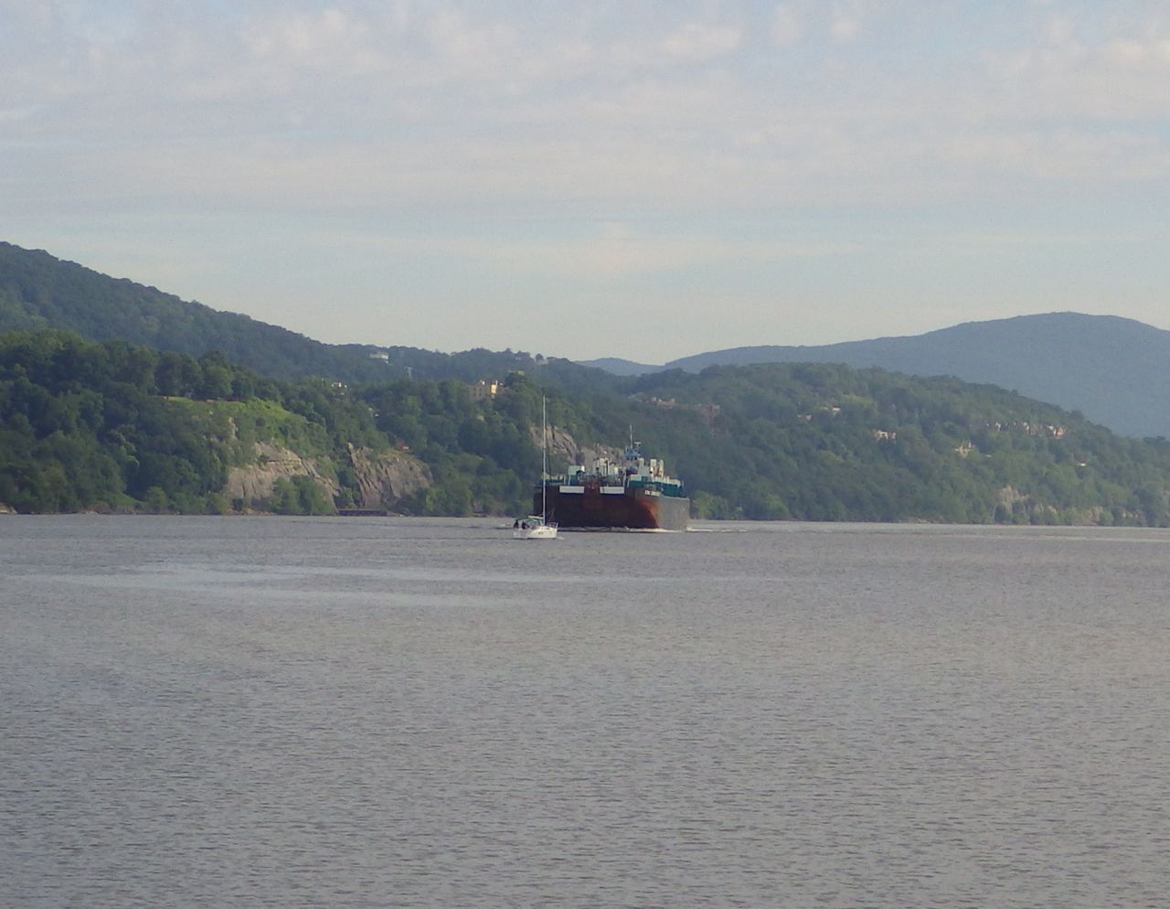
Seriously…. they look like they are going to collide
The sail boat must either not be intimated by size or they knew from local knowledge that the barge would follow the channel and turn slightly enough to miss the sail boat. From our point of view, there was going to be match sticks that we would have to sail through. It looked very close!!
I saw this castle-like building up on the mountain side. It is a hotel not far from West Point.
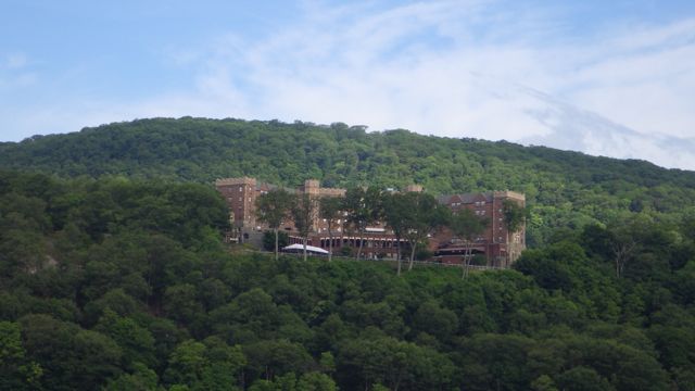
Thayer Hotel near West Point
We are going to be driving by West Point? It looks so institutional. To me, the buildings look either like a prison or monastery. A university? Is this what some of my tax dollars are paying for? Very impressive, to be sure. Old buildings. Formal. Straight. Salute is in order when we passed by, right?
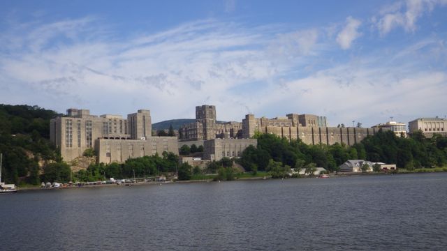
West Point
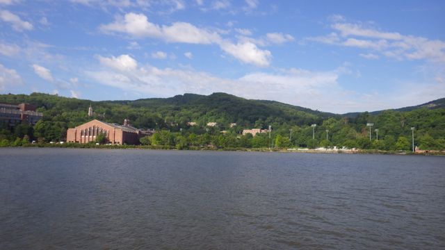
Football field at West Poing
A rail road track runs right along the river at this point. This beautiful house sits right behind the tracks. Again, from our vantage point, it looks like the RR track is their front sidewalk! We have seen trains. So, we imagine this house feels the trains when they zoom by!
Rail Road track on their front lawn
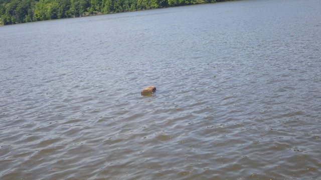
Debris!! In the Hudson River. The lady at the marina said that normally the spring runoff would have swept down river all the kinds of debris we saw. They didn’t have the normal runoff so the debris is slowing making its way along the waterway.
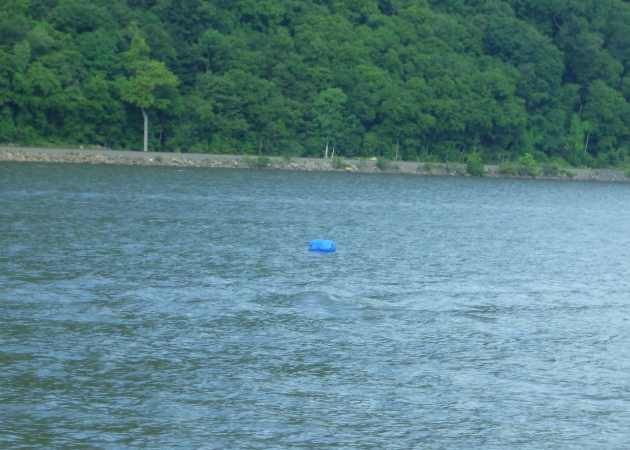
Blue plastic bottle? Looked harmless enough
We saw lumber. 2X4’s and 2X6 or 2X12’s. We don’t know where they would be coming from. Wayne postulated that the barges or tug boats might have lumber on them for support supplies. OR a house fell apart and is slowly making its way downriver one chunk at a time.
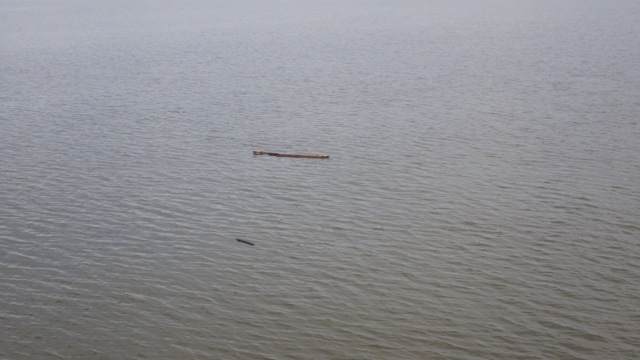
Debris!
More Debris
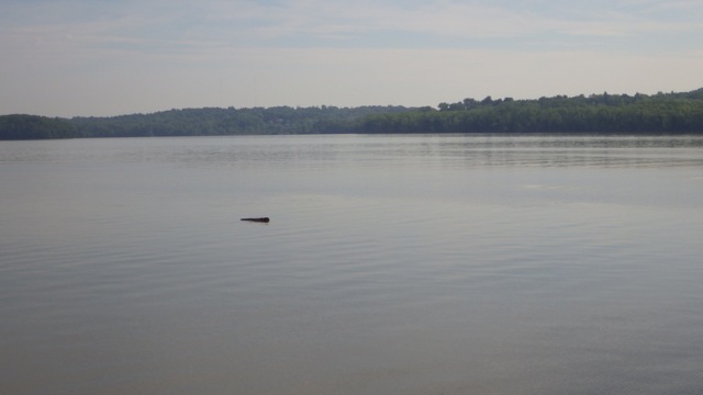
Speaking of chunks!! A tree truck or firewood!! Serious damage for someone hitting all this debris.
Debris Log
We saw several of these little houses. They are light houses and water way markers. I think they are the cutest light markers we have seen. Large enough someone could actually live there.
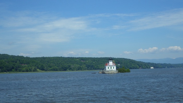
Lighthouse and Channel Marker
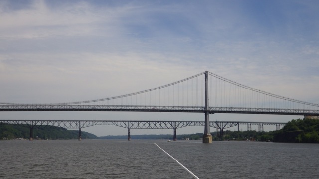
Poughkeepsie Bridges
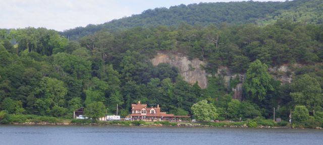
I was fascinated by this solution. Using concrete impeded pillars to apparently holdup the side of the mountain. Really? Looks like the concrete was poured into the shape and melted into the mountain side. Wonder if that really works?
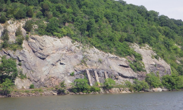
Concrete forms to hold up the mountain?
Land marks. The chart plotter indicated “stacks”. Here they are!! 2 stacks. I just love the visual water landmarks. When you don’t have street names, turn at the 2 stacks seems appropriate.
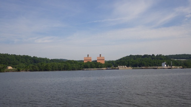
Stacks
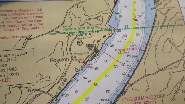
Stacks indicated on the charts
Flat water. Perfectly calm waters. I guess waiting for the weather to pass was the right thing to do! The results were a perfect day!
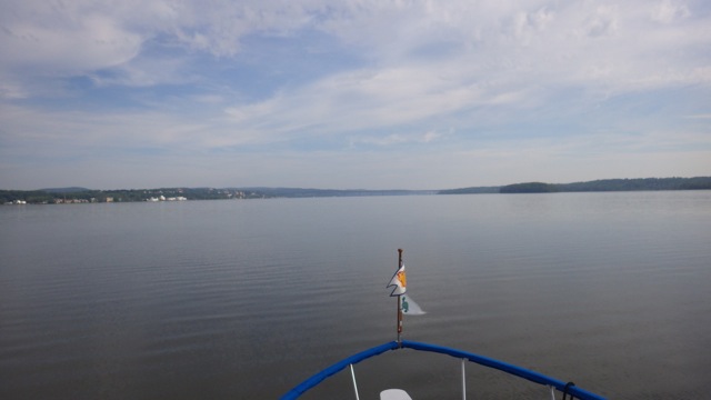
Hudson River on a gorgeous day
Just after noon we arrived at our destination. Rondout Yacht Basin in Kingston, NY. They have fuel and a pump out. And a berth for the night. 3 things we needed. Lots of activity around the marina since it was a Sunday. It quieted down at sunset as the day boaters went home.
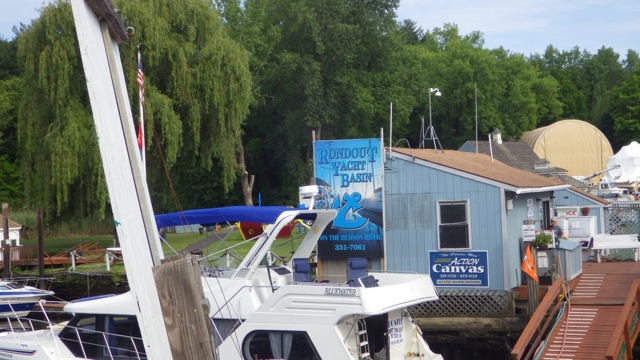
Rondout Yacht Basin, Kingston, NY
