
We decided that if we got out early from Delaware City and high tail it south to Cape May we should be there by noon. Just when the wind would go from <10 mph to gusting up over 15 – 20mph. We had the wind and current against us… the winds were from the south and the tide was flooding ( going up ). The tide would eventually turn in our favor later in the morning. We were up and on the waterway even before our first sip of coffee. Cloudy skies in the morning at Delaware City with the promise of sunshine in Cape May. Surely, the forecasters will be correct – again!
The water in the canal or creek was slowly moving us off the dock. The creek was moving smoothly.
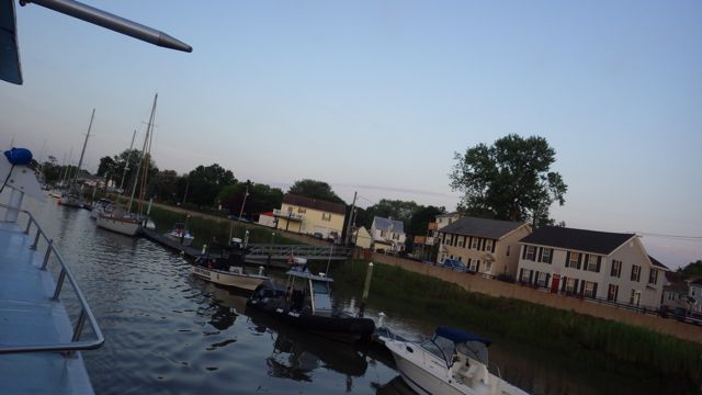
Leaving the Delaware City Marina before 6am
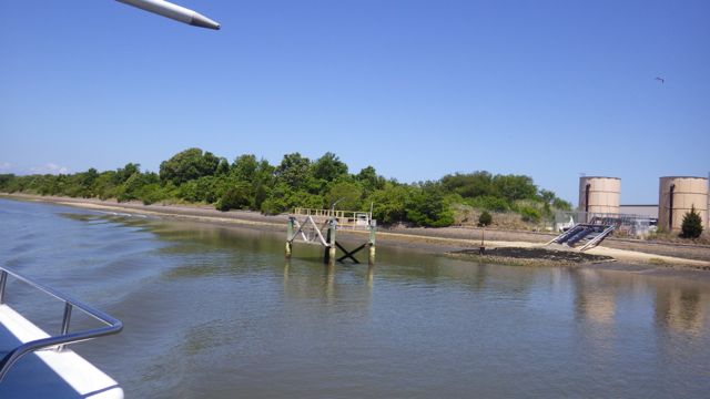
Just as we are leaving the shallow canal, the sun came out for a second for me to capture this image for all eternity!
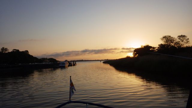
Sunrise in Delaware City, DE
This is the trip we are planning on doing today. Delaware Bay is not as big as its sister Chesapeake Bay. The dock master at the Delaware Bay Marina said:
“The Chesapeake? You can plan around 4-6ft waves. Easy. The Delaware Bay? 4-6 ft waves just happen!” Oh joy!! Maybe the dock master was just kidding?!!?
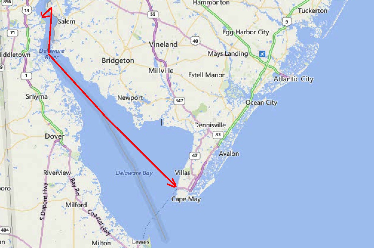
Southward from Delaware City to Cape May
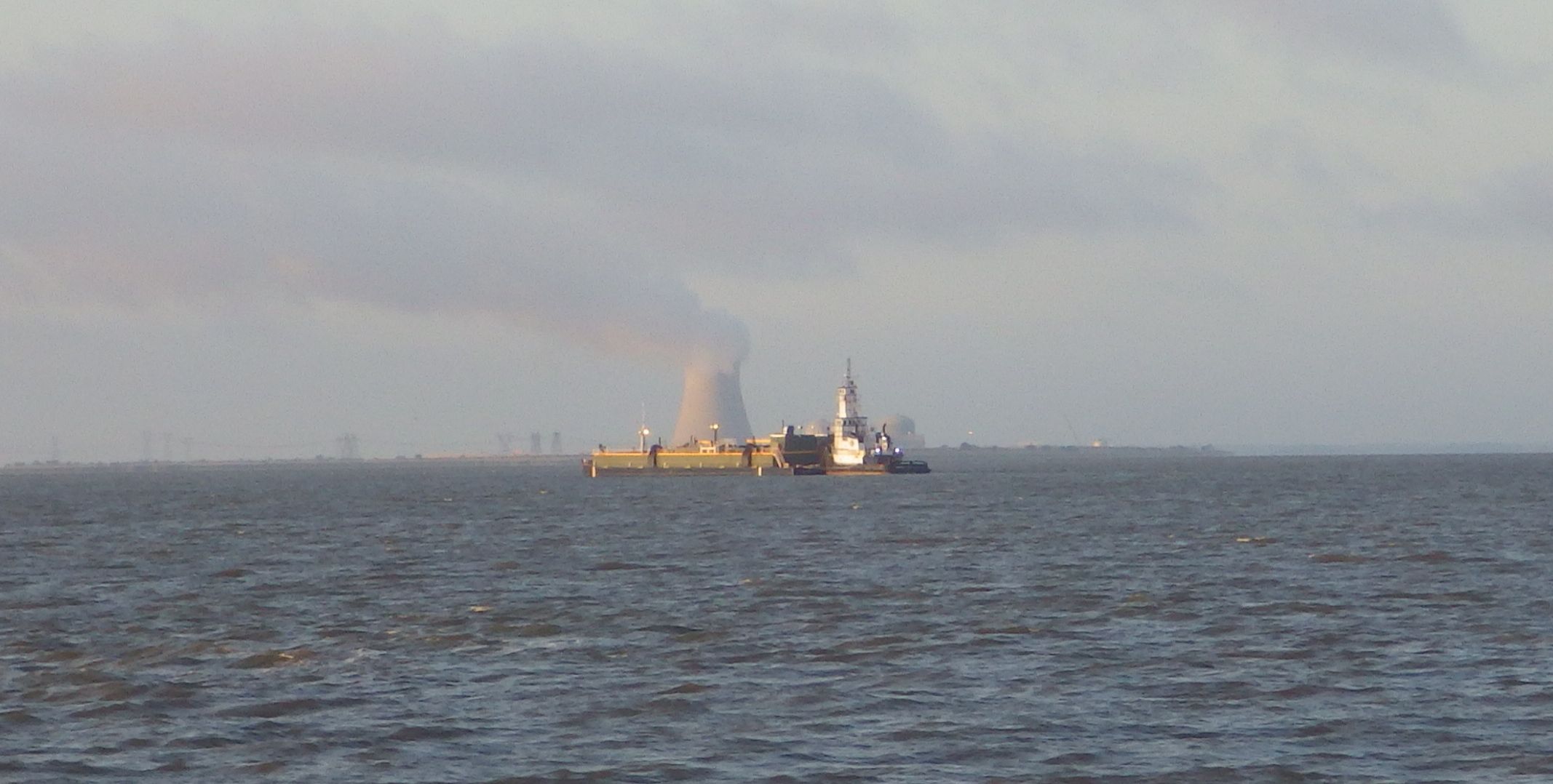
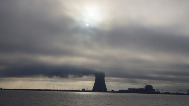
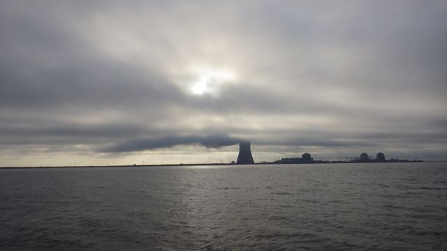
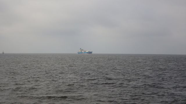
We saw the Salem Nuclear Power Plant for almost 2 hours on the horizon. Some of the most fascinating pictures are:
“Waddell Sea” pushing a barge northward past the power plant
You can tell the direction of the wind by the smoke stack line leaving the top of the power plant.
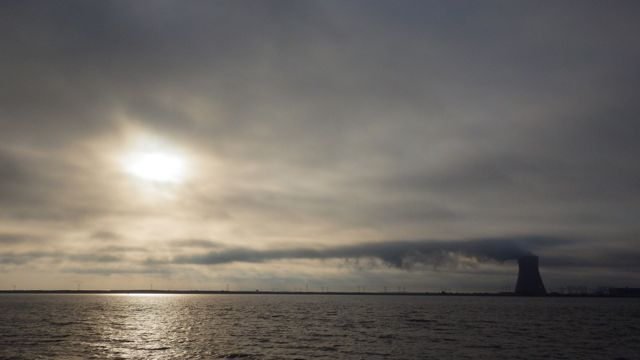
6:50am Power Plant
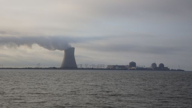

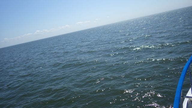
8am – water looks pretty good for today’s travel
“Nashwan” heading North
Delaware Bay looks like a pear or funnel. The upper part is Delaware River. The lower part is the Delaware Bay. We were told that the lower part would be a be more wavy and wild. We did have more waves. That 1-2 foot, I suppose. Nothing too bad. A few more white caps. This pictures is was taken around 10am. The current finally was in our favor and helped us south by a 0.5mph gain. Yahoo!!
More waves in southern Delaware Bay
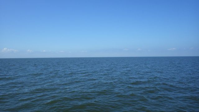
Delaware Bay!
You know when you are getting close to land when you see:
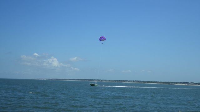
Parasail!! – Is that a smile on the sail?
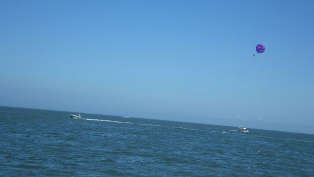
Parasail
We are entering an “ICW” waterway. I think it is called the Cape May Canal. Looks short and deep. We need to boat near the Ferry to get past some shallow waters. Otherwise, this water should be smooth and calm.
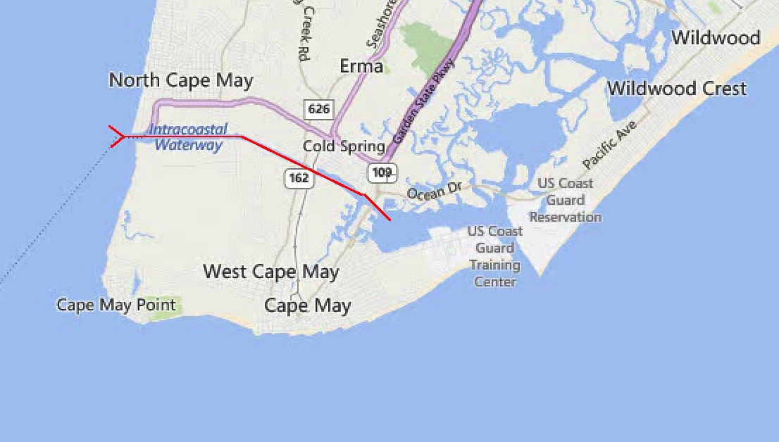
Cape May Canal
Cape May – Lewes Ferry Terminal. Looks huge!!
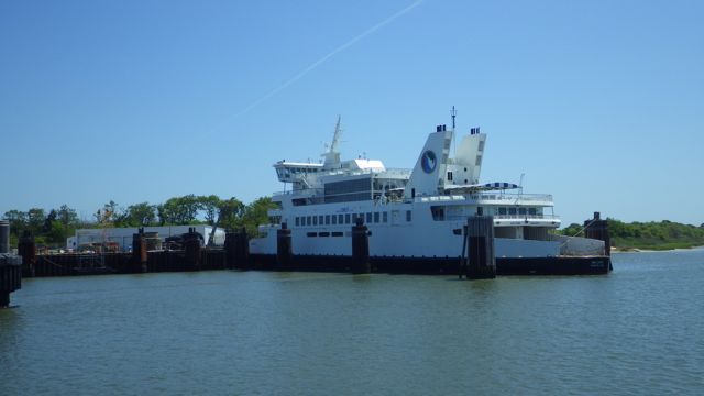
Cape May Ferry
We see a marker floating in the water. I grab the binoculars to see what it says. Generally, these markers give information like “no wake” or ” 5mph”. Today’s marker is labeled “Obstruction”.
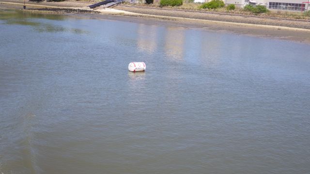
“Obstruction” buoy
Looking ahead we see this along the canal’s edge. Indeed. An obstruction!
The Obstruction!
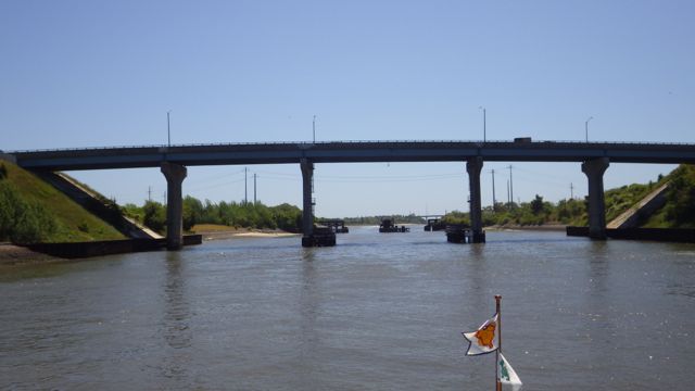
Route 162 Bridge
If you look under the bridge, you can see the next bridge in the distance. As we approached the bridge we see this little water craft right in the middle!! Actually, this young lady must not have been aware that she was close to the bridge and all the traffic coming and going from the Cape May Harbor. Lots of people in all sizes of boats coming and going on a sunny Saturday afternoon. I hope she finds her second wind and moves to the side before someone runs over her!
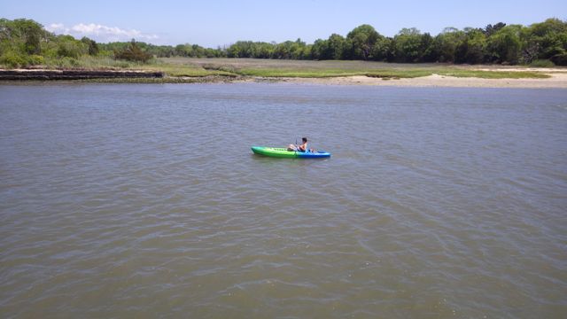
Kayaker in the middle of the canal
Out of the canal and into Cape May Harbor. Around the corner and we found out marina for the next couple of nights as we wait for the weather to calm down again.

Utsch’s Marina

Utsch’s marina just at noon!
We arrived just before noon. We fueled up and found our slip. Wonderful!! The water was good. The wind was just beginning to pick up. We made it here and survived the great Delaware Bay!!
