
Another beautiful day on the Loop!!
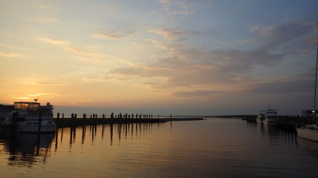
Sunrise at Alligator River Marina, Columbus, NC
We are going across the great and mysterious Albemarle Sound. It is another one of those bodies of water that has it’s own weather forecast. I have never heard of that before this journey. Crossing Albemarle Sound can be ok or it can be quite treacherous. We met some folks who mentioned boating across in 6 ft seas. I don’t think the depth is more than 15ft. We are planning on crossing today with 1 ft seas.
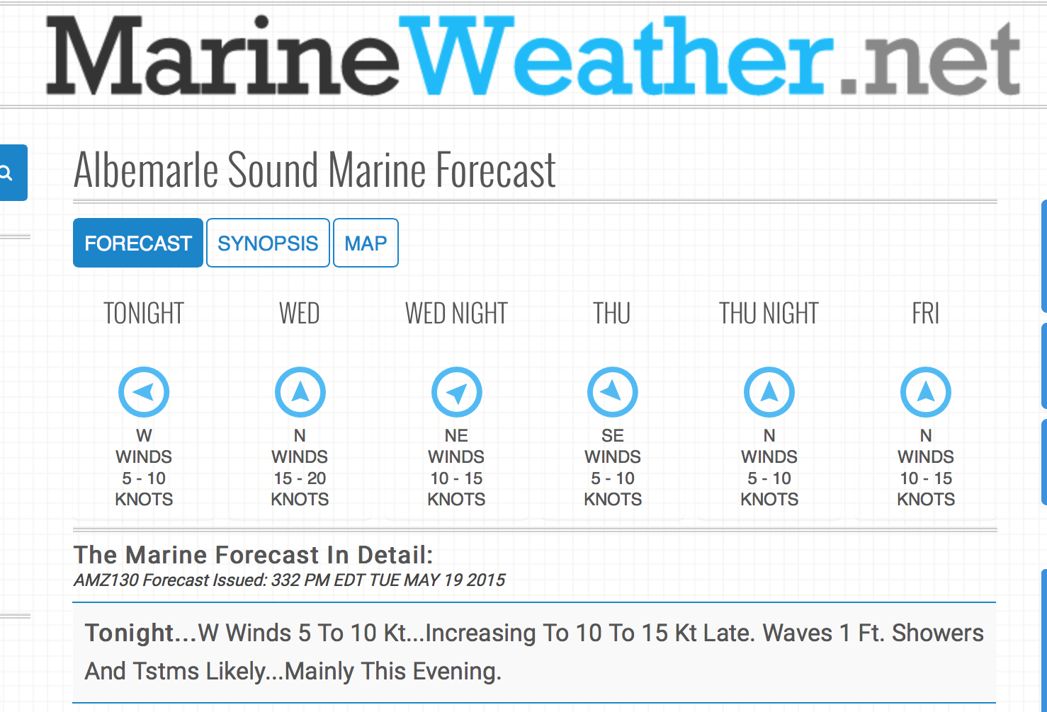
Weather forecast for the Albermarle Sound
Say goodbye to Alligator River Marina and Truck Stop!
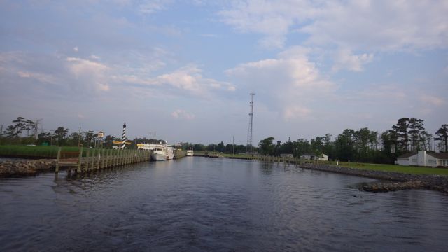
Leaving Alligator River Marina
We navigated between the markers and the crab pots and gently swung back into the channel.
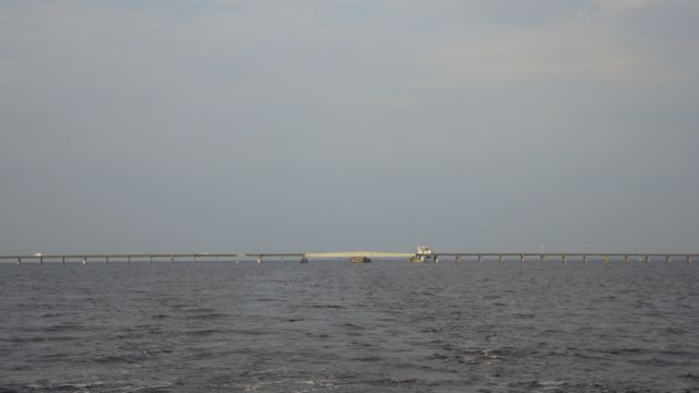
We tip our hat at the Alligator River Swing Bridge
Out into the Albemarle Sound, we got gently rolling water. I don’t know if it is 1 ft waves. Approximately 5 miles from the Alligator River Marina is the big decision point. Do you go left to Elizabeth City and the Dismal Swamp Canal to Norfolk? OR Do you take the right path to the Virginia Cut Canal to Norfolk?
Decision Point…. coming up…which way do we go?
What is the difference between the two paths? The Virginia Cut goes toward the Atlantic. More boats, faster boats, more boat traffic. The marina that everyone stops at “Coinjock” where they pack boats in like sardines. Coinjock is known for their steaks. Gotta stop there at least once to experience it all. Another Sound or two and just busy water.
We decided to go to the Dismal Swamp route. From what we have heard and seen, it is slower, quieter, and beautiful. We shall see tomorrow. Today, we just have to get across the Albemarle Sound.
Decision Made – Route 2 – Dismal Swamp
We scanned the waters and saw a sail boat to the right of us. Not many boats on the water.
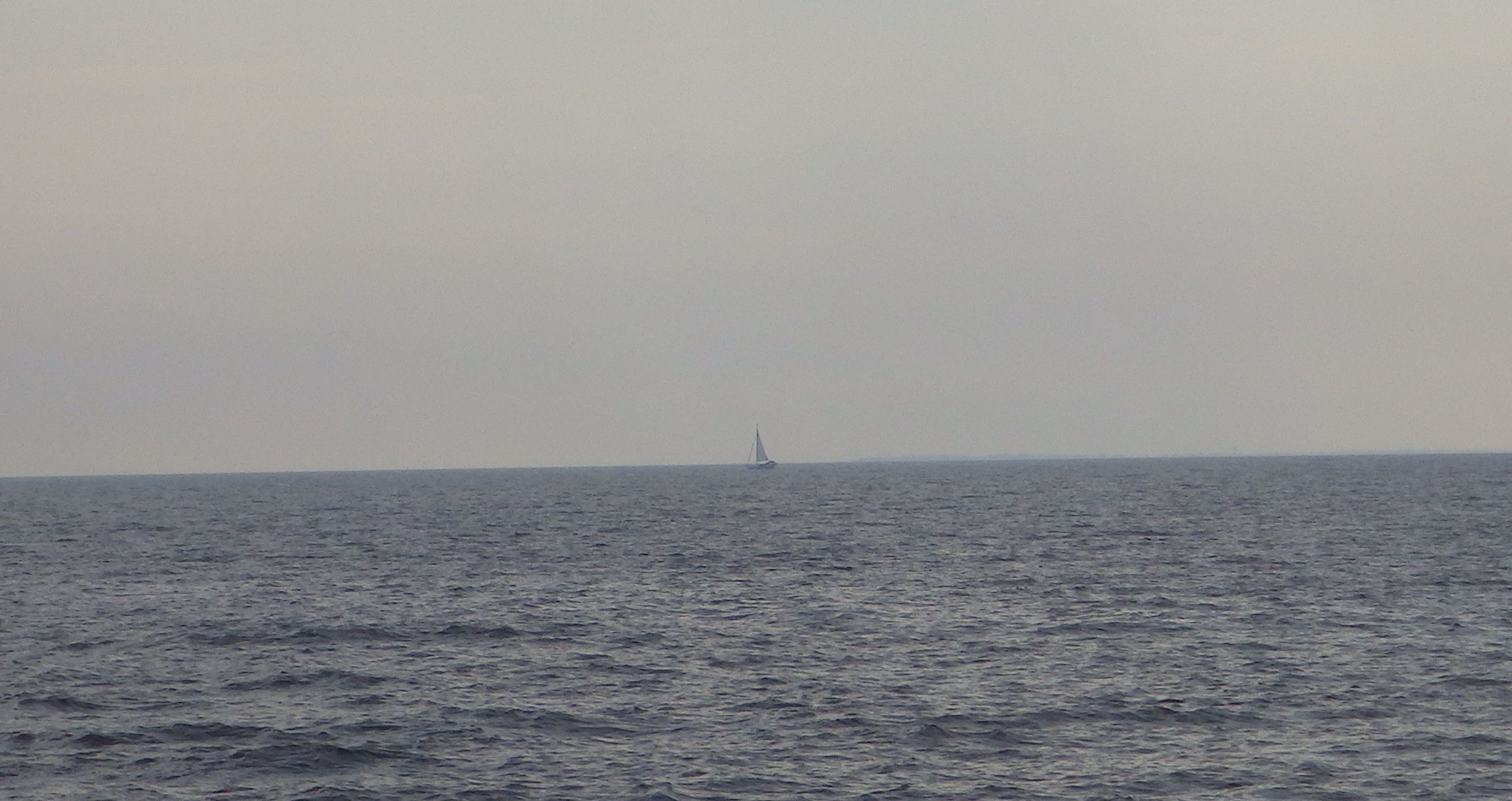
Sail Boat taking the Virginia Cut path
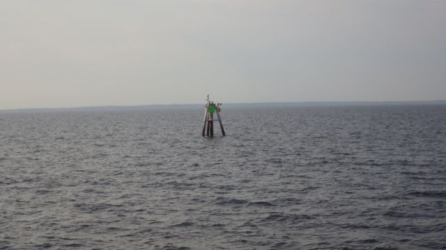
The other notables for the Albemarle Sound is the numerous crab pots. Since it isn’t that deep all across the water, many crabbers put their cages and buoys everywhere. Most of the buoys are out of the channel. Not all. I had the binoculars out scanning the water as Wayne drove the boat. “Crab pot to the starboard.” “Where?” “Over there …the orange one!” “I see it.” Then Wayne would steer one way or the other to miss them. All morning long.
I got tired of calling them crab pots so I changed my name for them … I started calling them “daubers”. “Daubers to the right.” “Red dauber to the port.” “Black dauber right there!!!!”. Just easier to say and seemed to fit for my simple mind.
I found a picture of Daubers. Imagine the cotton tip as the buoy sticking up out of the water. The lid as the crab cage down under the water. Kind of fits.
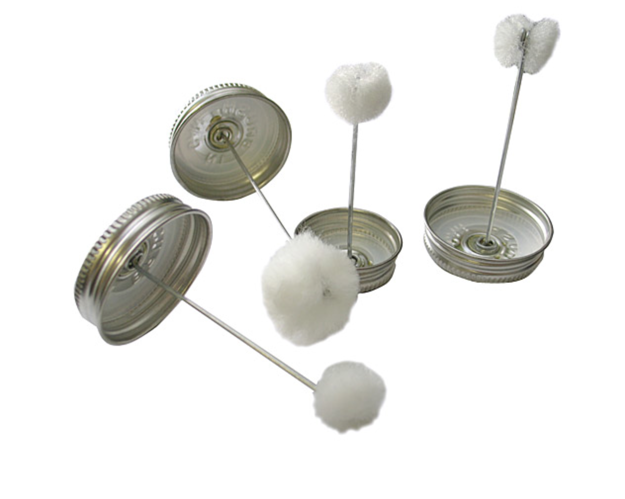
Daubers
Thus, daubers became my term became the norm for the rest of the morning. We saw white, orange, blue and green daubers. And a few black daubers were really hard to see.
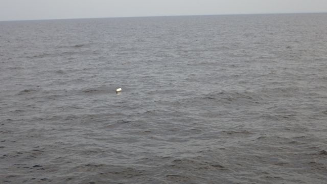
White Crab Pot Buoy
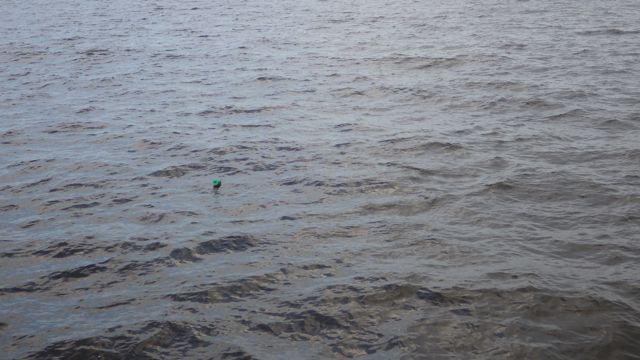
Green Crab Pot Buoy
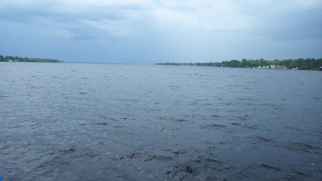
In the middle of the Albemarle Sound. Sound? Lake? Lots of water!!
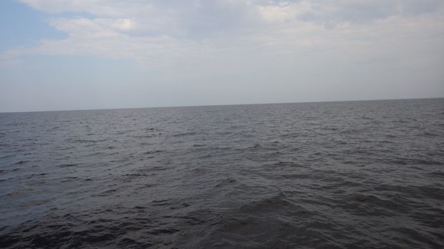
In the middle of the Albermarle Sound
1 foot seas? We rolled side to side somewhat. Back and forth rather than up and down with a hard slap. It was ok for me until I went down in the galley to make some sandwiches for Wayne and I. He drove around some daubers and the boat rolled more than I had expected. Before I knew it, my stomach got a bit nauseous. I got back up to the fly bridge, sat down in the wind, and took a breath. All was fine again in my middle ear!
It took us about a hour and a half to cross the sound. Then we entered Pasquotank River and the water calmed down immediately! We got across the Albemarle Sound in one piece!! Yea!! A good day.

Across the Abermarle Sound and into the flat water
FLAT water!! This river might be rough sometimes, but today? Wonderful! So flat that it is easy to see this is not a dauber. Soon you, too, will become expert in knowing the difference!
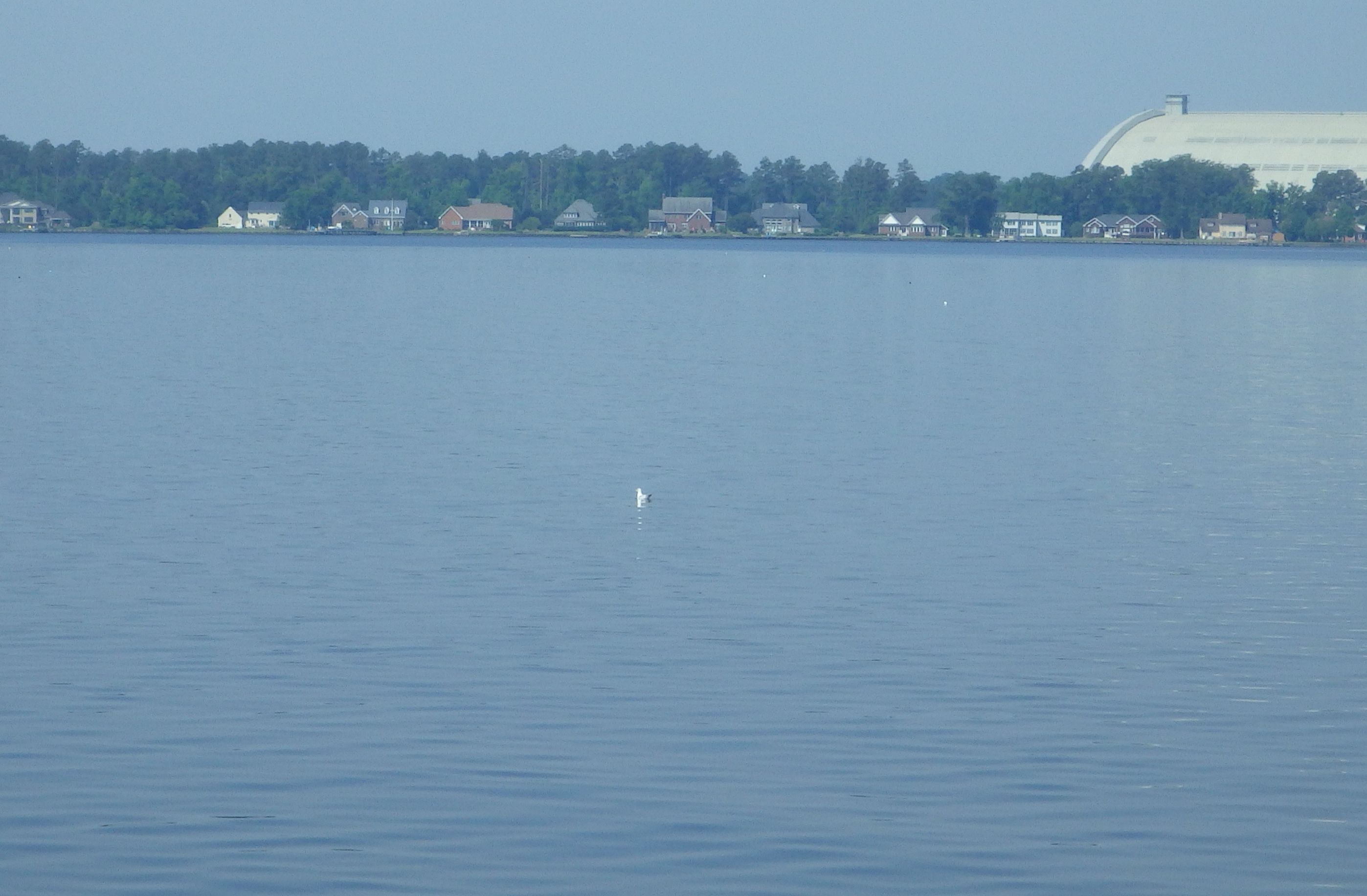
A Bird!
You see that large white rounding building behind the bird? We have been watching it as we came into the Pasquotank River. This is a distance shot. What do YOU think it could be?
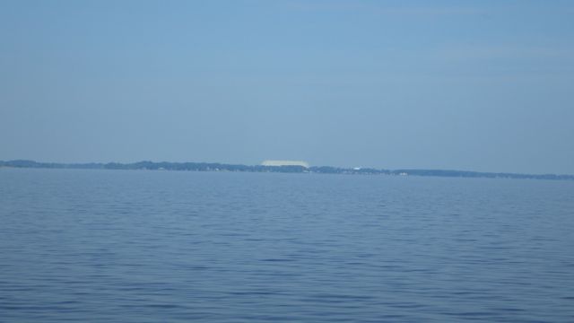
It took us a while till we got closer. It is “Tcom”. An Airship company. You can see one of the airships. We couldn’t tell if this is a model or an actual ship. Their website says they are “the proven global leader for innovative, cost-effective Airborne Persistent Surveillance solutions protecting national security in the world’s most demanding operations environments”.
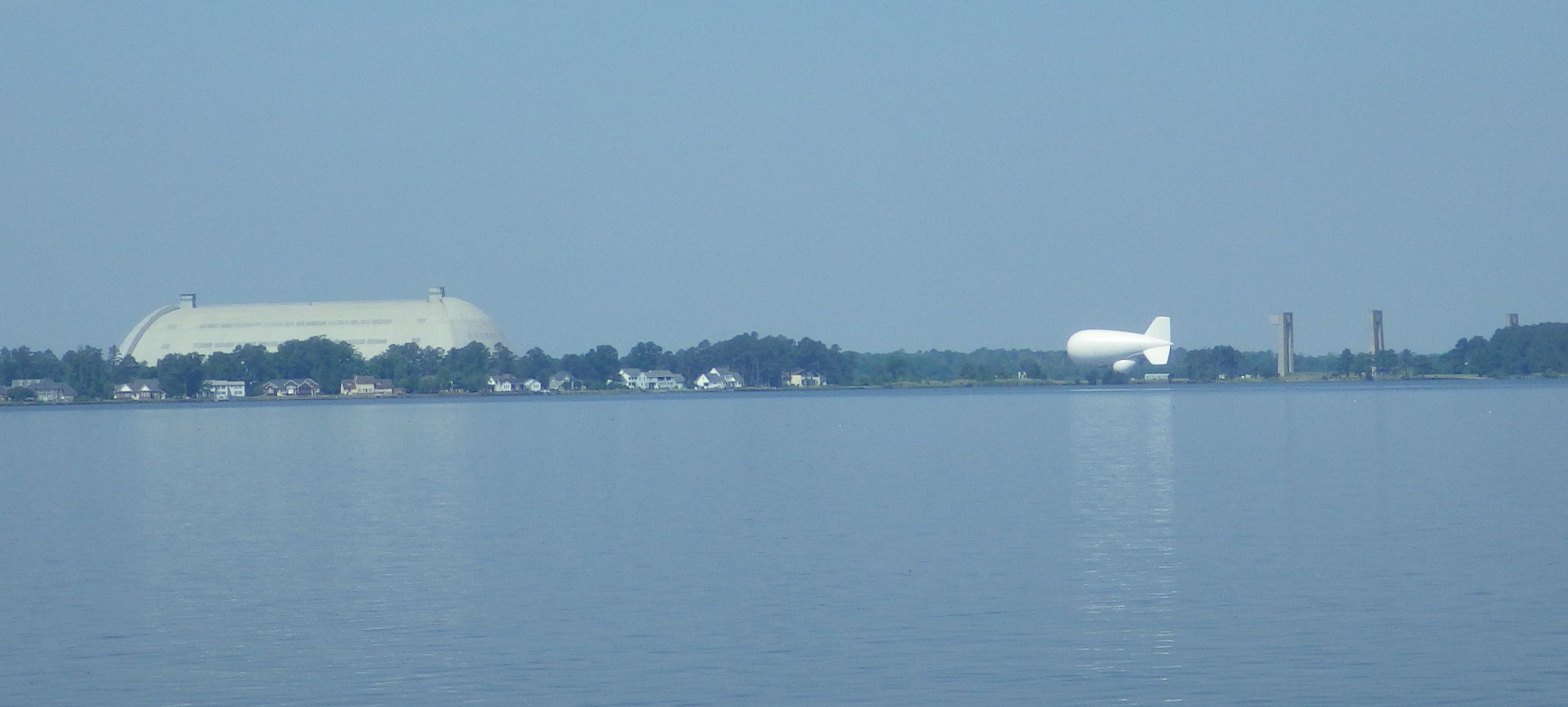
Airship company
We assume the large building to the left of the white airship is the manufacturing, service hanger. Nice picture of the huge airship.
Up the river is a Coast Guard Air Base. We saw 2 helicopters flying around.
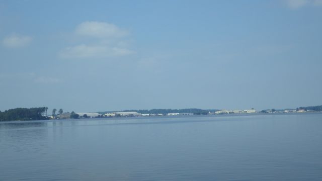
Coast Guard Air Base
Finally, we are at the Pelican Marina in Elizabeth City, NC. We seem to be the largest boat at the dock. The sign looks like it has seen better days. The dock master said, “you see the dilapidated sign? That is where you will tie up for the night.”
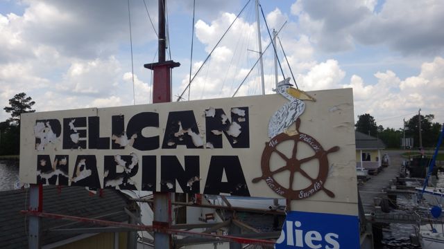
Pelican Marina
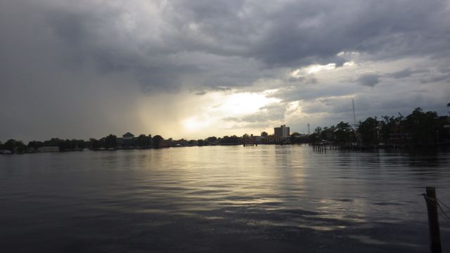
I wanted to get across the sound early because an afternoon storm was forecasted.
Storm coming…

Storm getting closer
We had a few rain drops. A bit of wind. But nothing we couldn’t handle. Everything settled down to a quiet night on the water.
Almost Sunset looking across the Pasquotank River
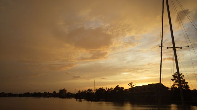
Sunset at Pelican Marina, Elizabeth City, NC
A wonderful day! By the way, we have traveled 1,111 miles since our journey on the Loop started.
