
We left Southport Marina at first light. The wind was low. The tide was going out and the water was calm. Wayne backed us out of the slip picture perfect! Wonderful. One of the dockhands helped with the lines. Easy Peasy!!
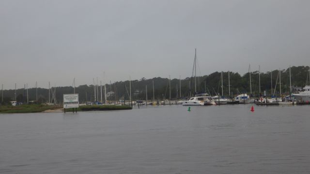
Leaving Southport Marina
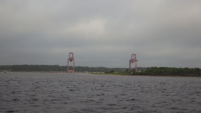
We drove out of a protected little cove into the big Cape Fear River. Isn’t that a name to chill your heart?
Google maps identifies this as Archer Daniels Midland. We aren’t sure. It is a massive dock that looks like it could load and unload materials all the way to the factory. Looks like liquid through the white pipe. I looks like at least a mile long.
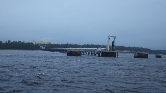
Terminal poking out into the river
Early morning car ferry. Of course, the sun not being my friend so the picture is dark. It was fully loaded with cars. I assume the occupants were huddled in the enclosure sipping coffee and reading the morning newspaper.
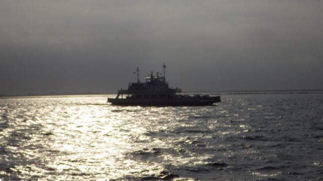
Car Ferry in the morning!
This boat was filled with Adventurers on the “Adventure”. They did not wave back at us. I wonder where this boat is going so early in the morning. We didn’t see fishing gear out.
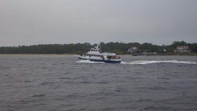
“Adventure” starting their day
We passed a rather long large military terminal. “Restricted area”. They even had watch towers located at several places. Again, the charts said something about “Army”. Google just identified it as a “military ocean terminal”. Nothing to load or unload. Just a long area that could handle many boats, cargo, or ships.
Restricted area
Our day was a short one. 43 miles today. Filled with skinny water. We slalomed from side to side trying to constantly find deeper water. See the sand bar right near one of the markers? Of course, the tide was going out which would explain some of the low water. The other explanation is that the sand moves around a lot because of the tides, inlets, and outlets around a number of small islands between us and the Atlantic. We were in less than 6 feet often today.
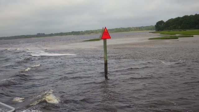
Sandy area near the marker
This is the best shot I got. We saw several markers with Osprey nests on them. Must be a favorite place for them to raise their young.
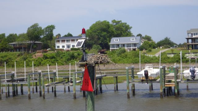
Osprey Nest –
As we approached one of the many bridges today, we noticed the erosion of the tree lined beach. The trees have fallen over and are collecting on the shore. So, the next really good high tide should pick these little babies up and move them down stream? Wow!! I don’t want to be on the river then.
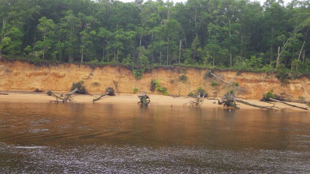
River erosion
The ICW today was a mixture of houses and swamp. We did enjoy watching these two dogs follow the kayaker. After kayaker got into her boat, the dogs started to follow her into the water. Then they ran up river and jumped into the water when she rounded the small docks. We were not sure who was having more fun. We vote the dogs!!

Dogs and the Kayaker
We found our marina for the night right off the ICW. Mike the Harbor Master met us at he dock, took our lines and helped tie us up. It was his day off so we really appreciated his help. Even though it was a short day mile wise, we were worn out for watching the depth finder all day. Where is the deep water? From what I read and heard recently, the deep water is “right up the road.”

Sunset in Hampstead, NC
