
Today we have begun our Loop. We had a terrific stay at Marina Jacks in Sarasota, FL and are heading south. We want to thank the staff for their help, smiles, and friendly waves during our stay.

There are so many things to do when we left our slip at Marina Jacks that I was too busy to get pictures. I needed to get the fenders in, lines bundled, and watch for markers so we can get out of the marina channel and into the Gulf ICW.
We decided to travel the more protected waters of the Gulf ICW. This is a picture of our chart plotter. We are the boat. The 8.2 in the upper left corner means we are traveling at 8.2 knots or 9.4 mph. Can you feel the wind blowing your hair back? between your ears? The thin white line is the boat channel that we are following. If you look closely, you can see a magenta line. That is the middle of the channel that everyone follows. It should be the deepest part of the channel. On either side of the white line are blues and yellows.
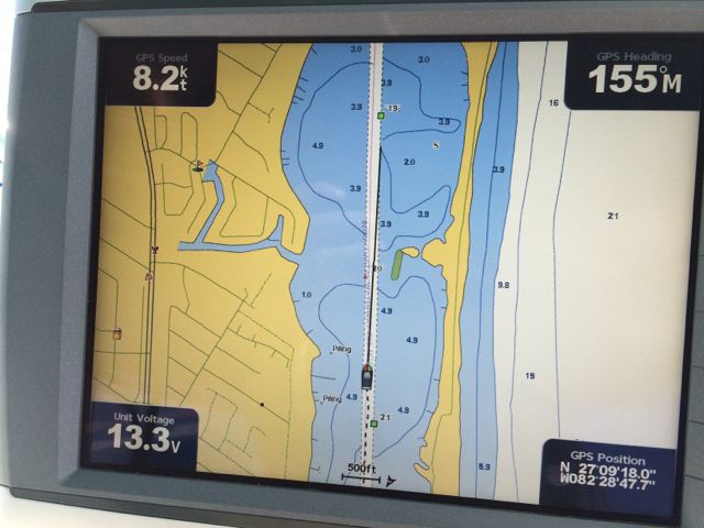
The blue color is water, of course. You can see that numbers in the blue area are the charted water depth. Our boat’s draft is 4.5 feet. If we strayed out of the white line, where the water is 4.3 feet deep, we would hit bottom. Not a good thing. Thus, we need to follow carefully when we are in “the big ditch” as some people call it. The ICW. Do you see that 1 near land. 1 foot of water. Maybe a skiff or dinghy can travel in those waters. We certainly cannot.
The yellow is land. We are heading south. On the left side is LAND or Florida coast line. On the right side looks like islands. Thus the protected waters of the ICW. On the far right, you will see a lot of white. The numbers of 15 and 21 are very enticing. Right? Lots of depth. However, that is the Gulf of Mexico. Deep water. Choppy waters. We will stay in the protected waters, for now, thank you.
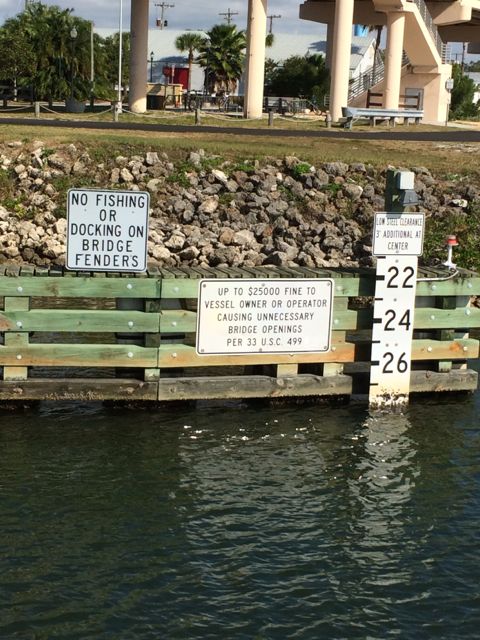
Along the way, we went under several bridges. Our boat height is just under 19 feet. If the bridge is taller than that, we do not need the bridge to open. There are signs next to the bridges to let us know the bridge clearance. This one shows over 28 feet of water with an extra 3 feet at the center. Obviously, there is plenty of room for our boat to slowly go under.
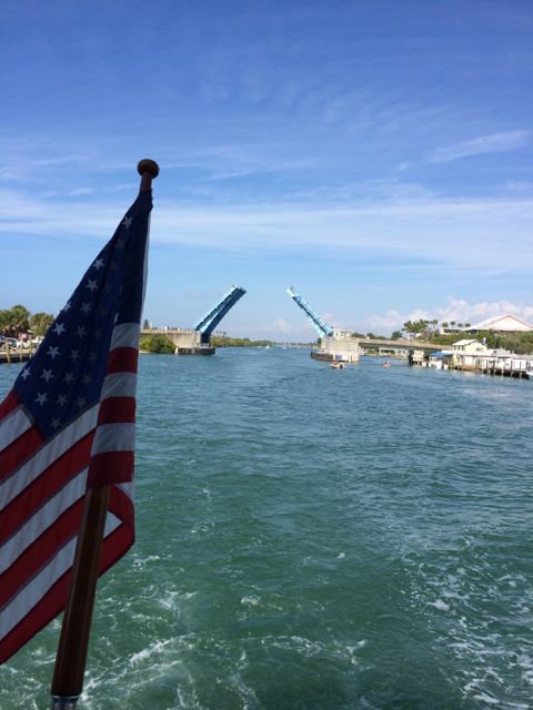
We had to request three openings our first day. One was the Albee bridge that opens in the middle. We went through without any problems. In our excitement to start our trip, I forgot to take a picture of the bridge while it was ahead. Here it is closing after we went through.
Our first swing bridge was the Blackburn Swing Bridge being only 9 feet off the water. The bridge operator must walk to the middle of the bridge to open it. It pivots in the middle and swings open.
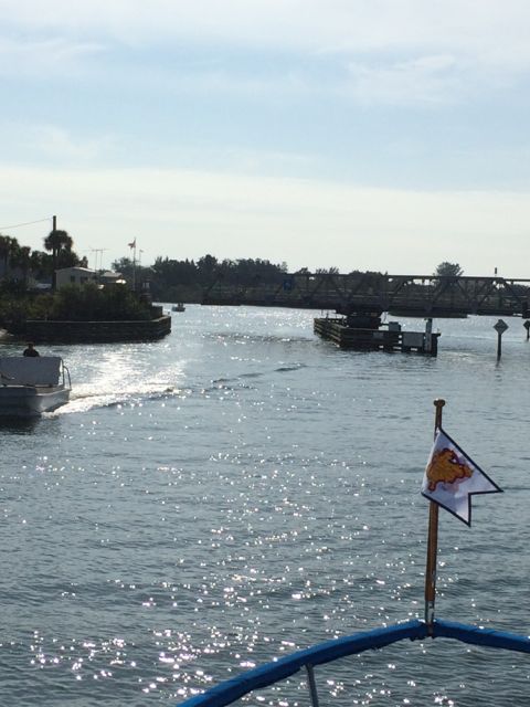
Beginning to open
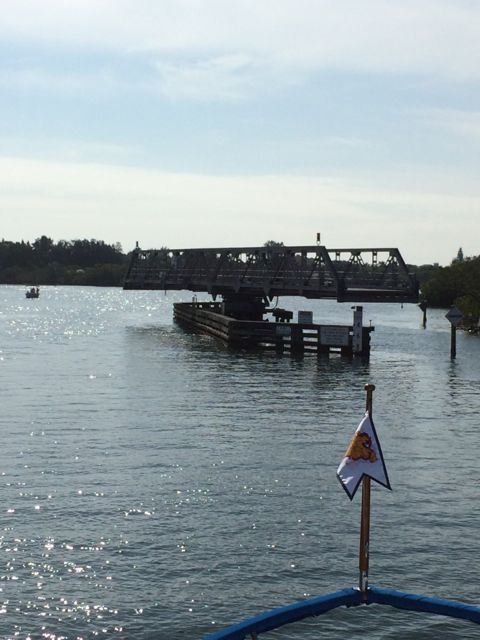
Almost fully open
There are many slow speed minimal wake and manatee zones along our way south. This means we go from a blistering 8 knots to something like 3 knots. Many gorgeous homes along the waterway. If you had a home along the waterway, you wouldn’t want folks zoom past your house and miss all the splendor that it is.
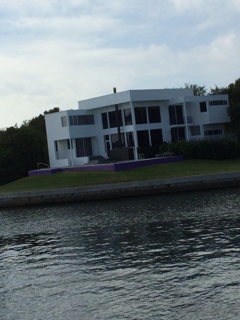
Beautiful house with purple retaining wall
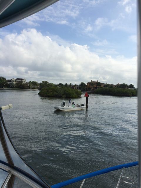
The weather was beautiful. This week is a holiday week. Lots of boaters on the water. More fishermen than we expected. Half throwing nets. Half using fishing poles.
Fishermen throwing nets
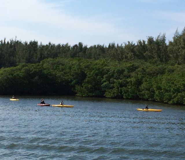
Kayaks… if you have more than one kayak is it called a crowd? A bunch? a School? These guys could easily travel in that 1 foot water. Water looks a bit wavy. Maybe our wake?
Sites along the way…
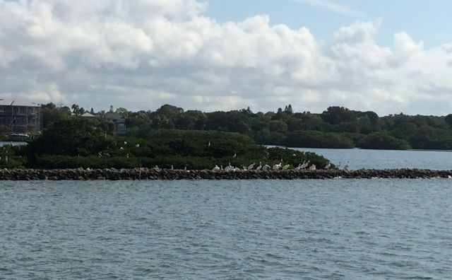
White Pelicans roosting
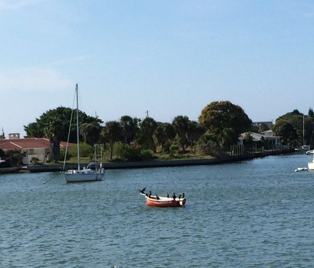
Where’d the captain go? Birds waiting for their ride.
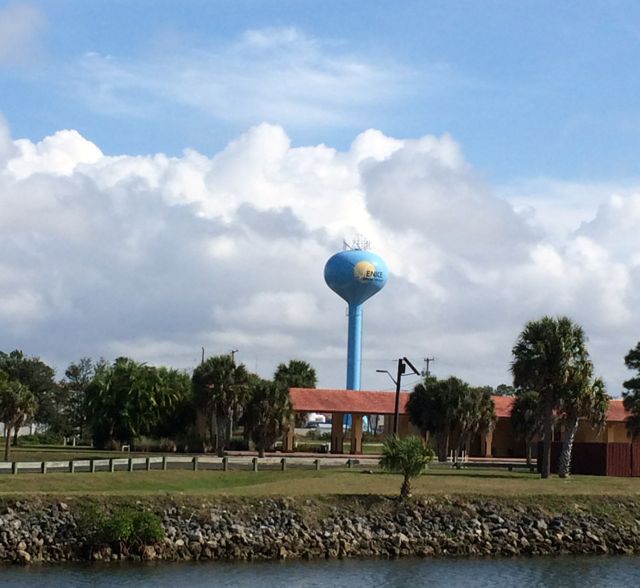
Venice water tower
One of the many attractions in Venice is a walk path / bike path that parallels the ICW. We saw plenty of people taking advantage of the good weather. It does look odd when a jogger passes you by, though.
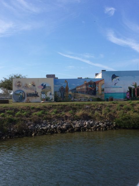
Mural along the water way in Venice
First days are always the hardest. Anxiety. Excitement. Fear. Joy. We went 38 nautical miles today. Doesn’t look far except that at the average of 5 mph, it took all day. We were very happy to pull into Gasparilla Marina in Placida, FL for the night.
See you on Day 2!!

Yippy! You are finally on the ‘road’!
LikeLike
Yay! You made quite the voyage for your first day! So proud of you both.
Fair winds and following seas.
Capt Dana
LikeLike